Mt. Tamalpais SOTA activation 2020-11-14
I’m back with a new report - I had quite a bit of fun in the North Bay last November activating Mount Tamalpais aka W6/CC-063.
The mountain is a birthplace of mountain biking and had been mentioned in The Dharma Bums by Jack Kerouac - the book made me fall in love and eventually move in with California.
Also this is the place where apes from Dawn of the planet of the Apes live.
Mount Tamalpais topo cast
Getting there
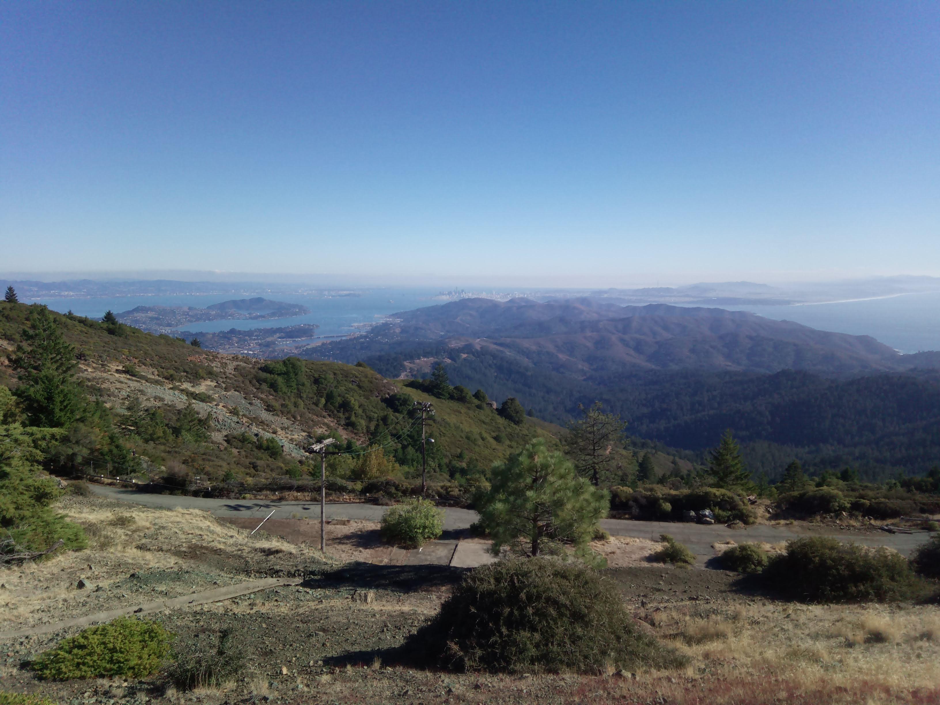
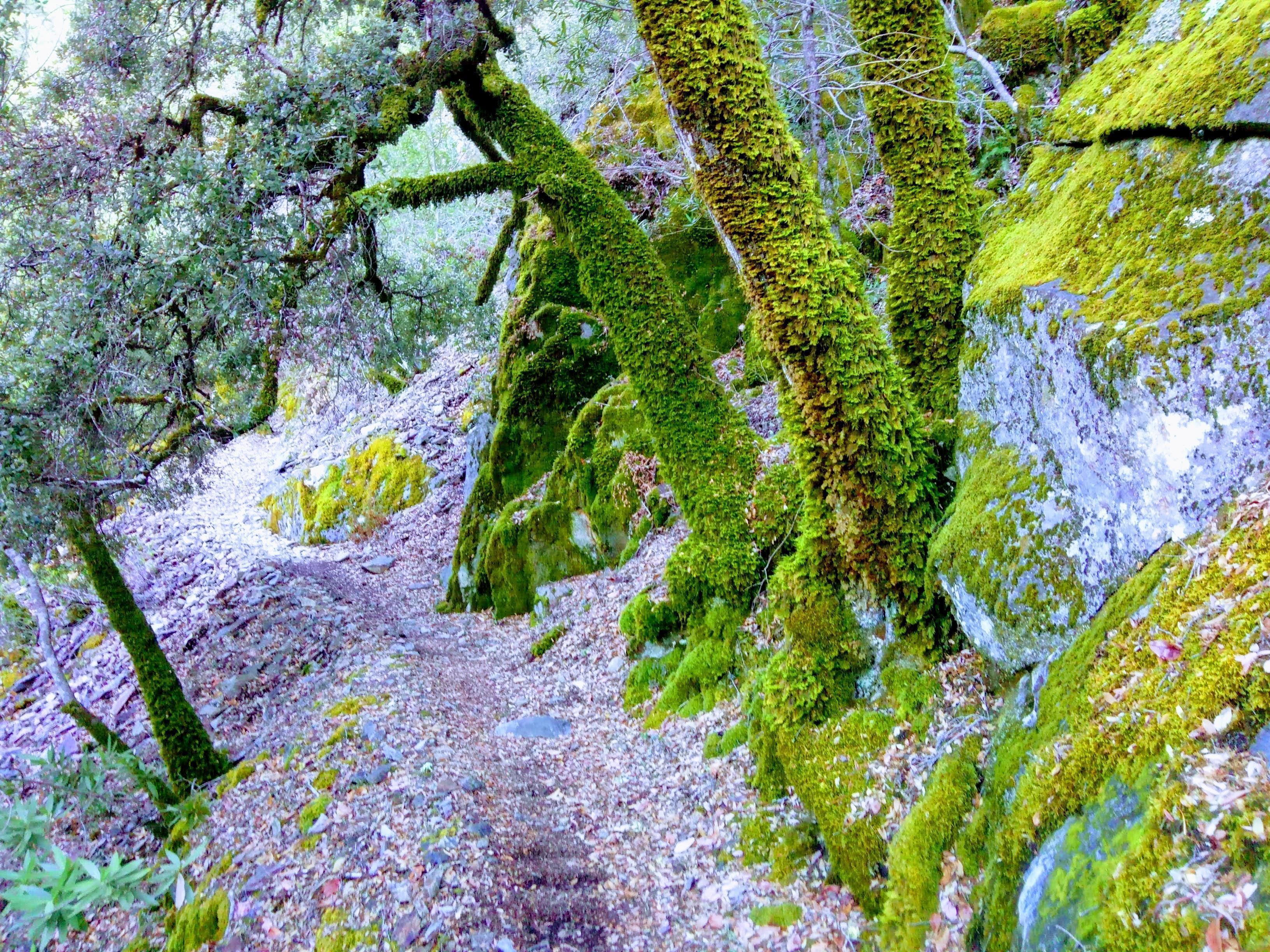
There is a long winding road climbing from Fairfax via Alpine lake. If you start early you’ll have a chance to see fog boiling in the lake valley.
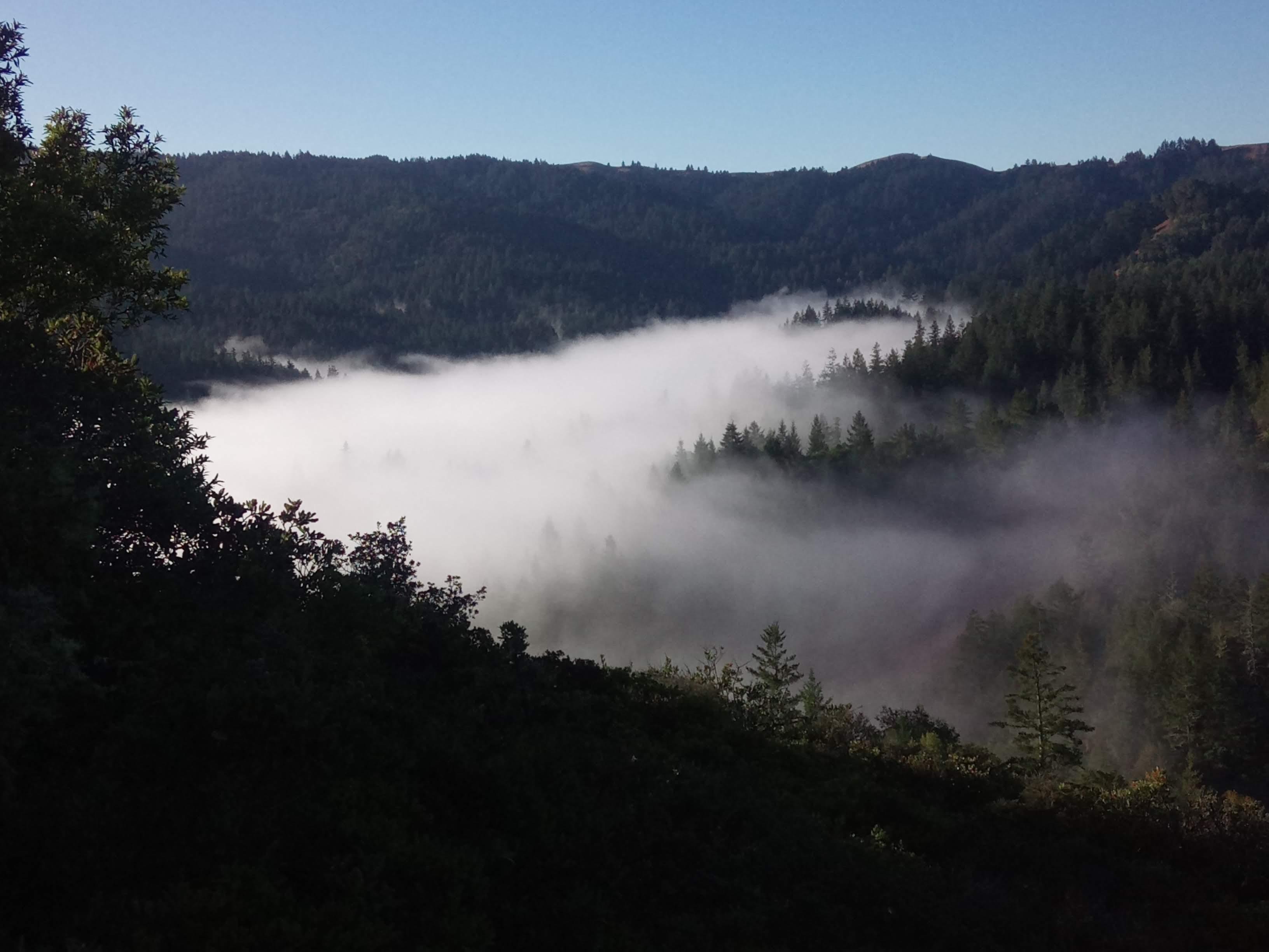
Starting early you can catch fog in valleys
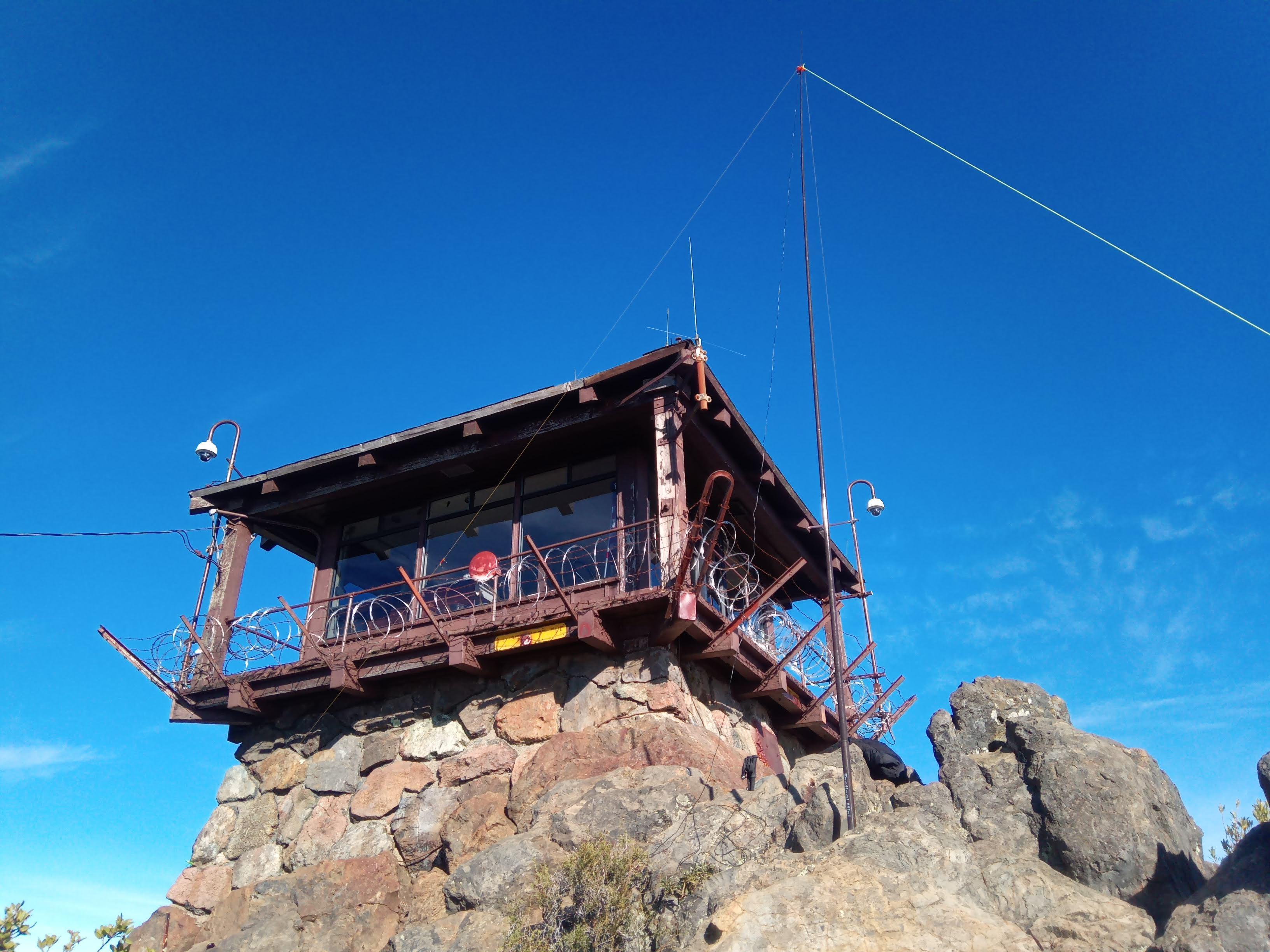
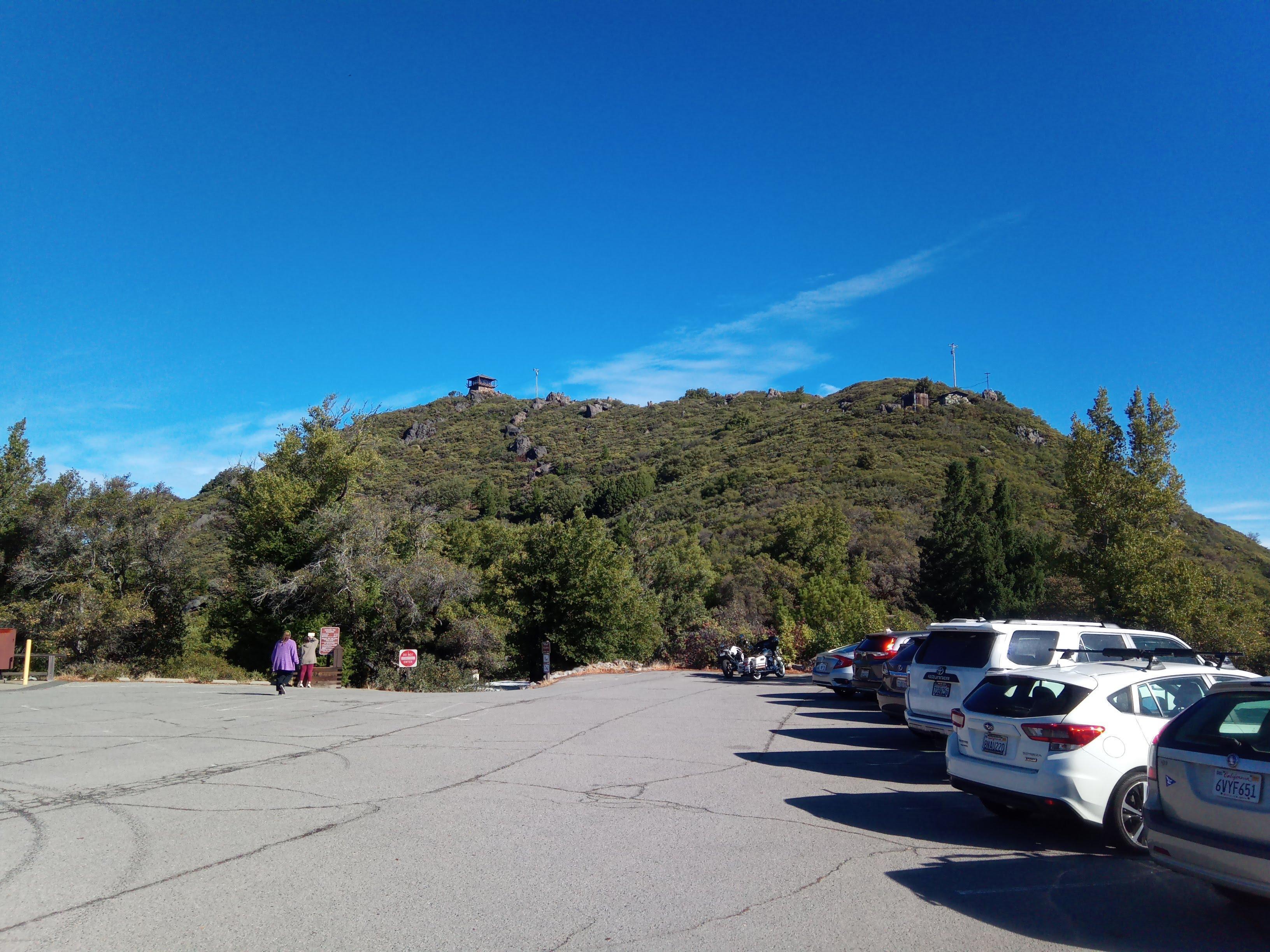
As with Mt. Diablo you can drive up almost to the summit. The mountain has three peaks and parking is close to Eastern peak with a fire lookout.
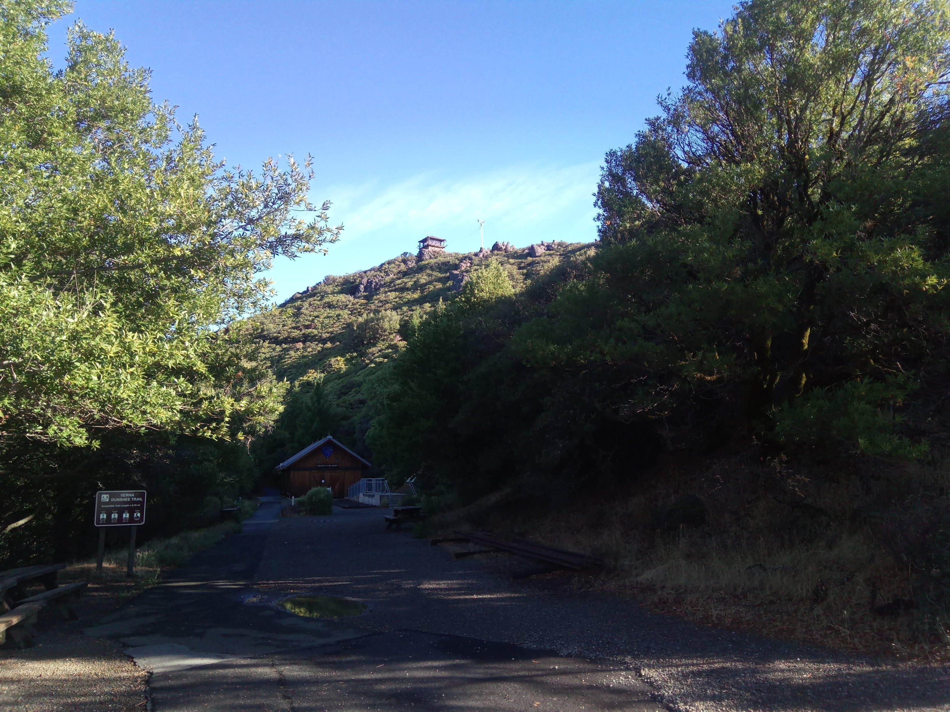
Fire lookout as seen from parking
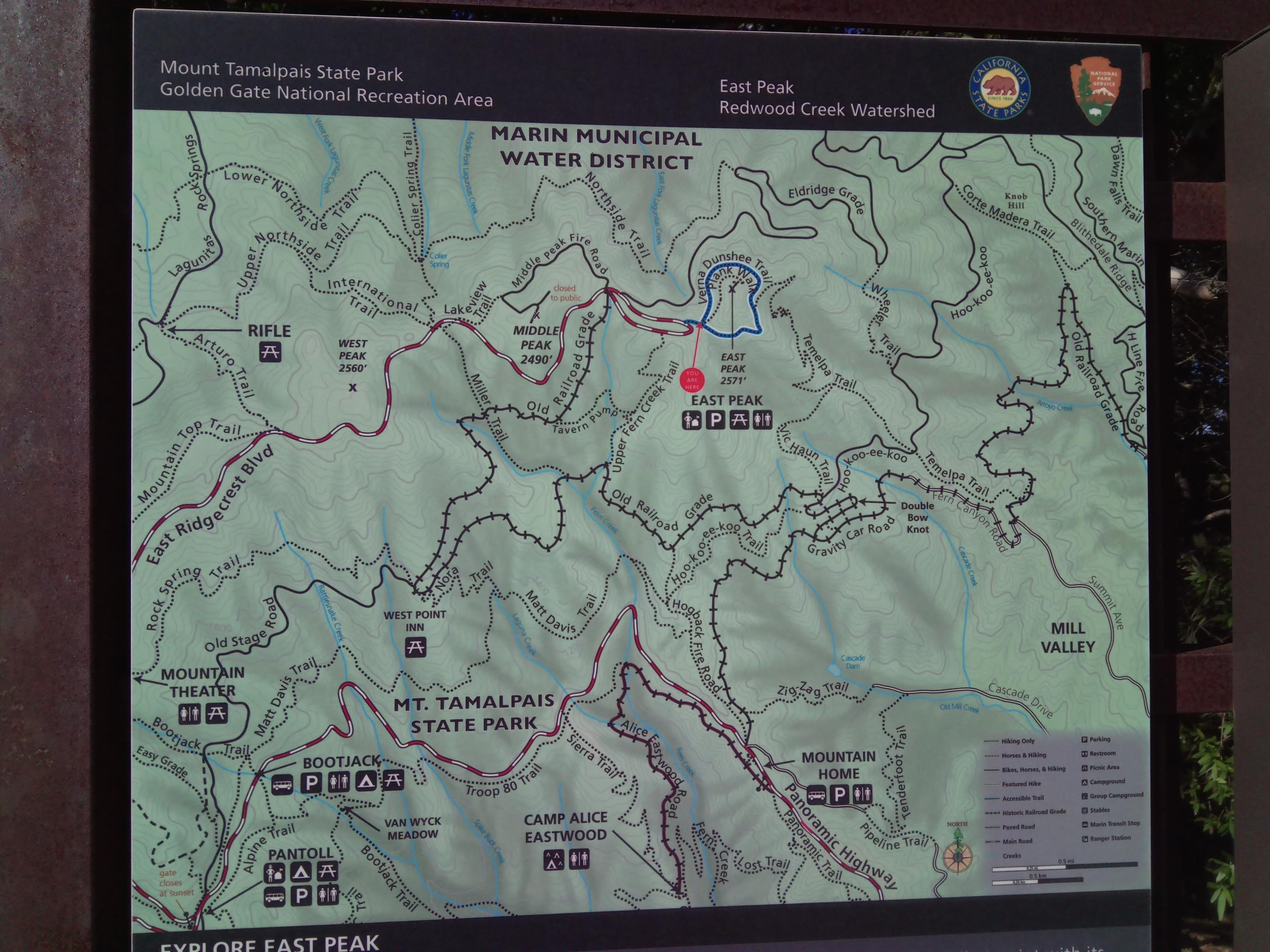
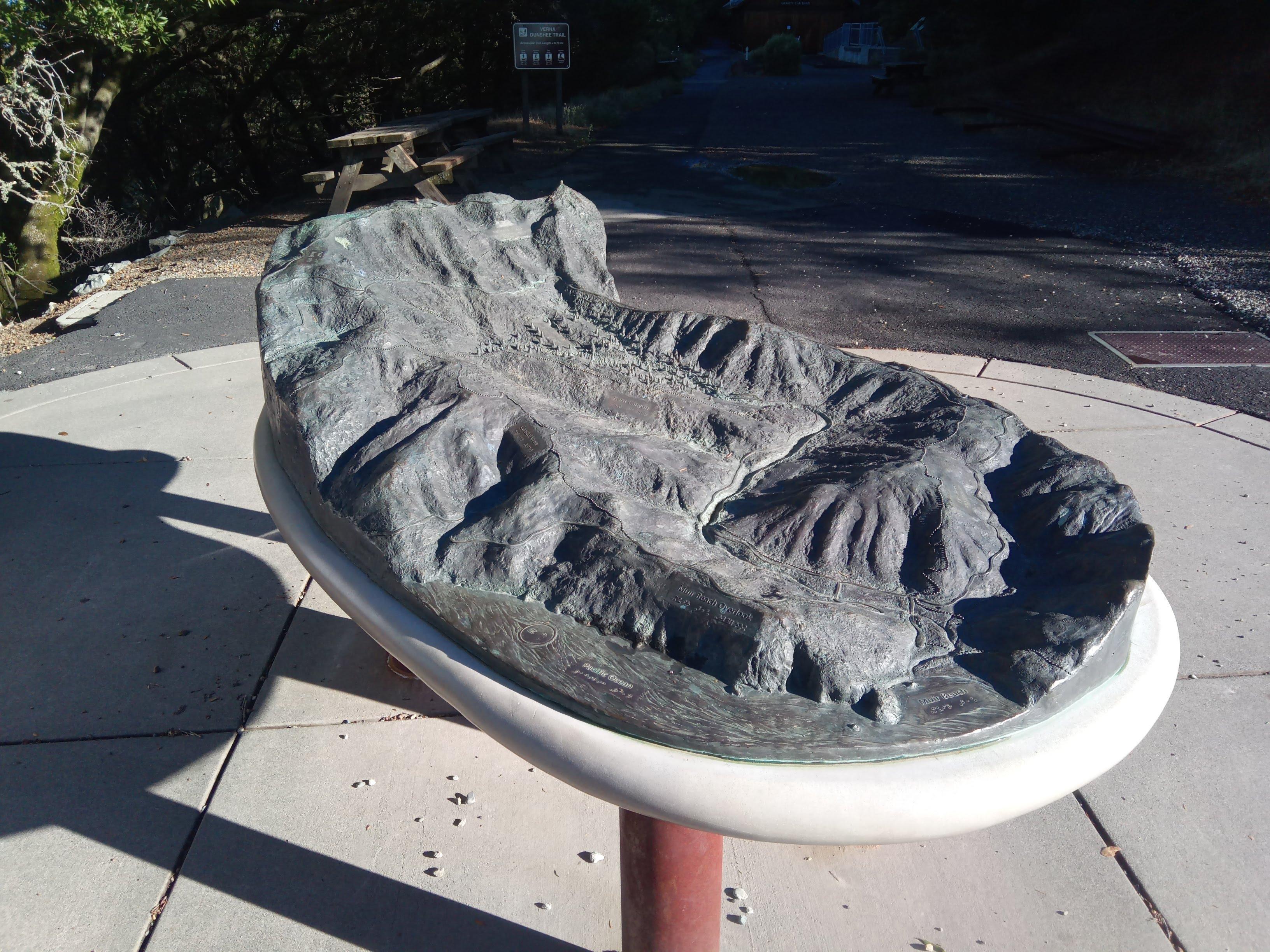
Park map
Mount Tamalpais SOTA activation
There is not much space around the fire lookout but I was able to tie my dipole to the rocks “wrapping” the building. Suboptimal given all this barbed wire and rebars interfering with the antenna but it worked ok.
My shack Dipole deployed, let’s roll!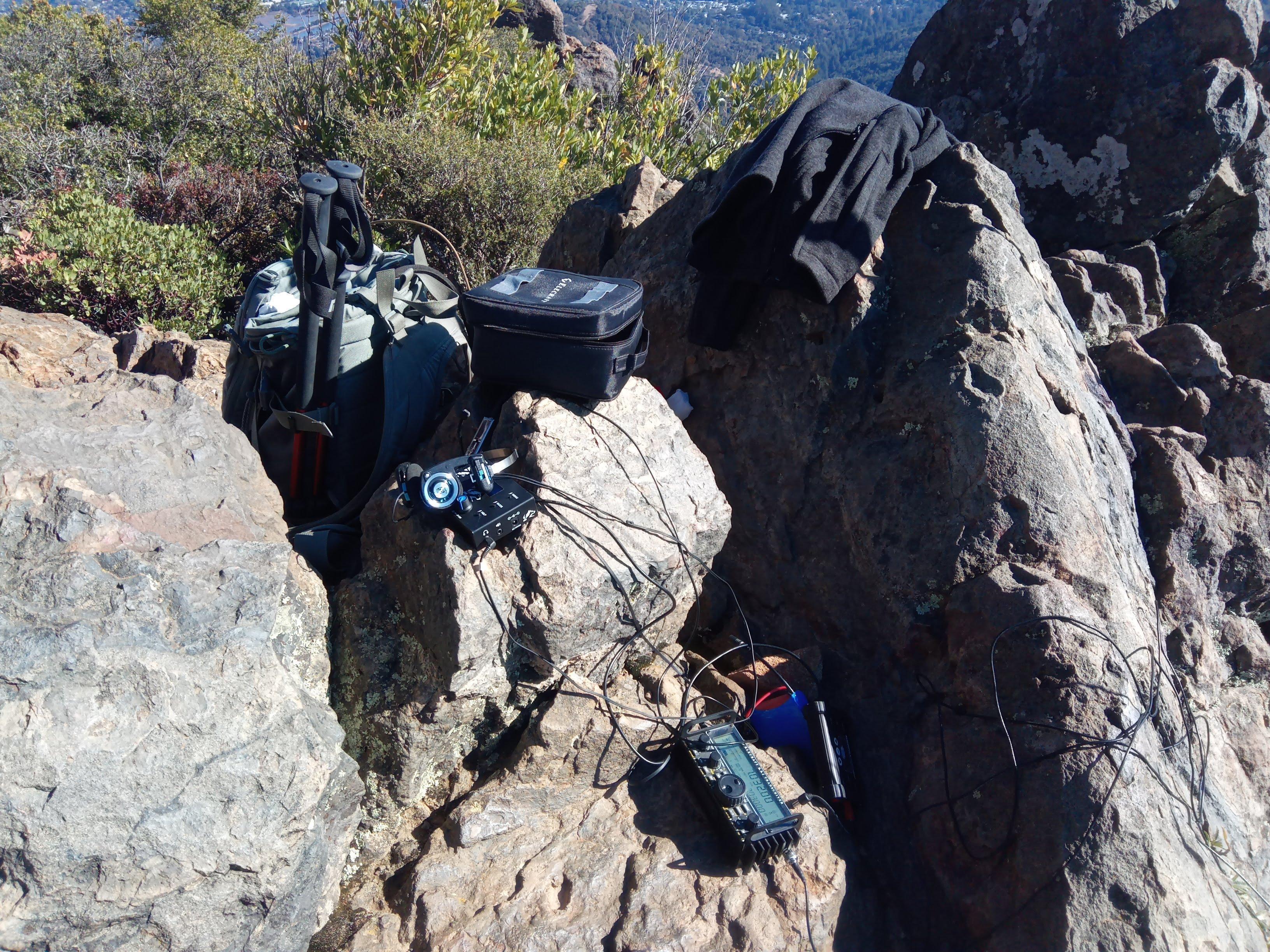
Stations worked from W6/CC-063
20 meter band had been extremely noisy, had to QSY to 40 meters.
| Time UTC | Call sign | RST sent | RST received | Frequency | Mode | Location |
|---|---|---|---|---|---|---|
| 18:15 | K0DTJ | 559 | 559 | 7.032 | CW | CM87 |
| 18:16 | NW7E | 559 | 559 | 7.032 | CW | CN94 |
| 18:17 | K6YK | 559 | 559 | 7.032 | CW | CM97 |
| 18:20 | KE6RS | 559 | 559 | 7.032 | CW | CM88 |
| 18:29 | K7GA | 559 | 559 | 7.032 | CW | DM22 |
| 18:32 | NS7P | 559 | 559 | 7.032 | CW | CN84 |
| 18:36 | N6MKW | 559 | 559 | 7.032 | CW | DM04 |
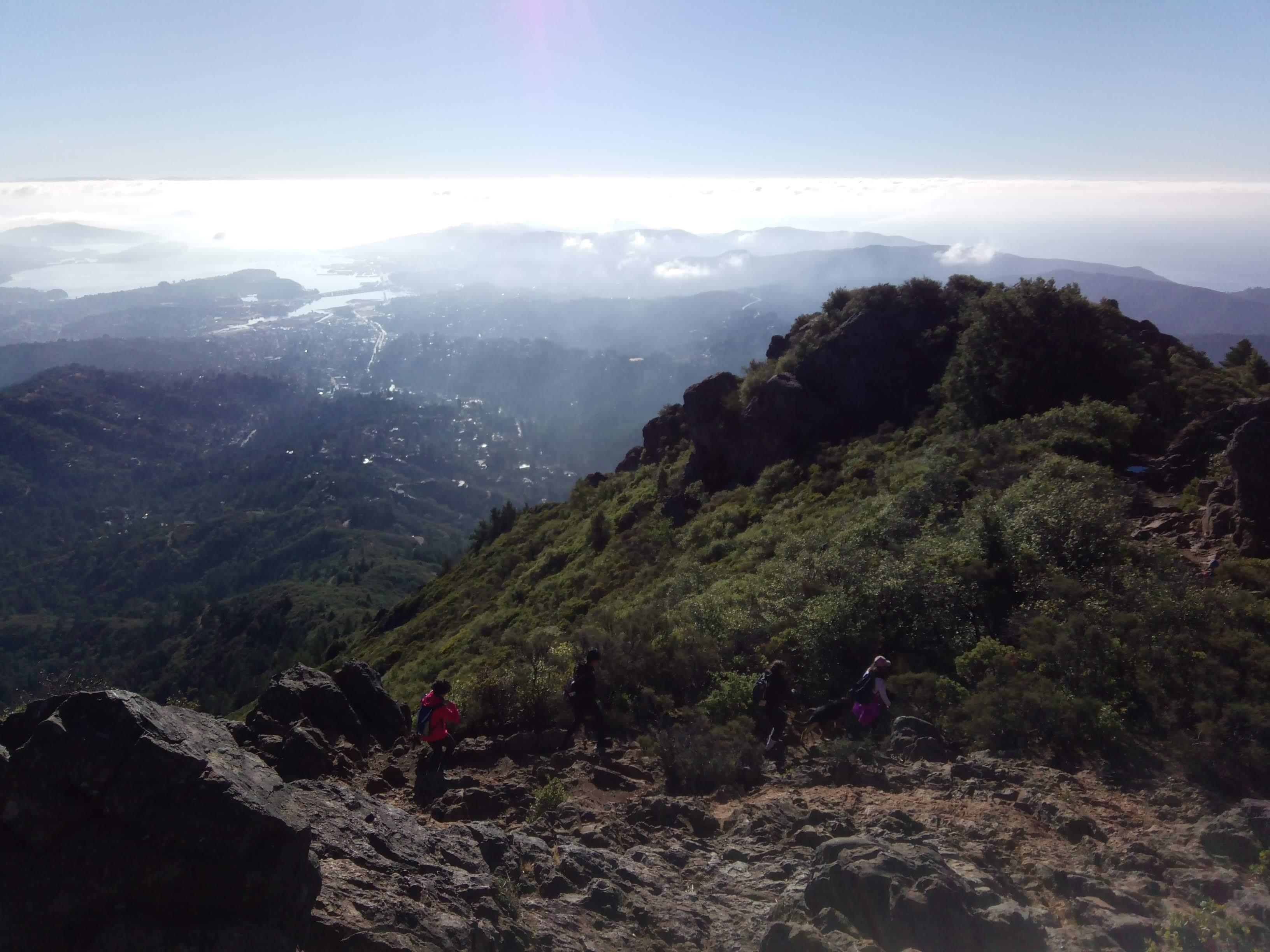
Hiking the loop
My plan was to work HF from the Eastern summit and hike a clockwise loop East Ridgecrest Blvd => Arturo trail => Upper Northside trail => Parking visiting two remaining peaks because SOTA with no hike is not fun. AA6XA wrote in his blog post the correct peak to activate is the Western one. I would say the difference in height is negligible but there is an abandoned base of 666th Radar Squadron and an active FAA radar installation on the Western peak. I decided to keep out and activate from the Eastern peak instead.
Active FAA radar The bay, Golden gate and Ocean view from J-33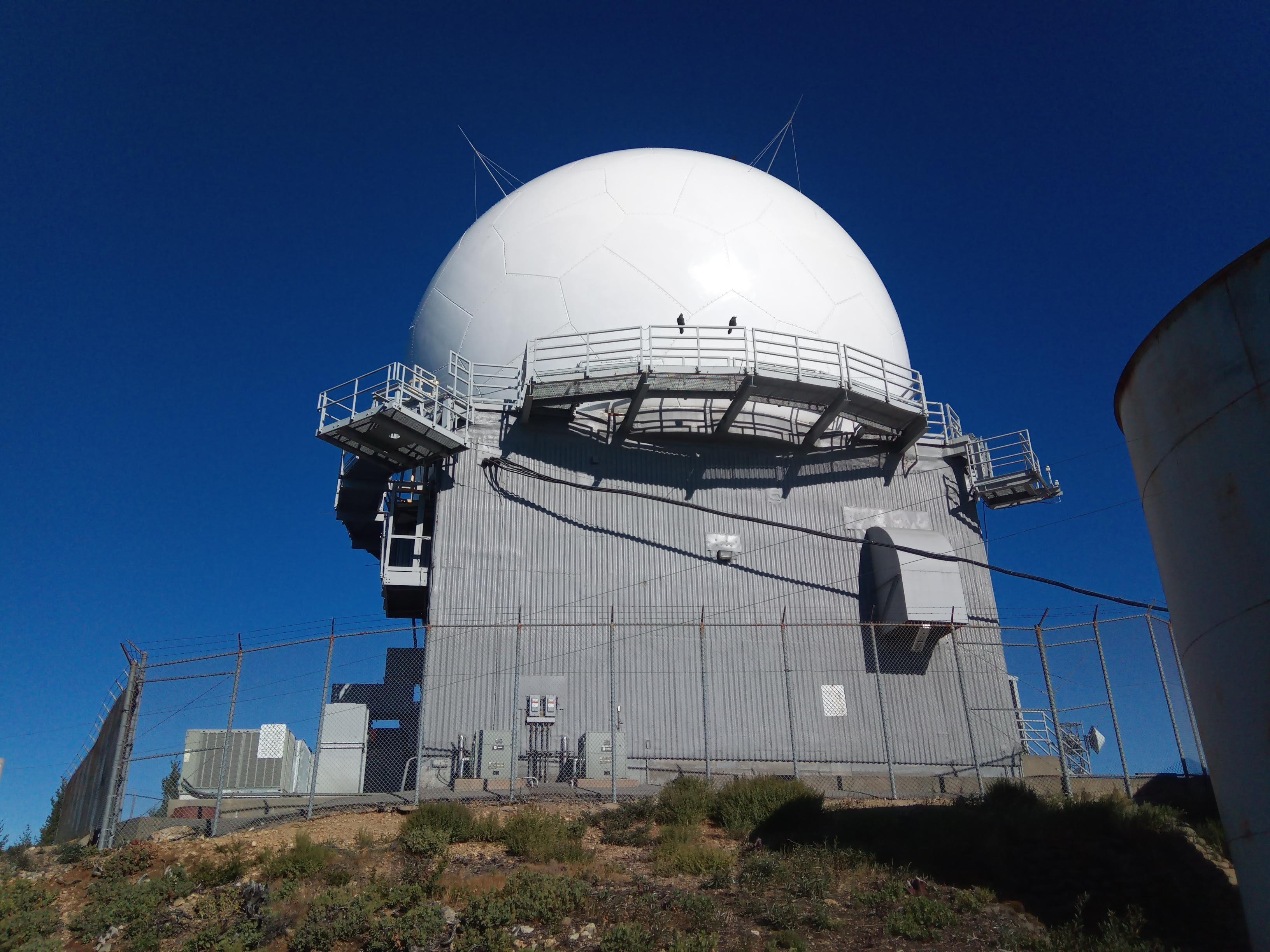
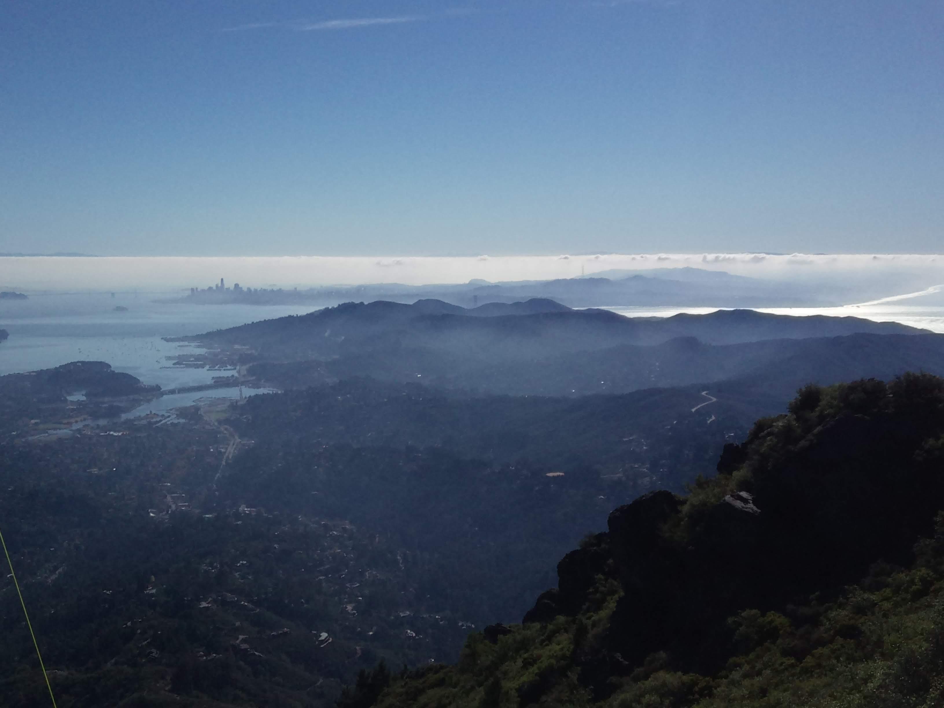
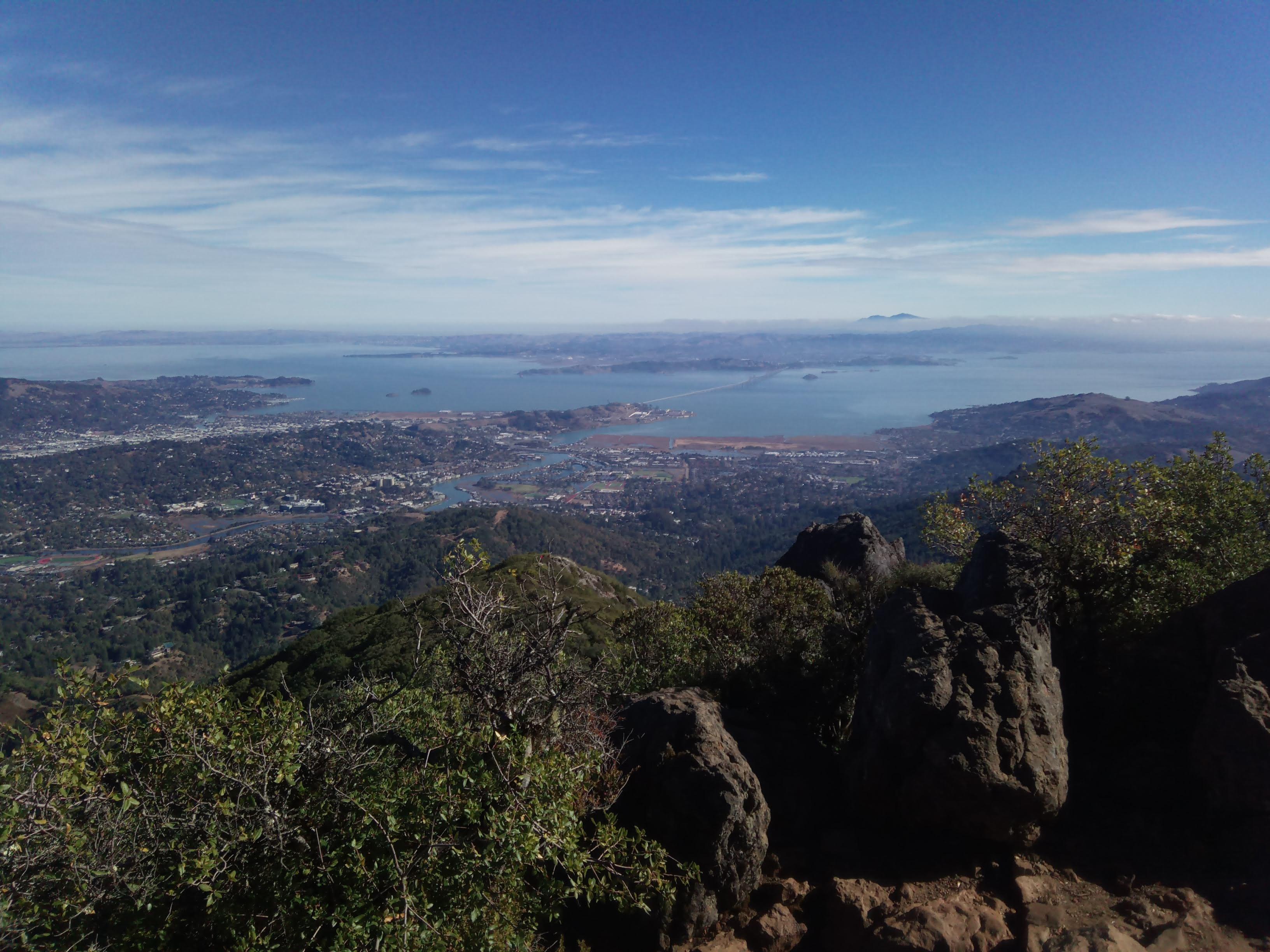
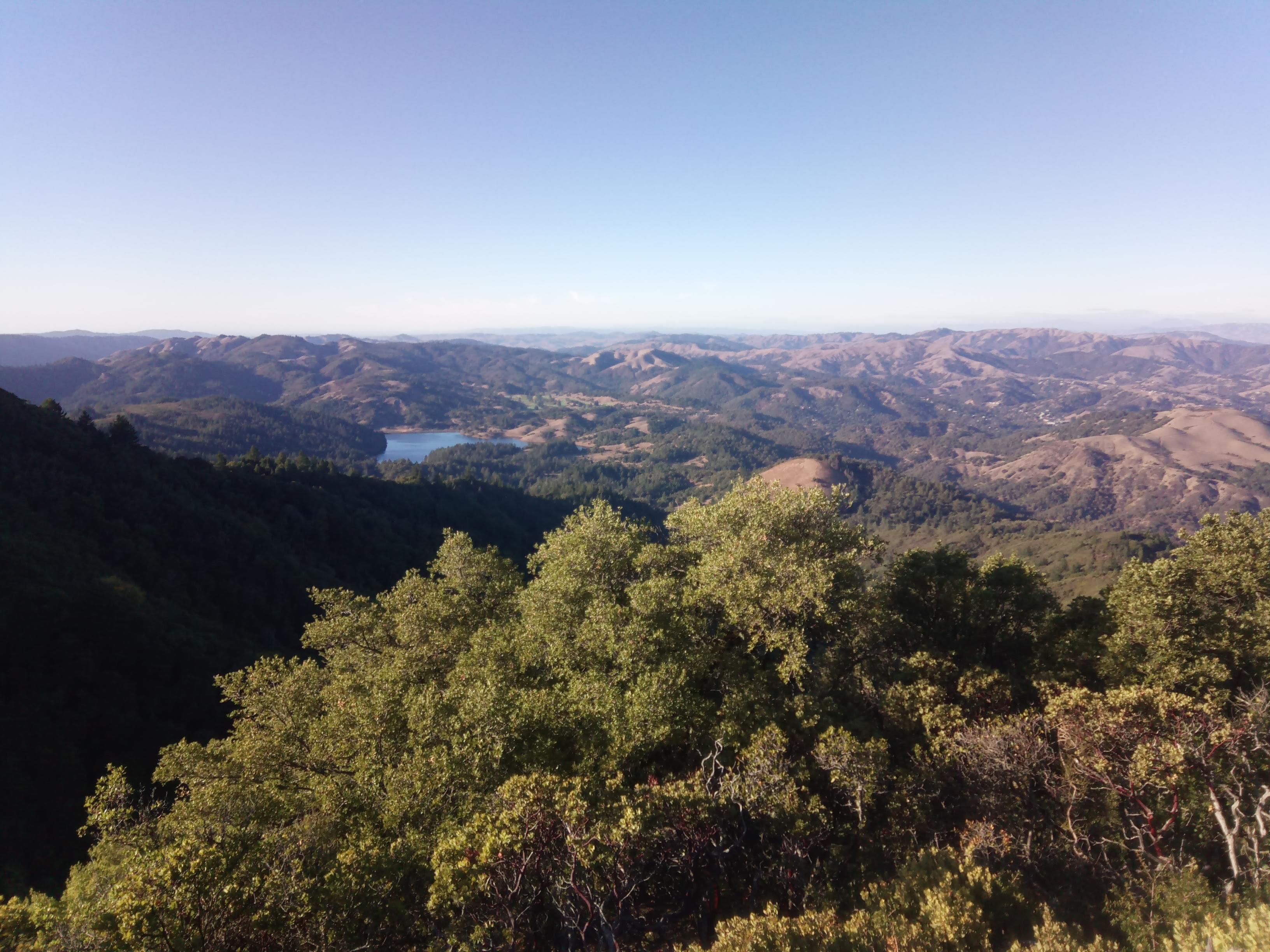
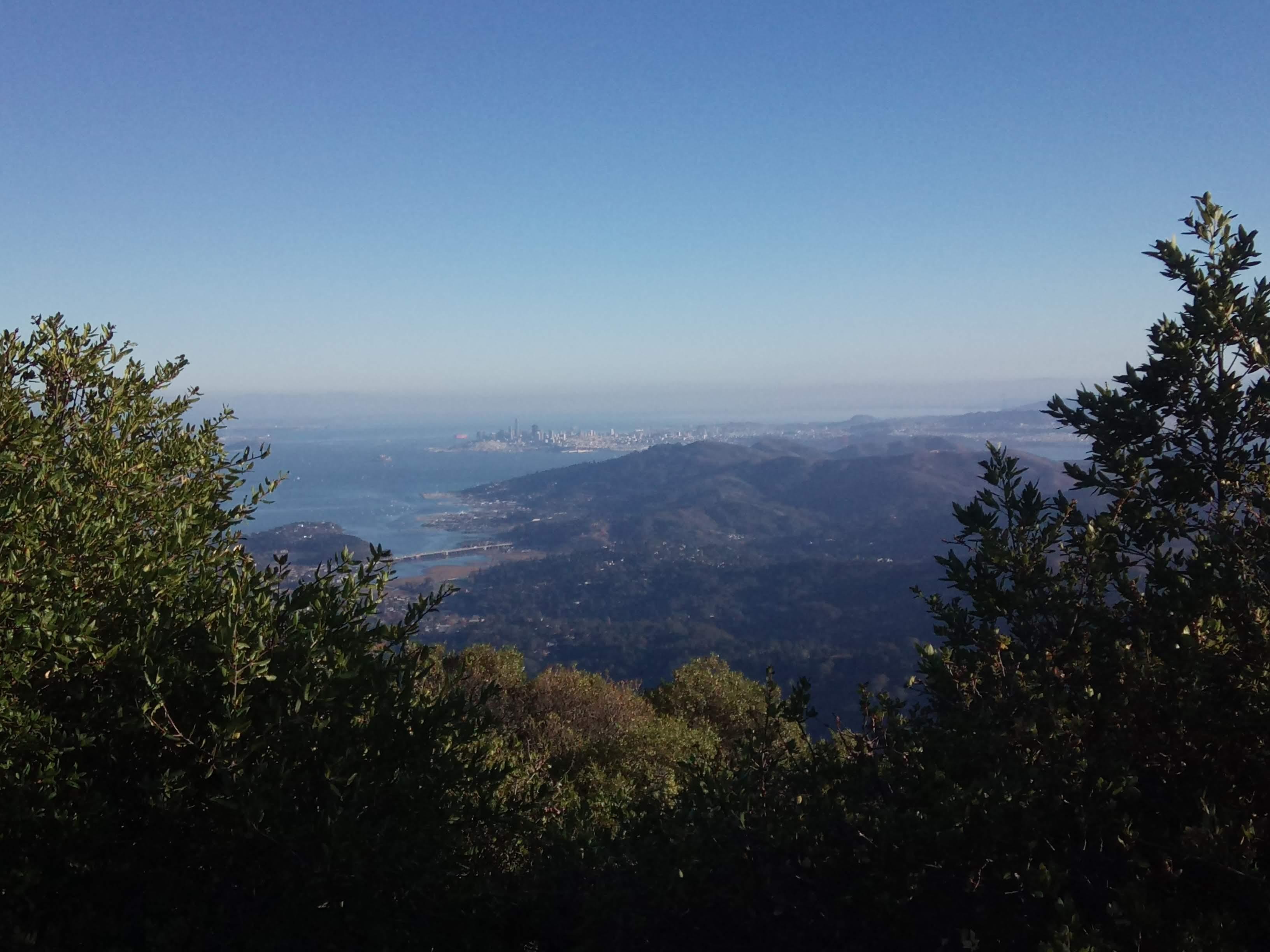
Wiew to the North from the Eastern peak Golden Gate and Pacific Ocean as seen from the Eastern peak San Francisco and the Bay Richmond bridge and Mt. Diablo The summit as seen from parking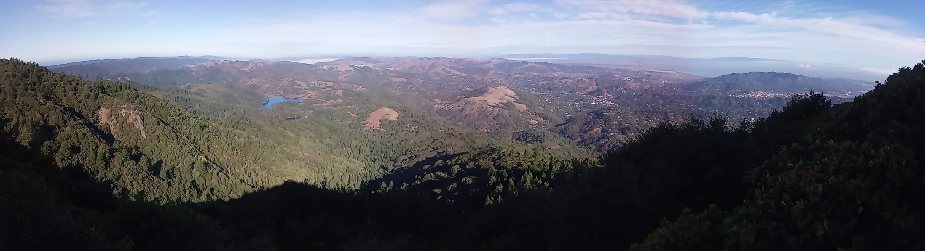
There are picnic tables in the shade near parking - perfect place for a break!
Lunch - miso soup and tea Alpine lake (I guess) More San Francisco On the trail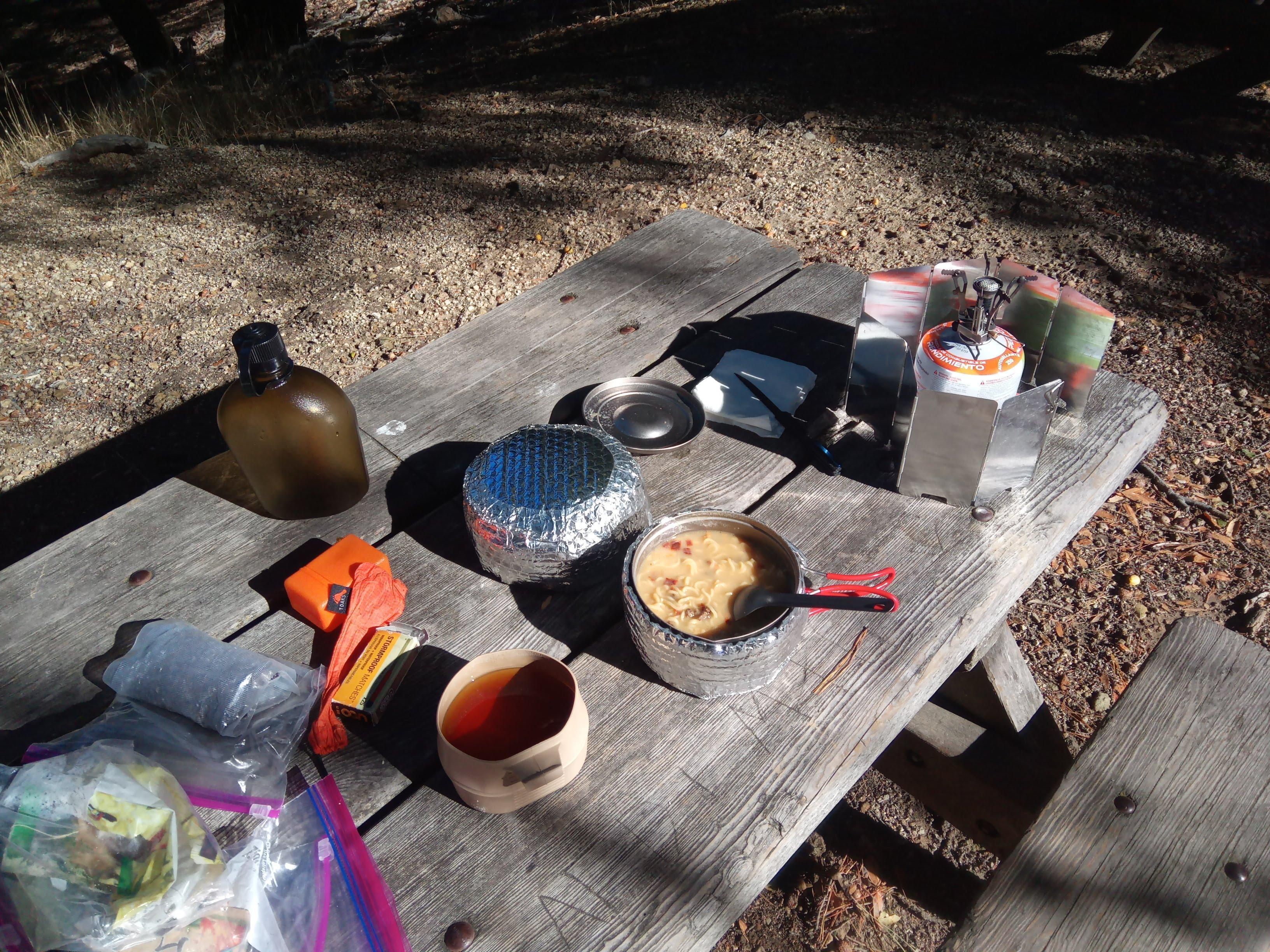
On the way back you can watch the Sun setting behind Farallon islands and see whales if the season is right. Majestic!
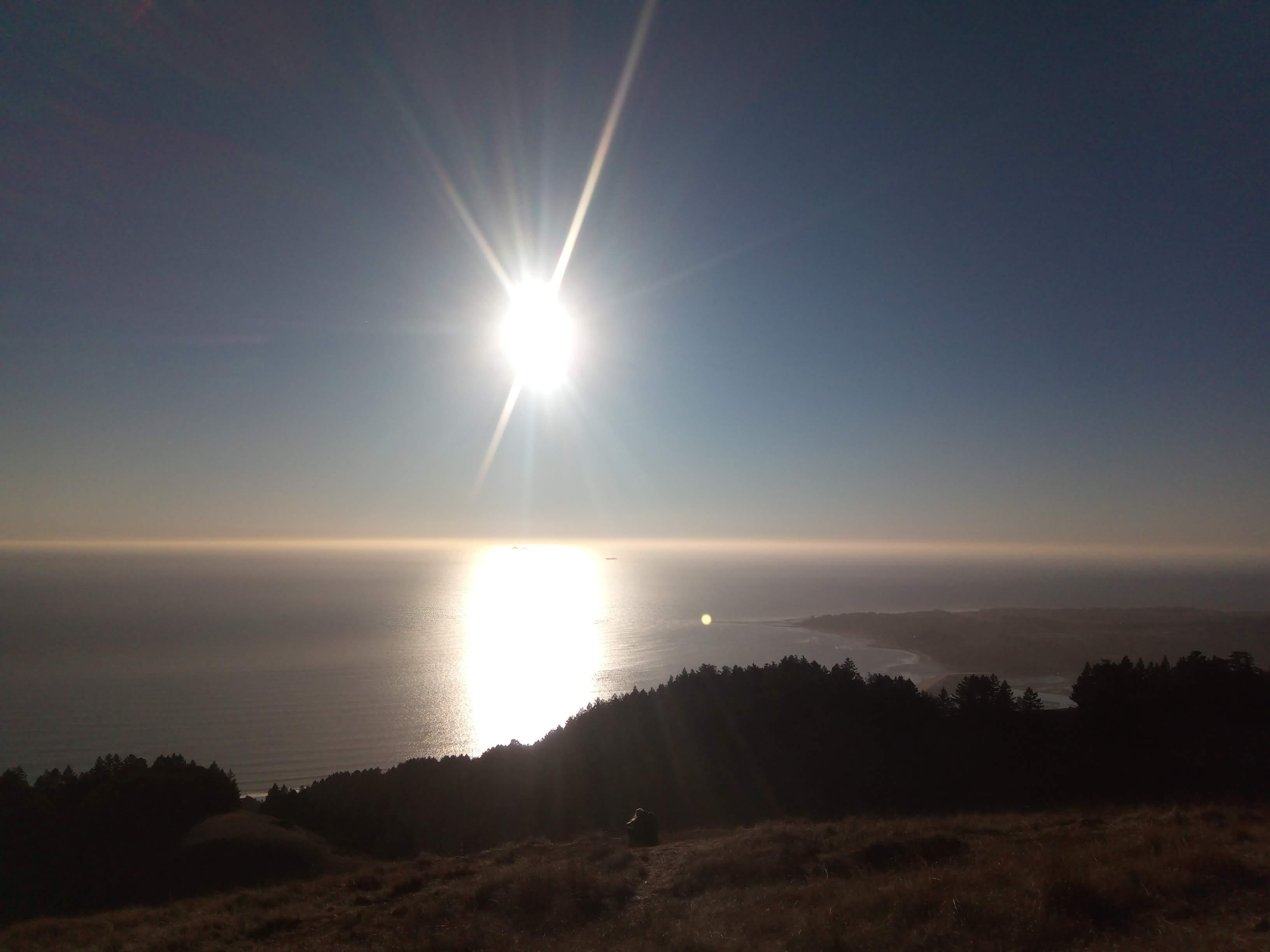
Bolinas bay and setting Sun
See you next time! 73 K0SSK out.