Mt. Konocti SOTA activation 2021-10-17
Welcome back! In my previous post I promised to test my new TR-25 in the field. Lo and behold Mount Konocti aka W6/CC-035 activation report!
I wanted to provide chasers with something juicier than one point summits around the Bay Area but at the same time didn’t want to go all in with a new transceiver. On top of that a friend was joining me for the hike which meant I needed to haul some additional food and water. Add a backup rig and you have yourself quite a hefty backpack.
Some trivia about the mountain and Clear Lake
As per Wikipedia article referenced above Mt. Konocti is a volcano in Lake County, California on the south shore of Clear Lake. At 4,305 feet (1,312 m), it is the second highest peak in the Clear Lake Volcanic Field. The highest one is Cobb Mountain some distance to the south.
The name “Konocti” is derived from the Pomo “kno”, mountain, and “htai”, woman.
Local people have long known that Konocti is riddled with natural caves. Although most of the natural caves collapsed or were filled in for safety in the early 20th century, persistent local belief holds that Konocti’s central magma chamber is a vast, empty vertical cavern, partly filled with Clear Lake water and connecting with the lake via an underground seep.
Clear lake is sometimes called “Bass Capital of the West”. I’m not much of a fisher myself but last time I camped at the lake I was really impressed with fish that folks from the lot adjacent to ours had.
An island-turned-hill unfortunately was the scene of the Bloody Island massacre. There are two markers commemorating the massacre. It is interesting to see how the perspective on the event changed over years. Interesting fact - then-capitain Nathaniel Lyon who commanded the troops involved in the killings will later be the first of Union Generals killed in combat during Civil war.
Right on the Wright summit there is a plane crash site. On January 26th 1970, Mervin and Julia “May” Enzler left Santa Rosa airport to fly home to Ukiah in their white and turquoise 1946 Navion A. The Enzlers had recently retired as owners of the “Model Bakery” in Ukiah, today operating as Schats Courthouse Bakery and Cafe.
Increasingly bad weather forced them to request navigational assistance from air traffic control in Ukiah. After a brief navigational correction with the tower, further contact ceased.
A massive air and ground search was conducted. Due to the remote location and lack of access, it wasn’t until early February that the crash debris was spotted on the side of the mountain by a local pilot.
Getting there
Just drive to the Park parking. Final couple of miles of the road are unpaved but graded well so you won’t have much trouble unless you drive, like, Corvette. I am not sure how busy it gets during peak season but do note the parking is fairly small. This activation happened on 17th of October and there was rain in the weather forecast for the afternoon, the lot was empty. Here is the trail on the AllTrails.
I didn’t see any means to pay entrance fees so if they are required - well, oops.
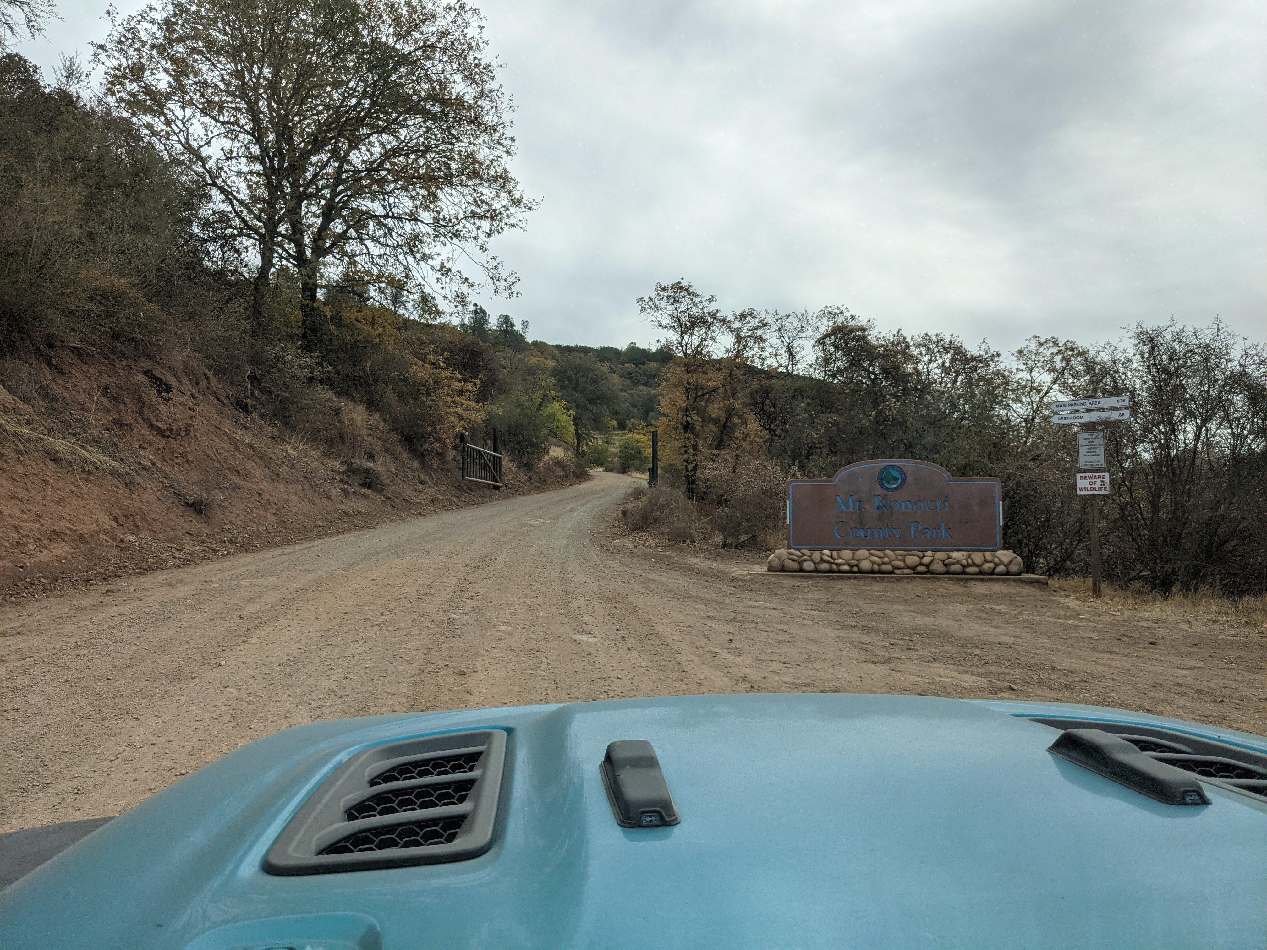
Park entrance gate, note - road is unpaved
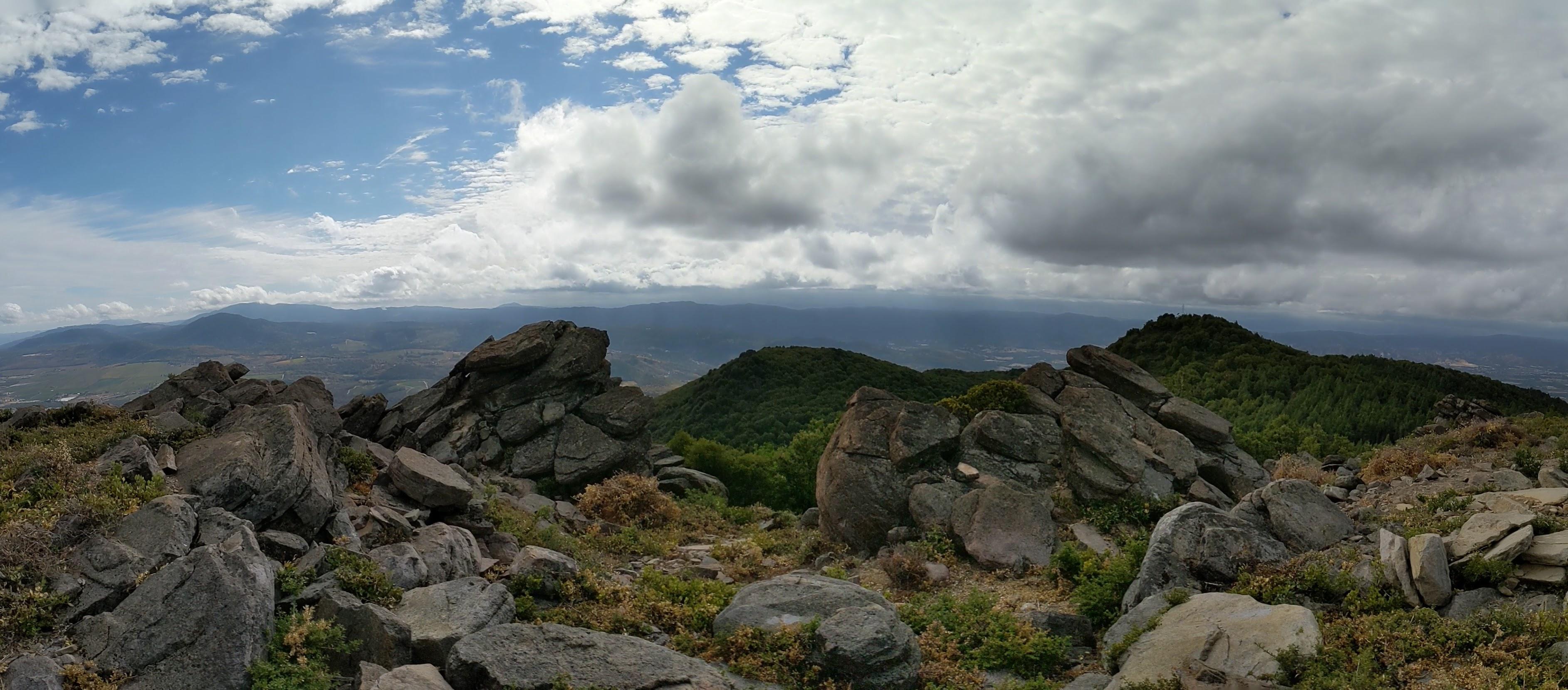
If you have time I recommend hiking to Buckingham Peak as Clear Lake vistas should be better from this point than from the highest Wright peak - I didn’t have time to get there because of rain.
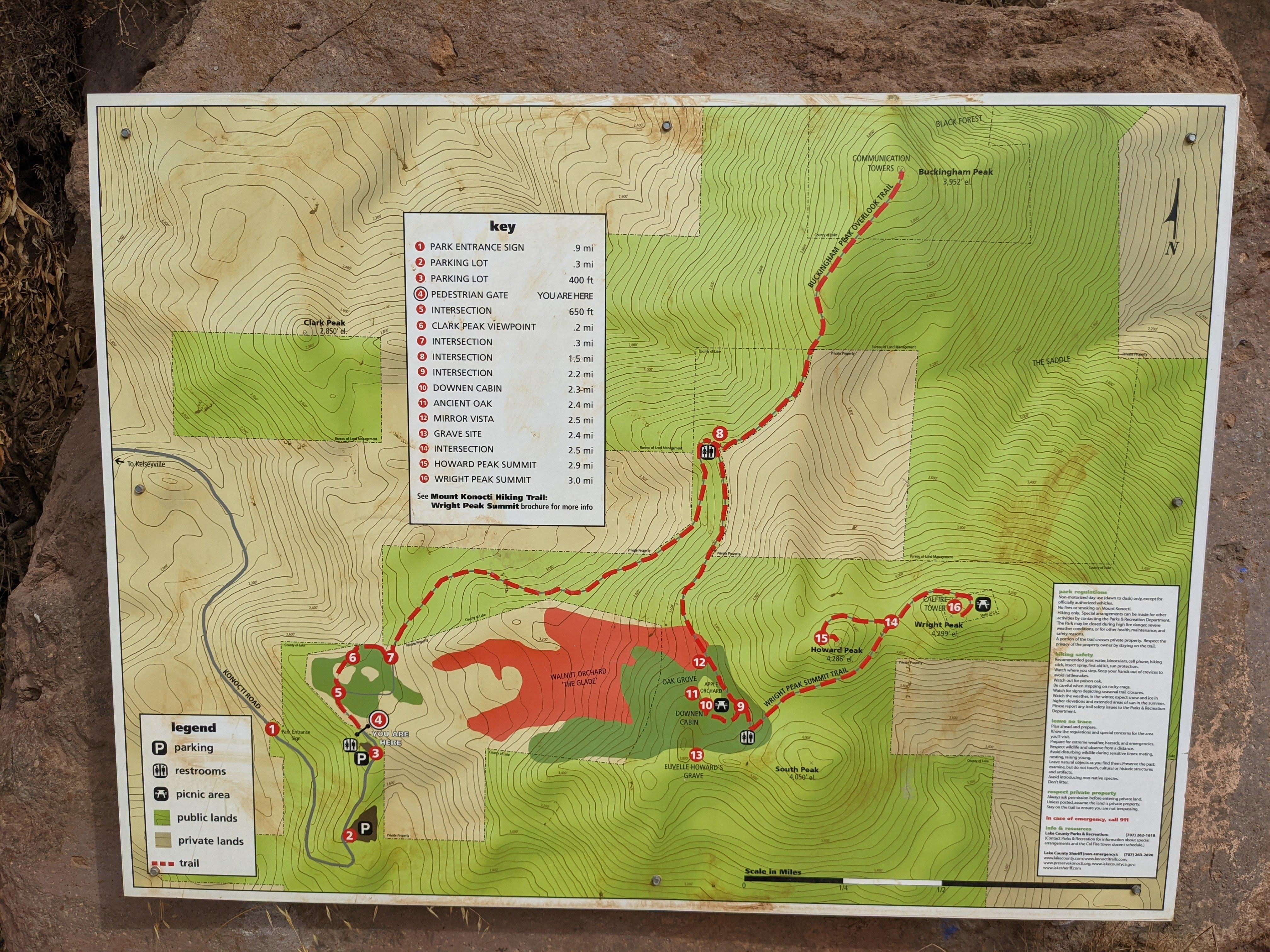
Mt. Konocti county park map
Trail crosses private propery - Mt. Konocti County Park opened in 2011 and before that it was all private land. Respect the boundaries and stay on the trail.
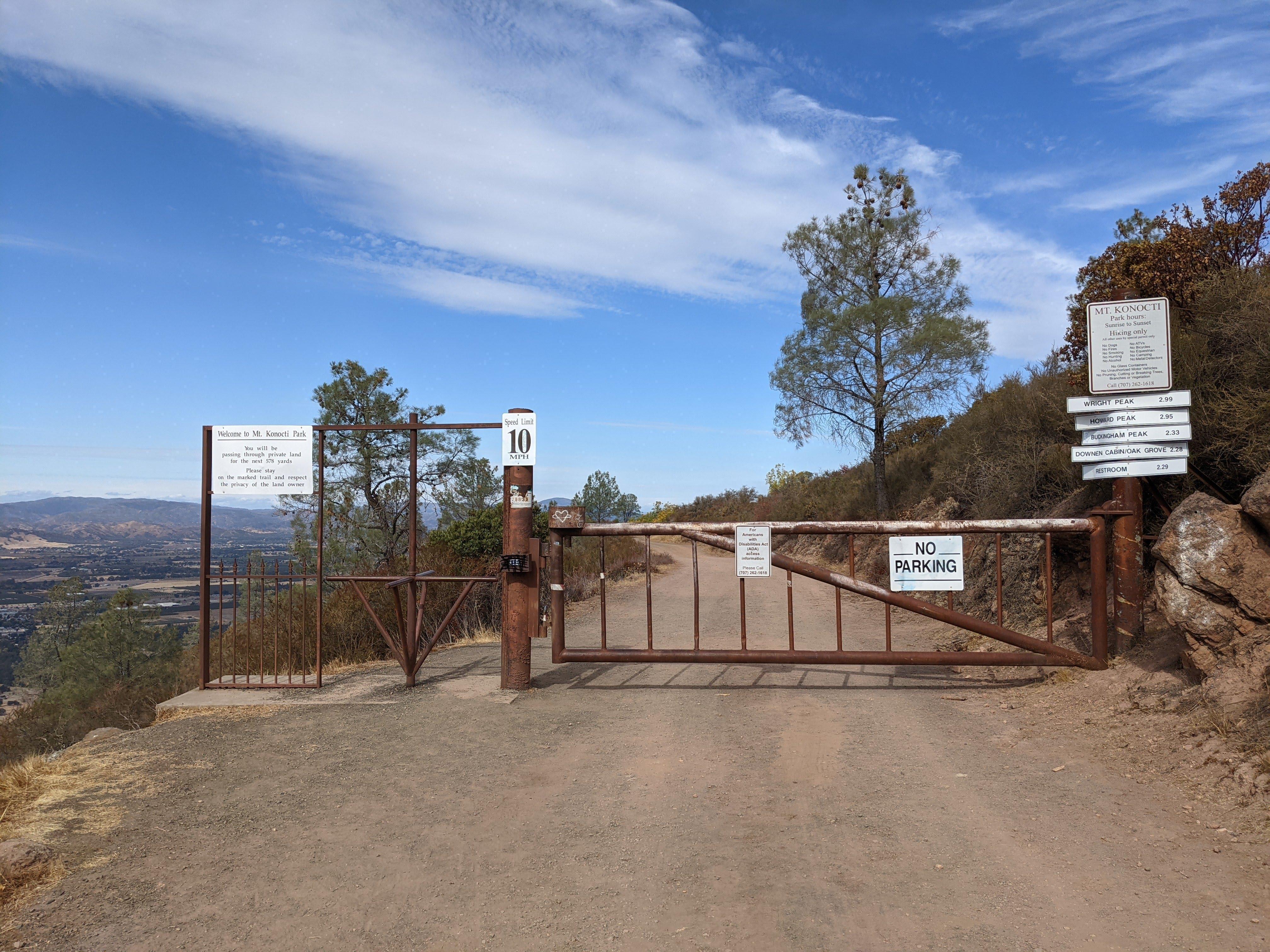
Trail gate
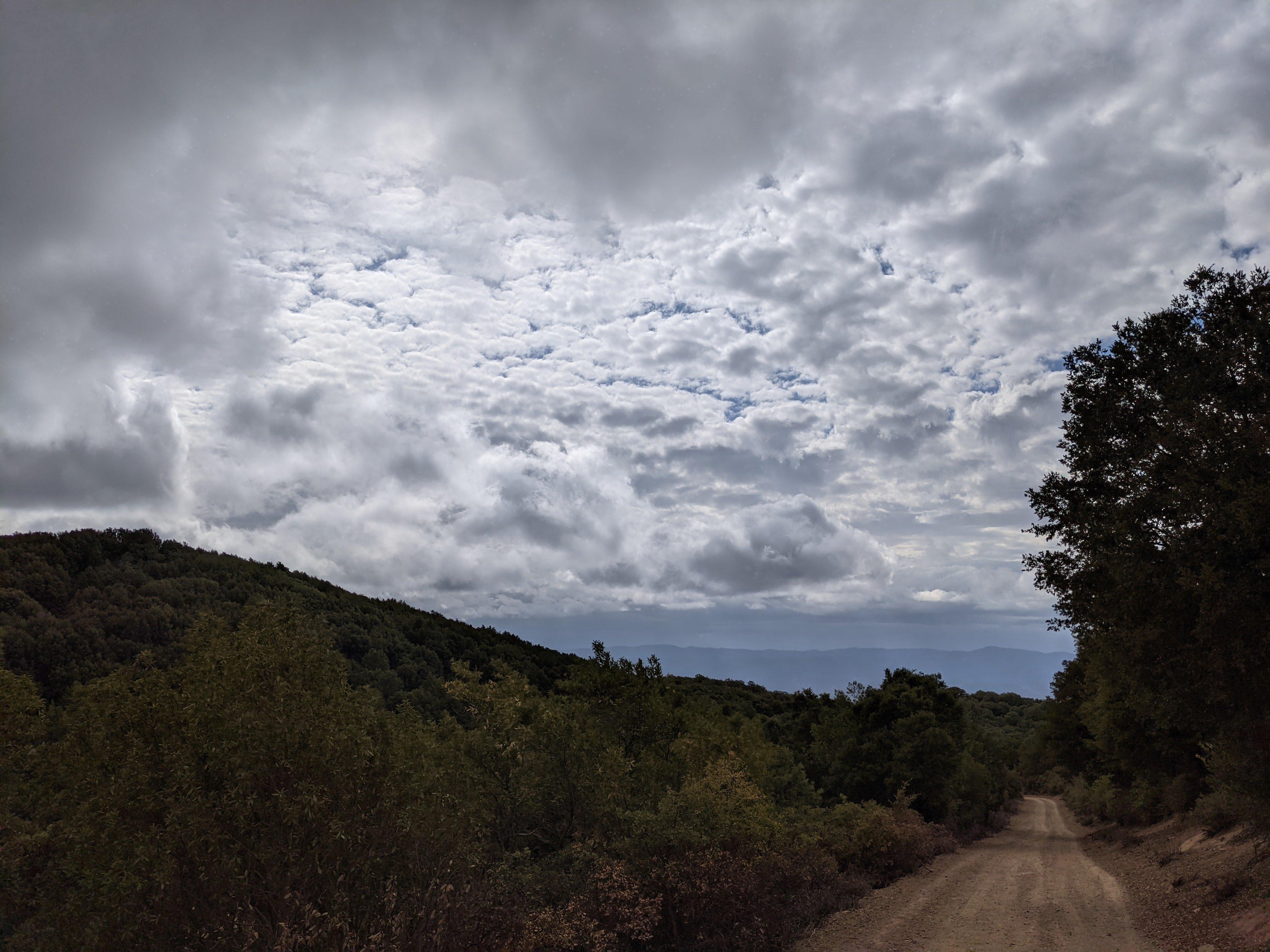
You hike a maintenance road so the trail is never steep but it is a bit of a grind especially with a heavy backpack. There are concrete benches approximately every half a mile but I didn’t have time to chill.
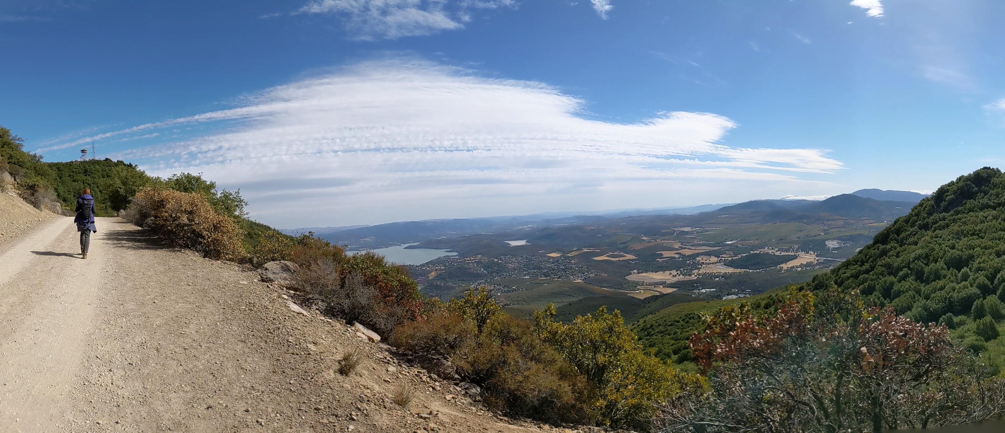
Just below the summit - Clear Lake and Cobb mountain view
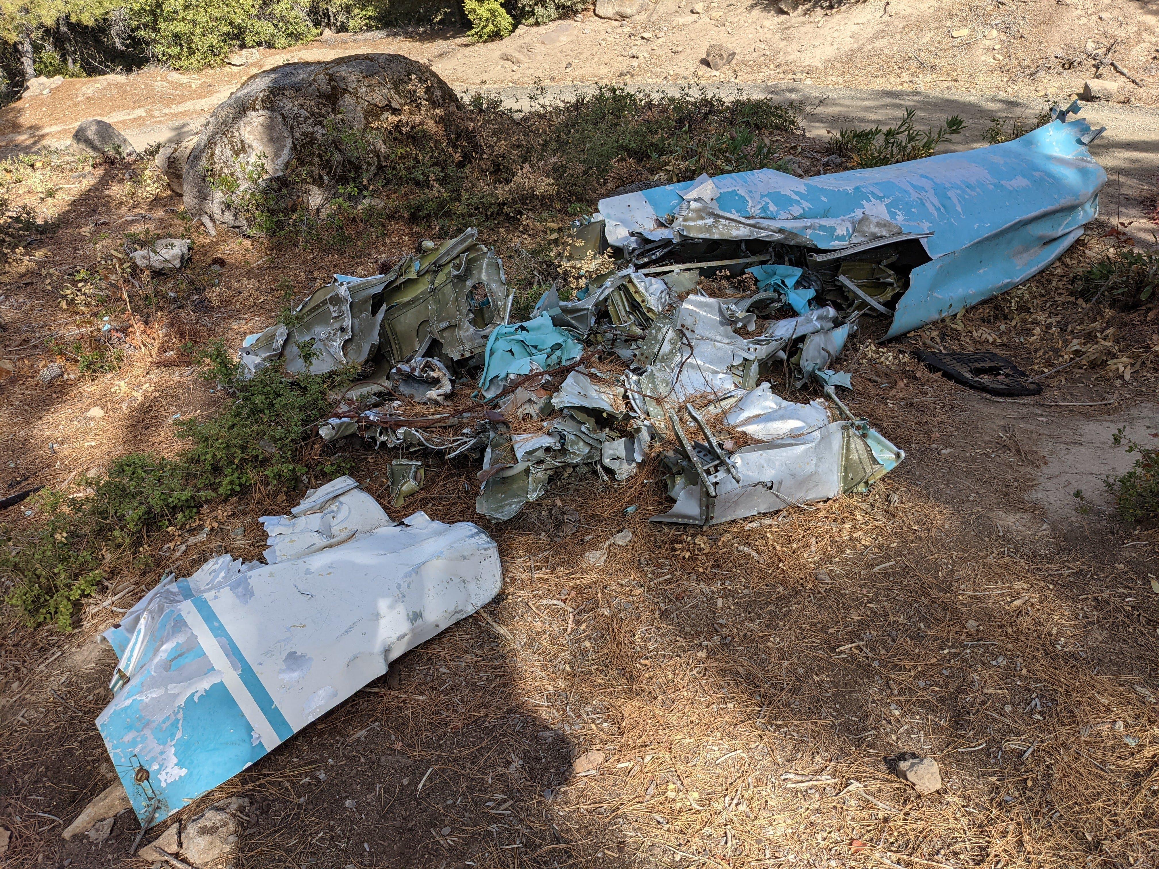
Right below the summit there are remains of the plane and the commemorative plaque.
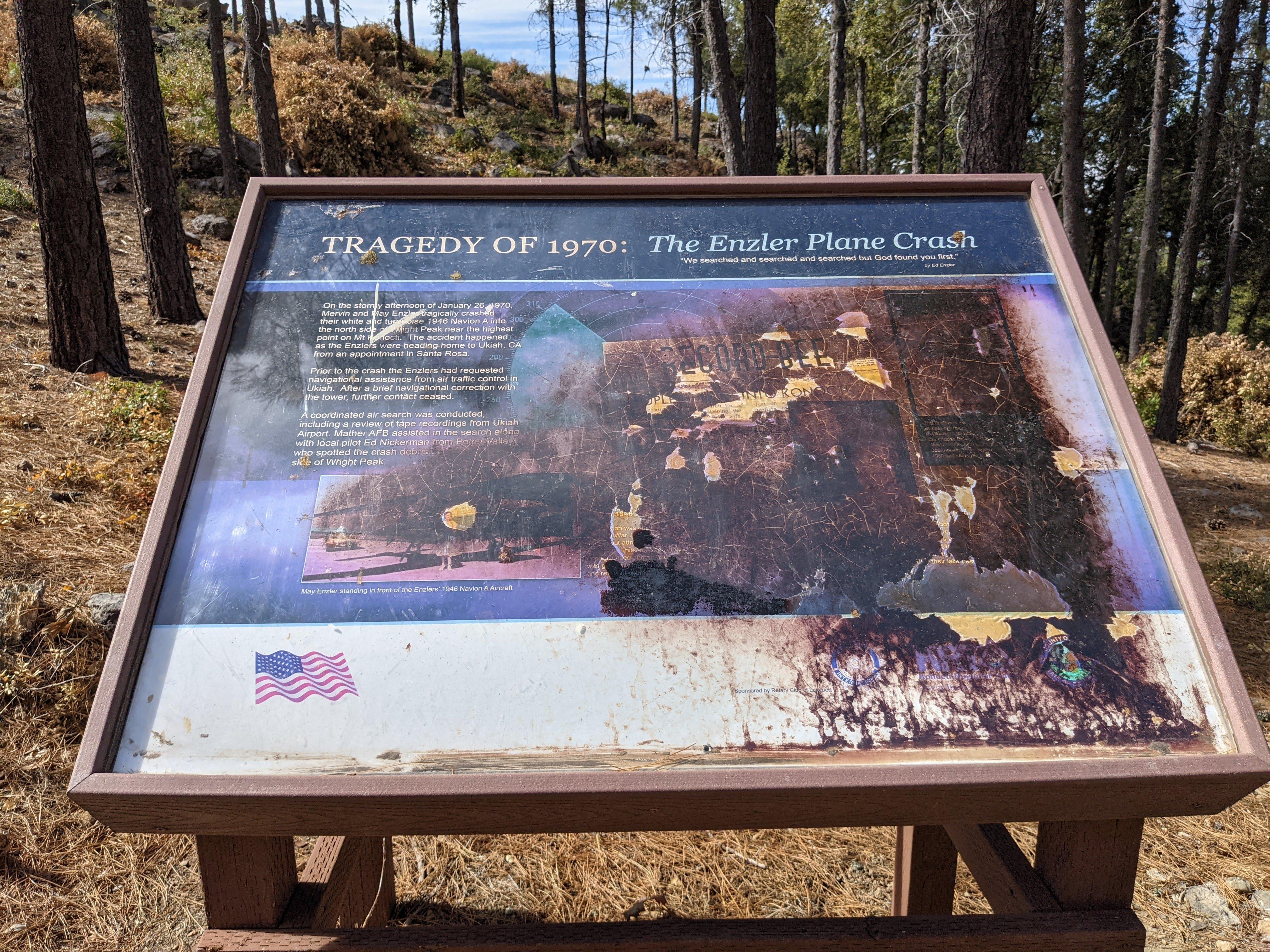
Enzler plane crash site plaque
Unfortunately the plaque at the site is severely damaged but I was able to find a picture here.
Enzler plane crash site plaque as it was Plane crash site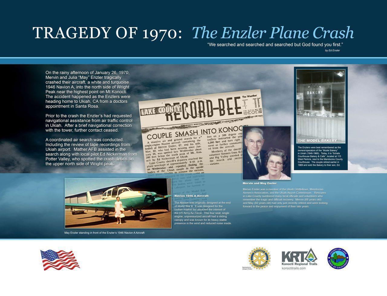
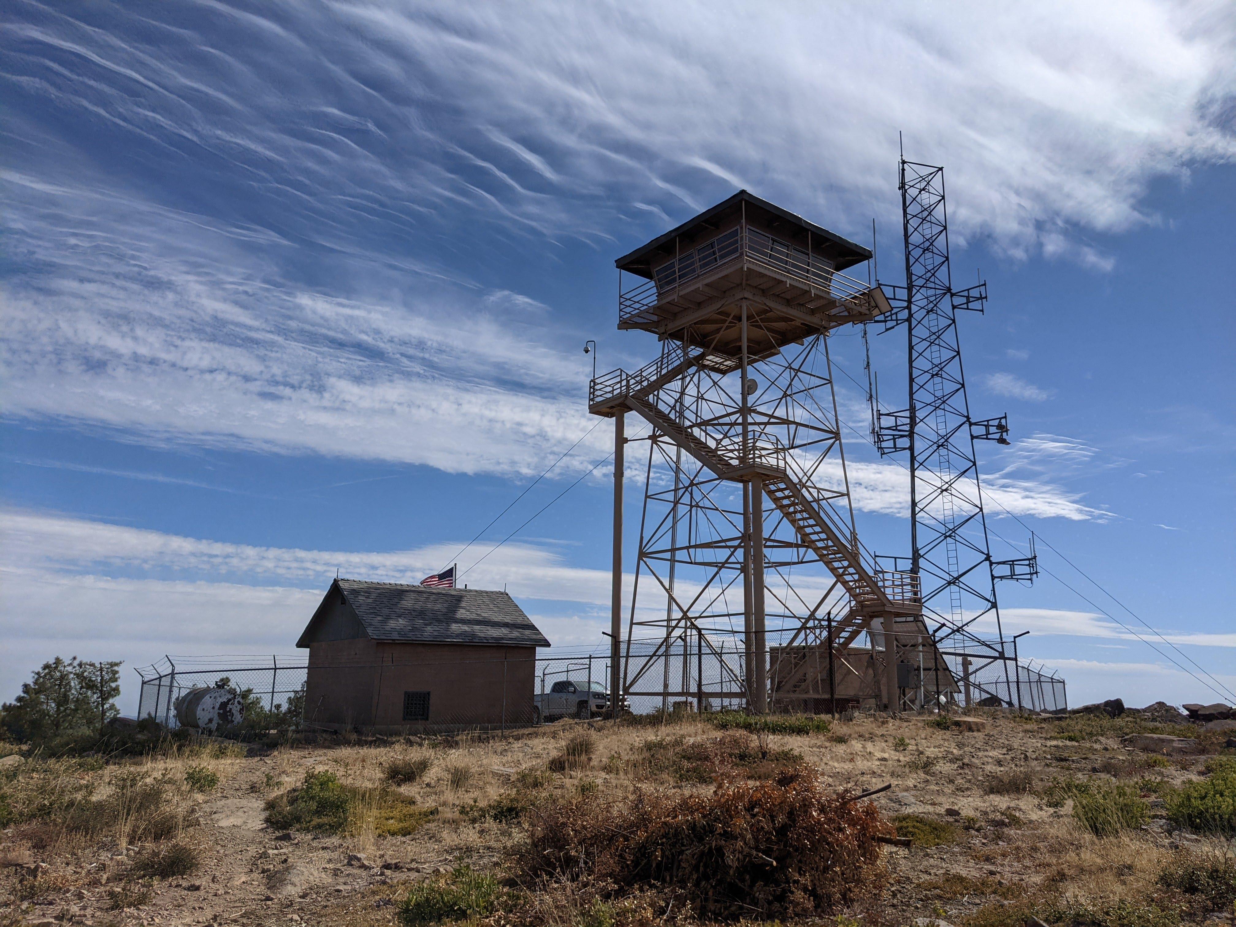
On the top there is a fire lookout and a couple of tables you can use as mast anchoring points.
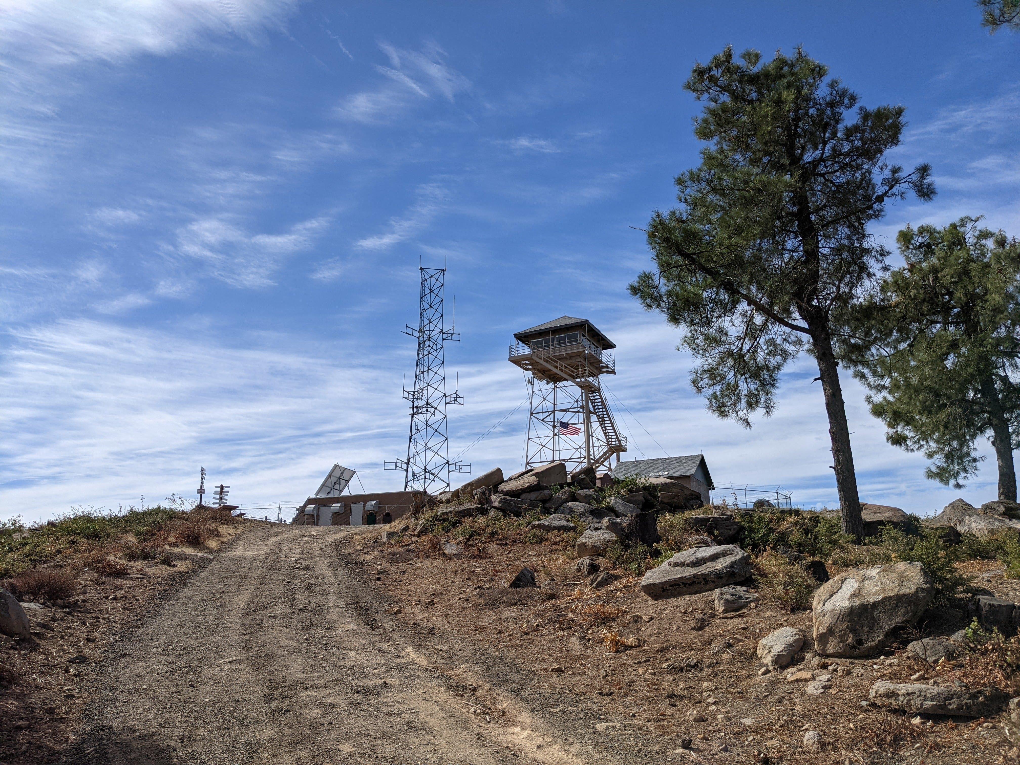
CalFire lookout
Mt. Konocti SOTA activation
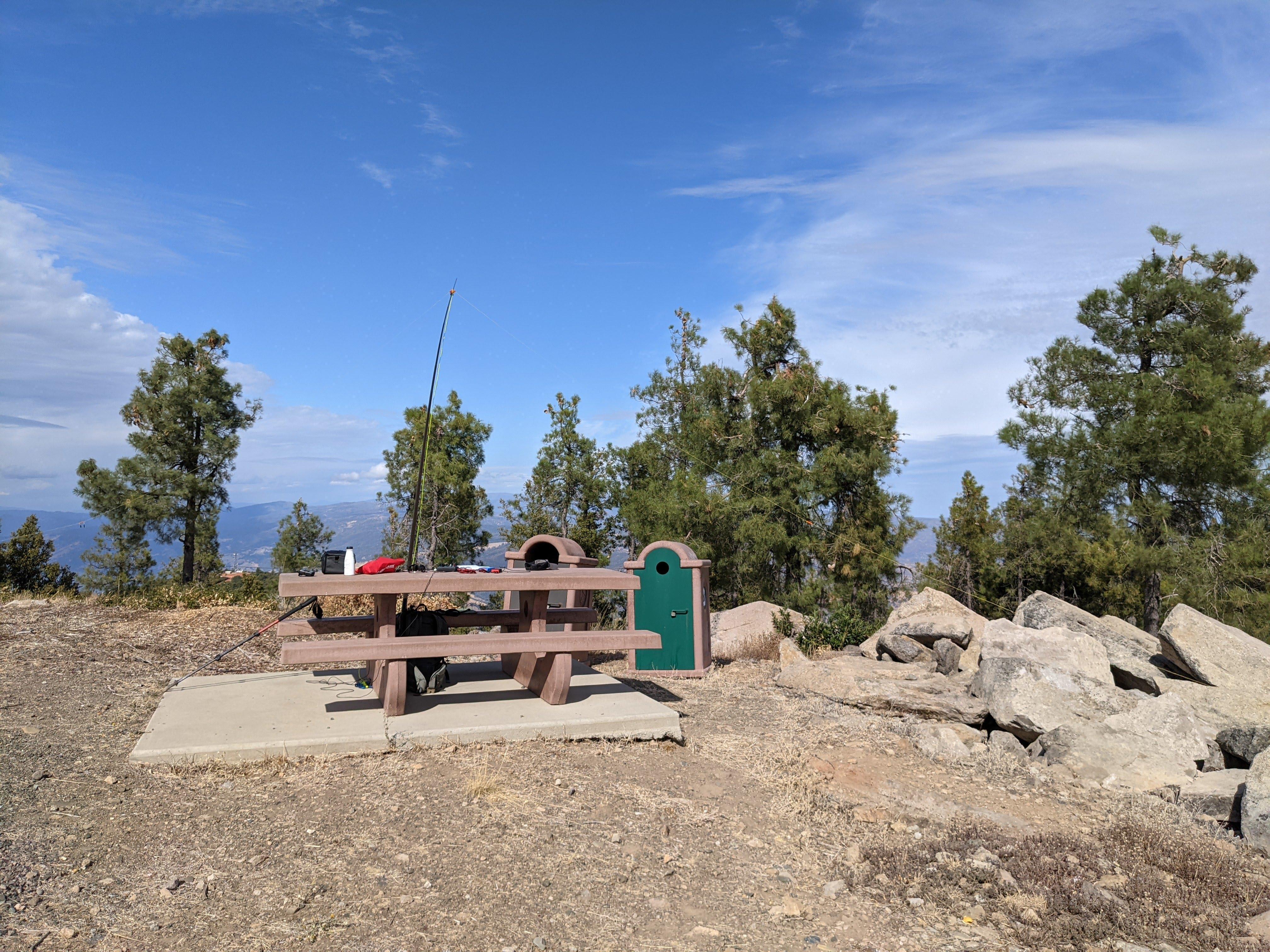
Dipole deployed
To all the chasers - thanks for bearing with me, I had quite a bit of a fight with the paddle cable. As I worked Herschel K0HK from Kansas paddle “dah” button went mute before I could send the RST report. Brief paddle examination didn’t show anything unusual so I decided to swap cables from the paddle to the keyer and from the keyer to the transceiver just in case some contacts oxidized or whatnot. Paddle gave couple of “dahs” and went mute again - one of the wires was broken and paddle worked properly only when the cable was twisted in a particular way. I twisted it back and tried not to upset the setup until the end of the session.
The moral is - your paddle for SOTA should connect to the cable via the jack so if something happens to the cable it is easy to replace. You also need a replacement cable itself in your kit - which I didn’t have because my replacement cable was already employed connecting the external keyer to the transceiver - make sure you have needed backup supplies after changing your loadout.
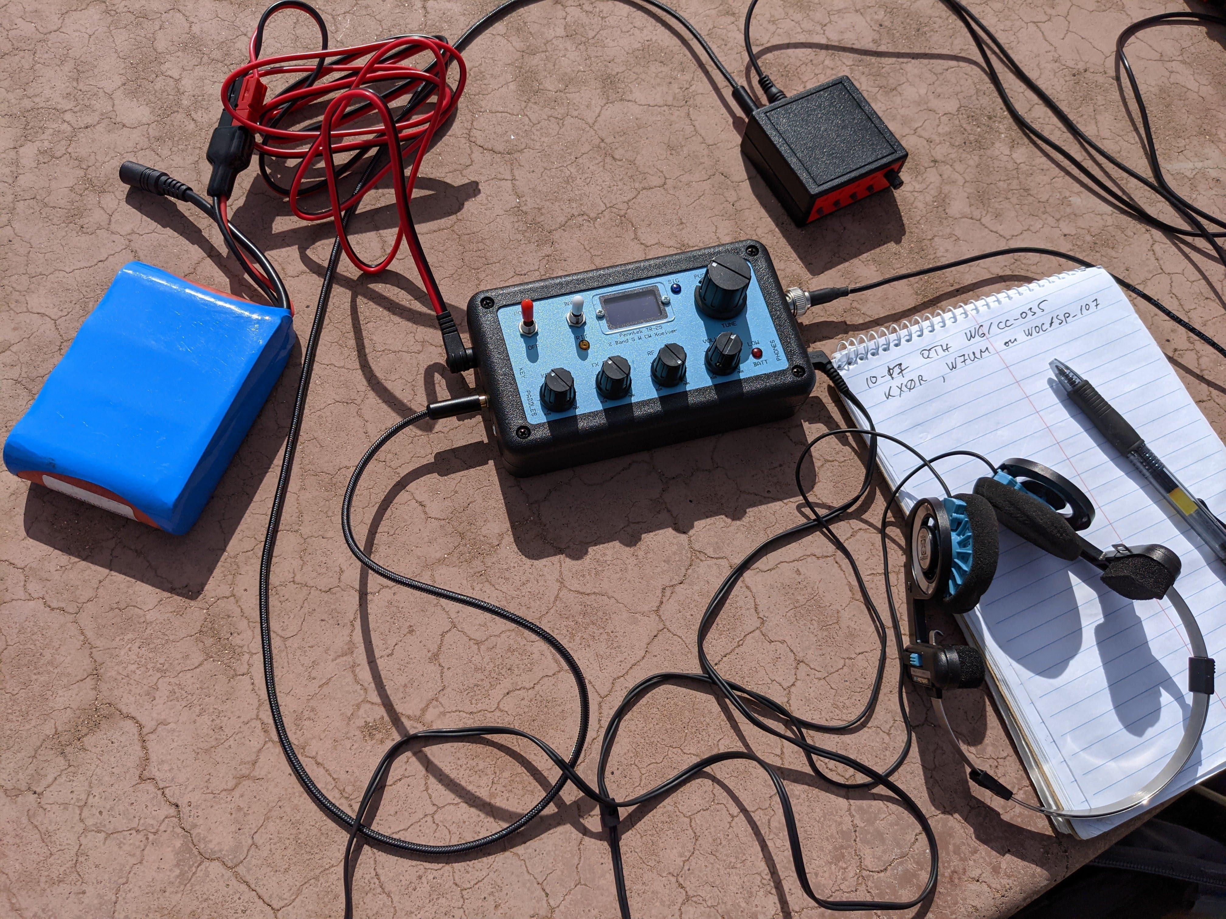
Ready to start the activation, display is a bit hard to read
I saw KX0R and W7UM’s alert posted to Sotawatch - they planned to be on Threemile Mountain aka W0C/SP-107 in Colorado around the time I planned my activation. Reaching them would be a good test for the transceiver - it is one thing to contact people semi- randomly when most of them might just be close by and the other thing is making two separate summit-to-summit contacts with folks on the same summit ~1400 miles away. I first reached Mark W7UM on 14.063 and then tuned to 14.062 where George KX0R eventually replied to my CQs.
Stations worked from the summit
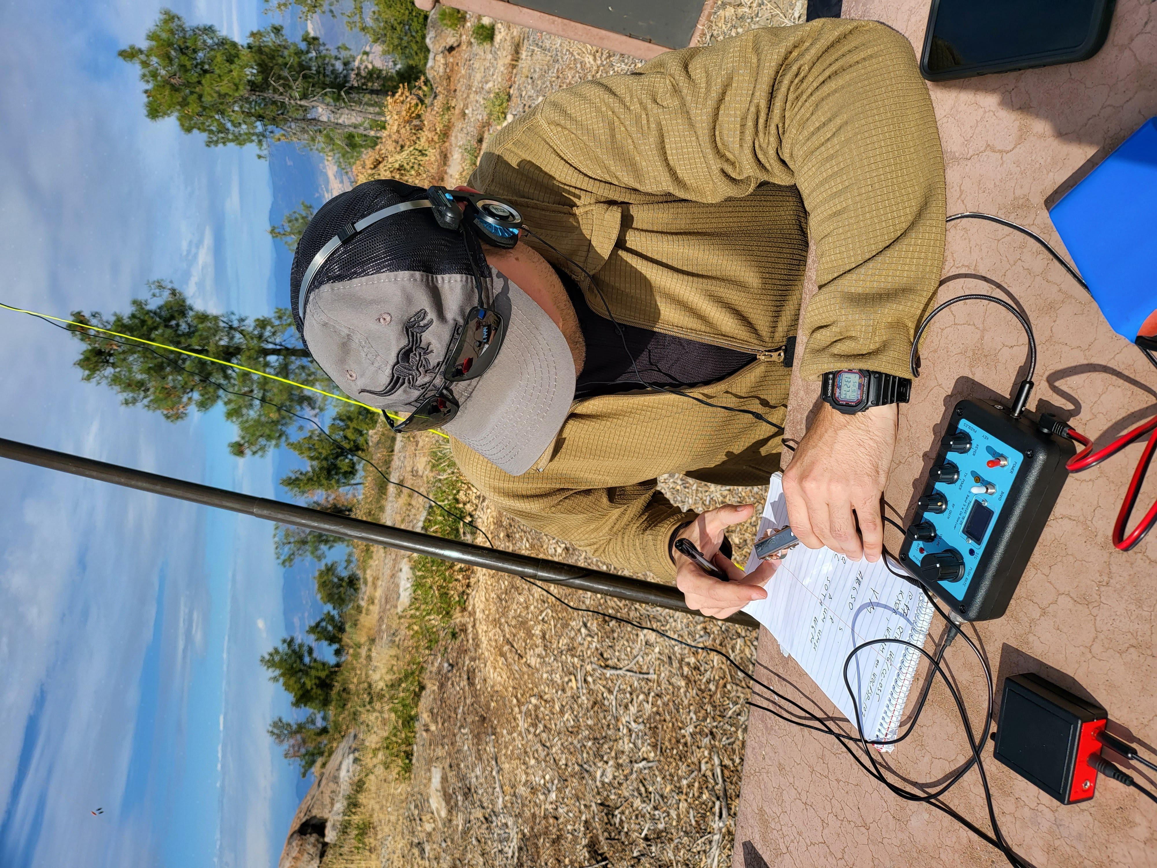
Truly yours working Mark W7UM from Threemile Mountain in Colorado
| Time UTC | Call sign | RST sent | RST received | Frequency | Mode | Maidenhead grid |
|---|---|---|---|---|---|---|
| 21:15 | W7UM | 559 | 449 | 14.063 | CW | DM79 |
| 21:17 | KD0YOB | 559 | 559 | 14.062 | CW | EN43 |
| 21:18 | AB6SO | 559 | 559 | 14.062 | CW | CM99 |
| 21:19 | W6BWZ | 559 | 549 | 14.062 | CW | CM98 |
| 21:19 | K3TCU | 559 | 599 | 14.062 | CW | FN01 |
| 21:20 | W0MNA | 559 | 559 | 14.062 | CW | EM29 |
| 21:20 | K0HK | 559 | 559 | 14.062 | CW | EM29 |
| 21:25 | KX0R | 559 | 589 | 14.062 | CW | DM79 |
| 21:26 | WB0CFF | 559 | 559 | 14.062 | CW | EN34 |
| 21:30 | W6IYS | 559 | 229 | 14.062 | CW | CM88 |
| 21:35 | WW7D | 559 | 539 | 14.062 | CW | CN87 |
| 21:35 | WU4R | 559 | 559 | 14.062 | CW | EM66 |
| 21:40 | N4MJ | 559 | 229 | 14.062 | CW | EM56 |
| 21:50 | W4KRN | 559 | 339 | 14.062 | CW | FM18 |
| 21:55 | WA2USA | 559 | 559 | 14.062 | CW | EM67 |
| 22:10 | NU7Y | 559 | 559 | 14.062 | CW | DM42 |
| 22:15 | K9PM | 559 | 579 | 14.062 | CW | ???? |
Time to get back
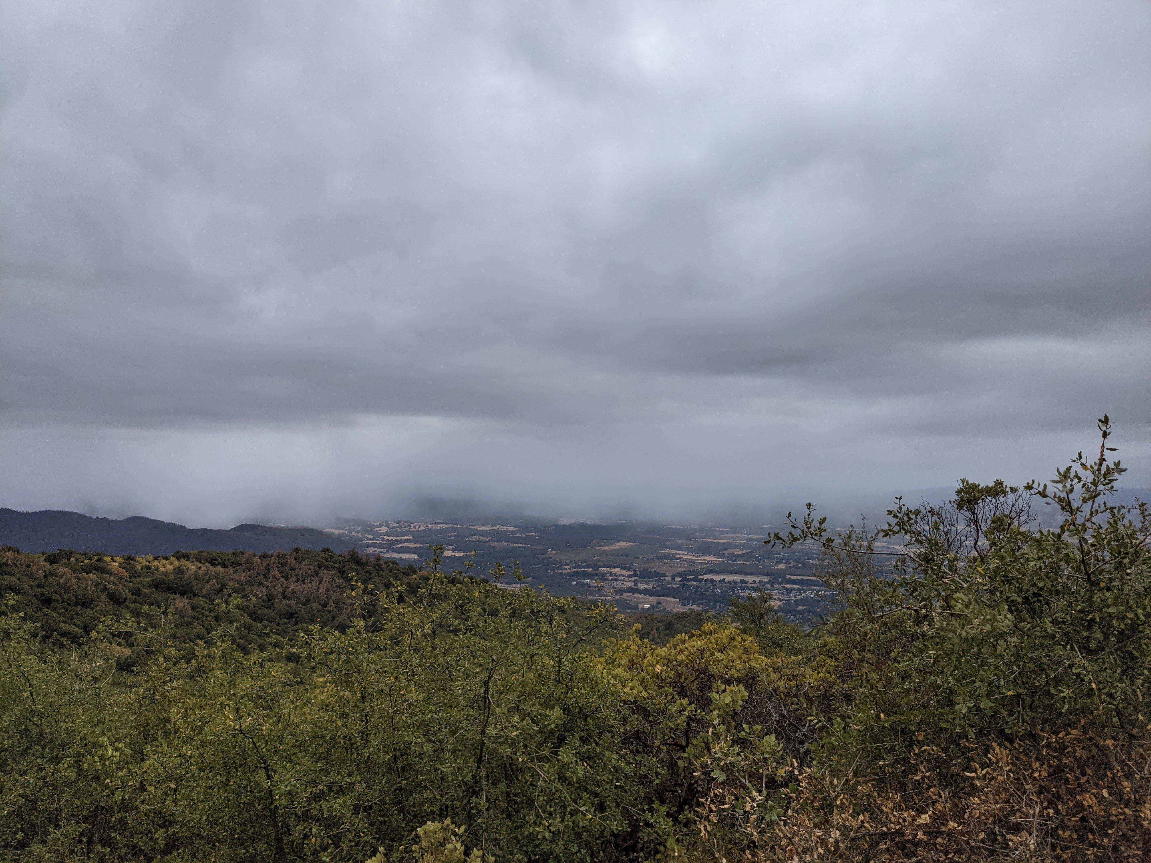
Weather was changing very fast - it was partially cloudy on the way up, cleared by the time we reached the summit and a dense cloud front was closing in an hour after that.
The cloud front moves fast - time to pack! Some weather is coming Last patches of blue Rain is closing in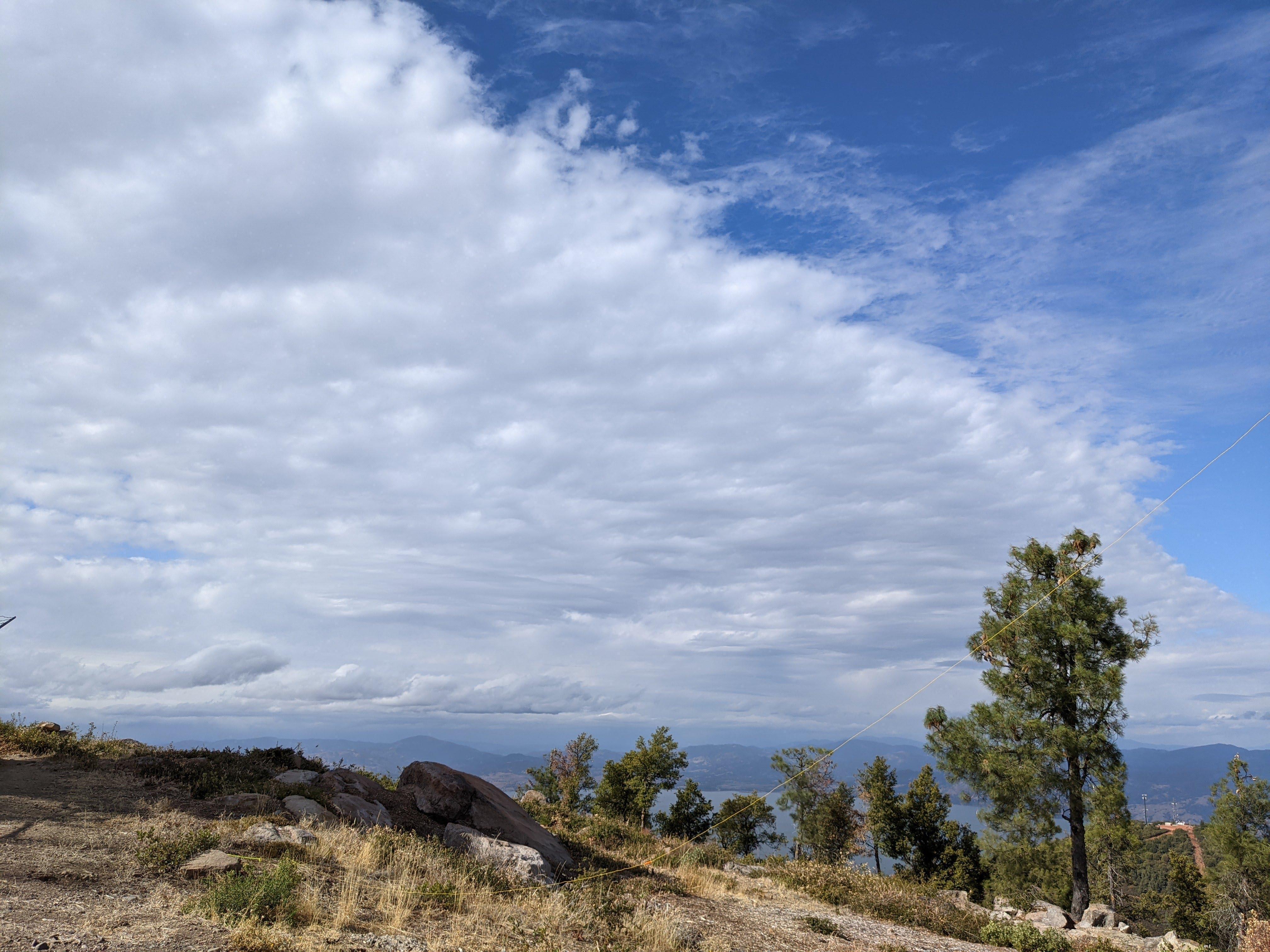
Managed to get back to the car right before the rain caught on.
TR-25 in the field - my impressions
What I like
- I’ve made 17 contacts from Mt. Konocti including two summit-to-summit contacts to Colorado. This is the most contacts I’ve made ever activating a summit (this is my twentieth activation). And I’m certain I’d make more if not for a broken cable and a storm on the horizon.
- Impressed with the rig sensitivity - made contacts with folks in Indiana, Tennessee, Virginia and heard them well.
- I really like AGC - distant stations can be heard and your eardrums don’t blow up when someone close by checks in.
- Filters are adequate for a SOTA rig - had no QRM issues.
Minor things I need to mention
- Bright sun does make it hard to read the display - not a big deal for me as I don’t do much tuning on a summit anyway.
- As I have mentioned in my previous post you have to disassemble the enclosure to adjust the sidetone volume. It is quite a chore because the volume good for a quiet shack might be too low for a windy summit.
So my verdict still stands - TR-25 is probably the best bang for your buck CW-only transceiver / SOTA rig on the market as of now (end of 2021). Thanks again John, I hope your creation gets the attention it deserves from the ham community.
See you folks next time, 73, K0SSK out.