Clouds Rest SOTA activation 2020-09-12
Welcome back friends! It’s been a while since the last blog post - I was busy (and lazy!) Time to clean the backlog up a bit and write about Clouds Rest aka W6/SS-257 activation.
The Bay Area was extremely smoky in the middle of September and I hoped I could get some cleaner air higher in Eastern Sierra. Right before my planned trip all national forests had been closed due to fires. Sequoia National park started to burn as well and winds pushed smoke toward Yosemite. I decided to go anyway - if there is no escape from ash I’ll breathe ash with a view at least.
Due to national forest closures my initial plan - to spend Friday night in Walker, enter Yosemite area from the East, activate Tioga Peak on Saturday 12th and Clouds Rest on Sunday 13th had to be scaled down: Tioga Peak is located in Inyo national forest and was not accessible at the moment.
Getting there
I was trying to combine SOTA activation with a decent hike. It’s a 13 mile out and back trail. During the peak season in summer, when there are no attendance limits in Yosemite parking near Tenaya lake can be pretty crowded. I’d recommend spending a night in Lee Vining and starting early before people driving from the west get there. This time parking was not a problem - a lot of folks cancelled trips due to the smog.
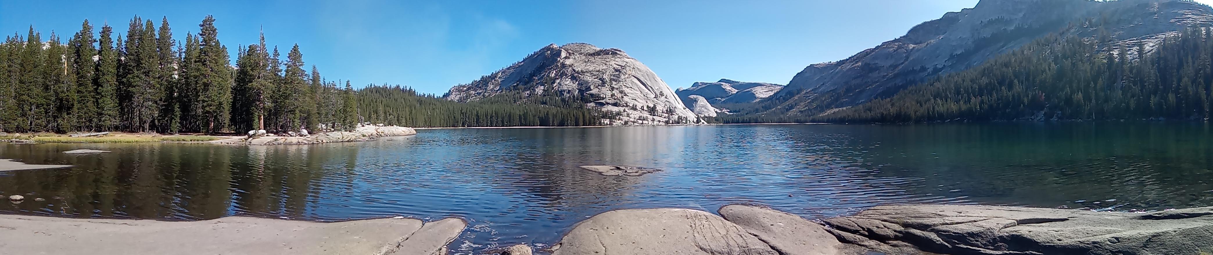
Tenaya lake and Pywiack Dome
Morning was pretty clear and sunny. Note there are multiple parkings near the Tenaya lake, the trailhead is here. I always end up parking closer to the lake and end up wading through bushes to get to the trail.
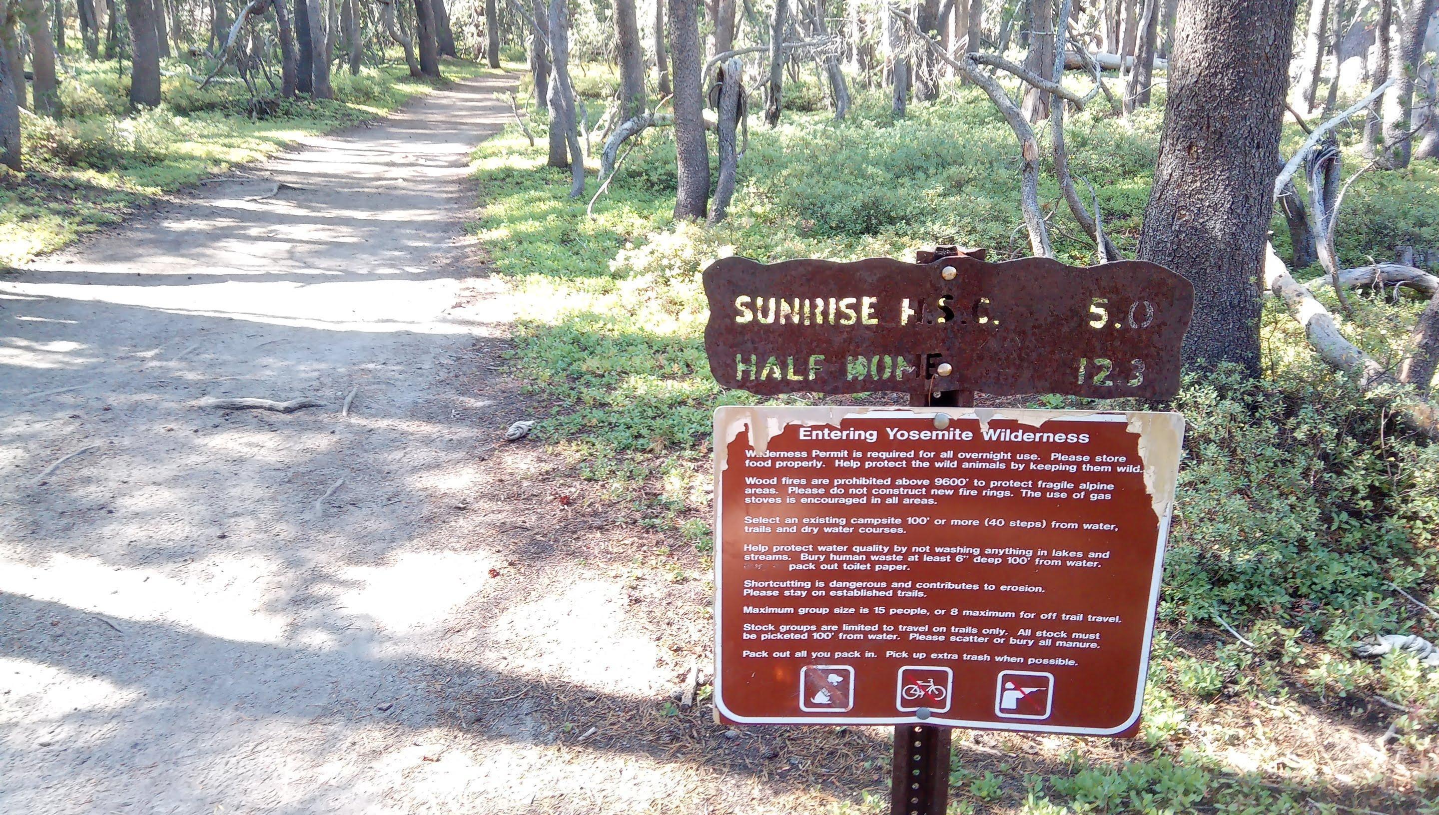
Entering Yosemite blah-blah-blah. Follow the rules
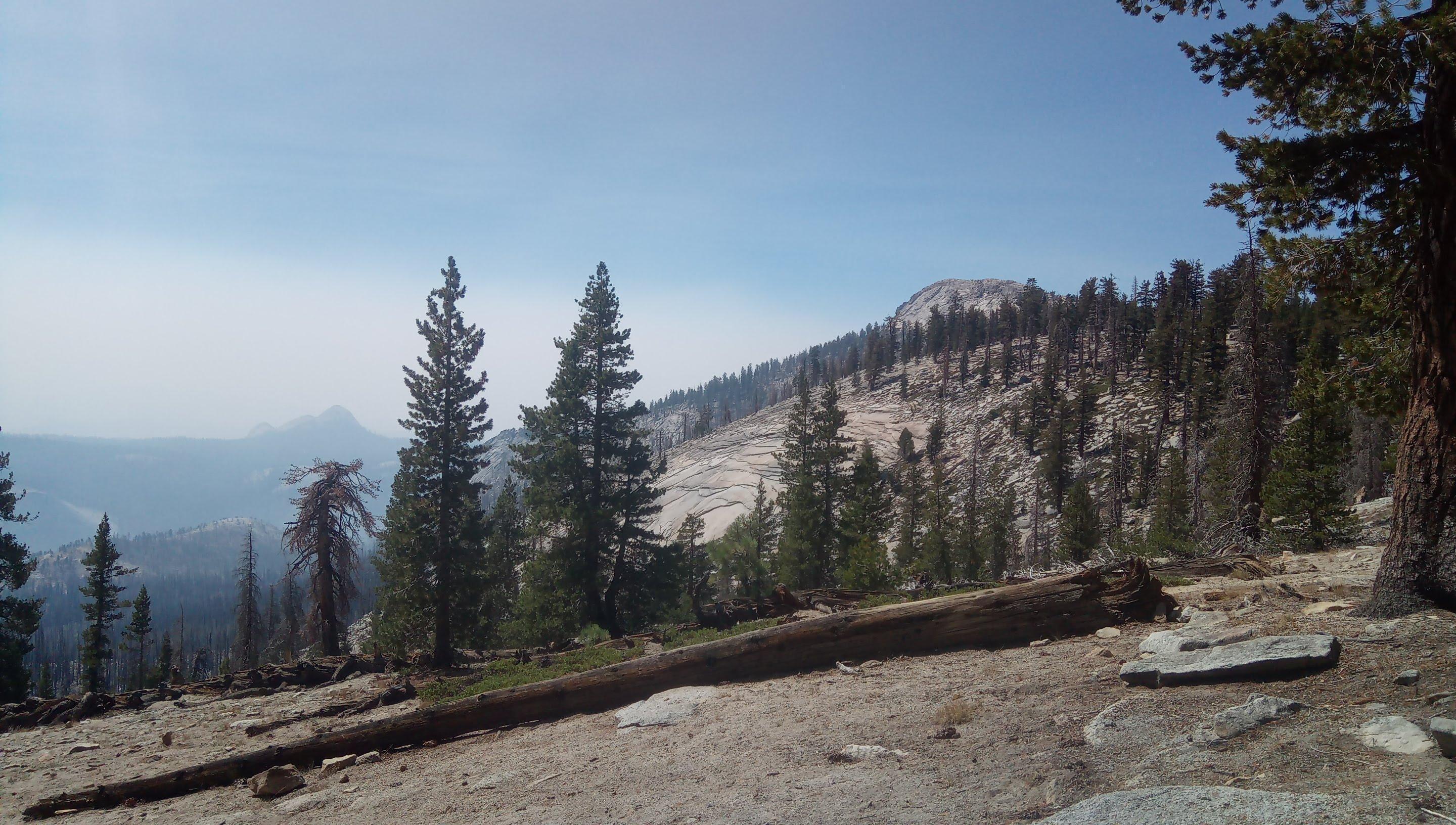
The trail is well beaten and fairly easy to follow. You climb up a ridge first, there is a trail junction on the top, follow directions to Clouds Rest.
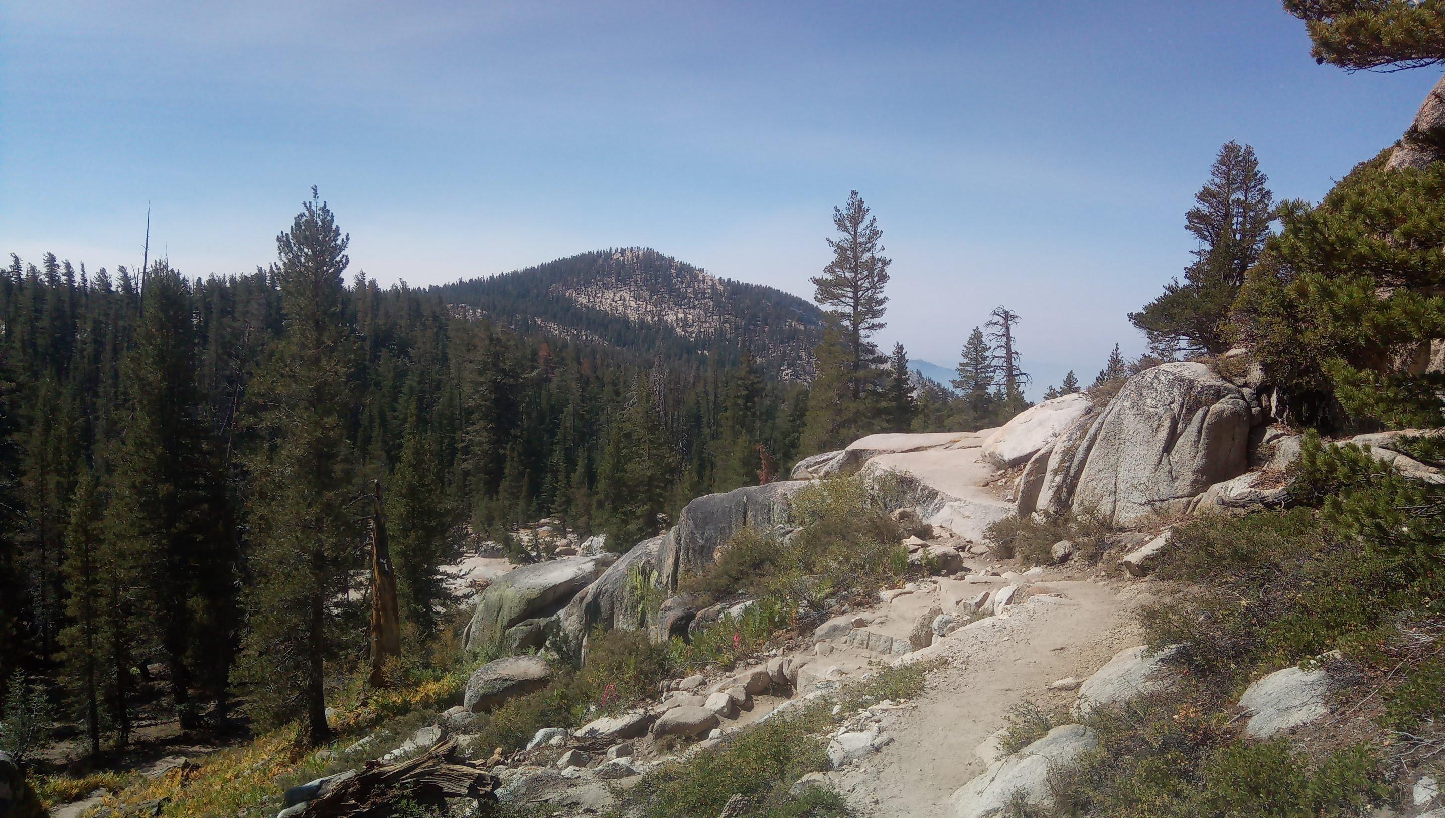
Near a junction. Farther hump obscures Clouds Rest
You are then crossing a valley and climbing up again.
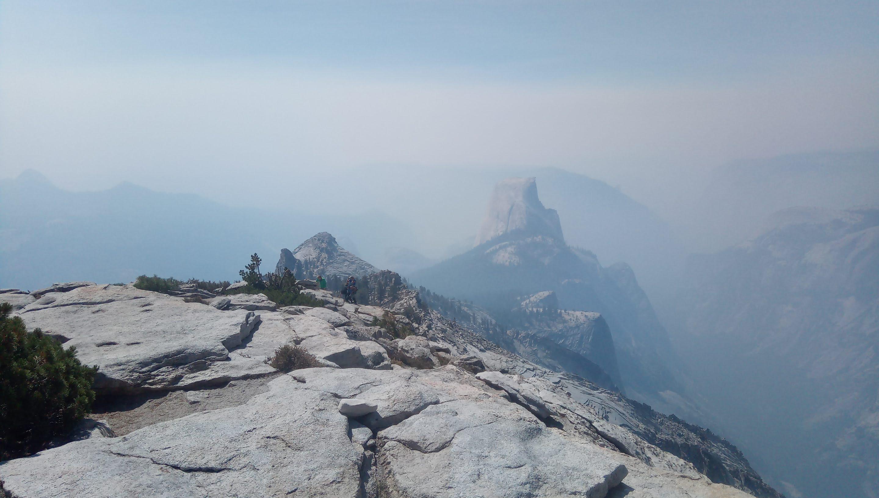
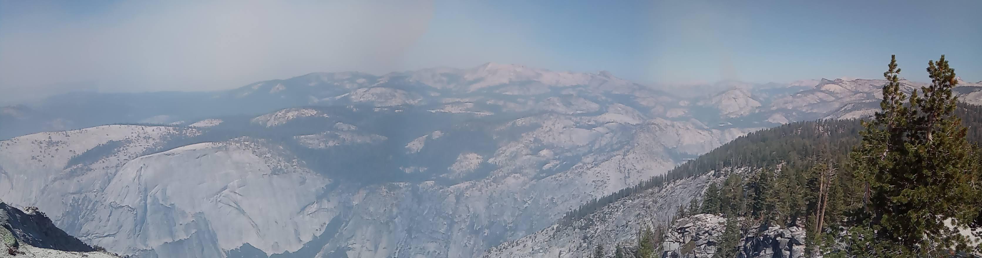
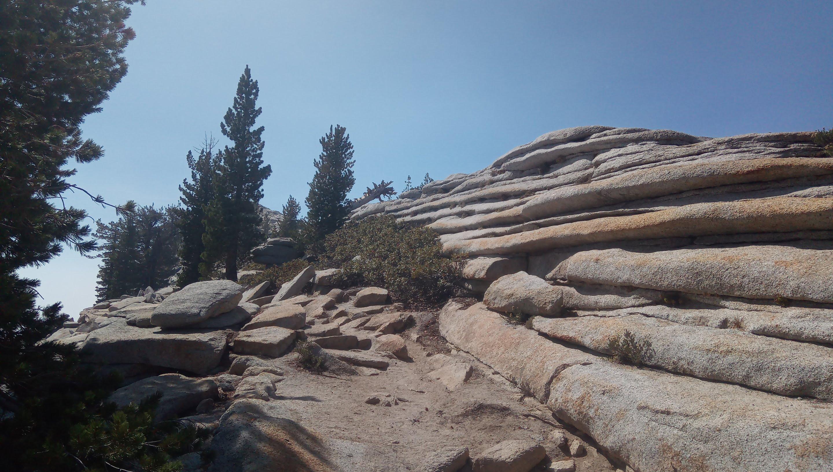
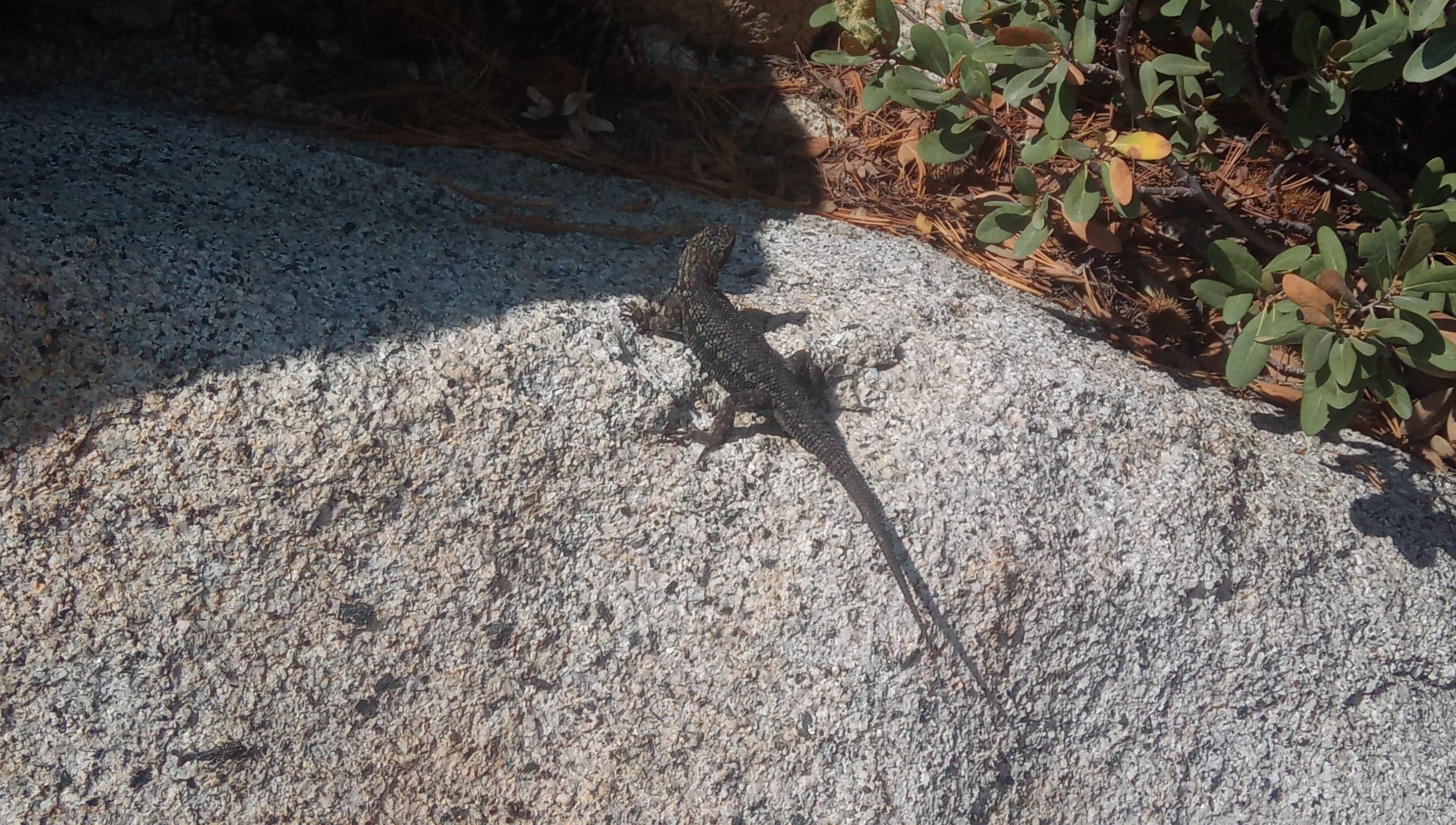
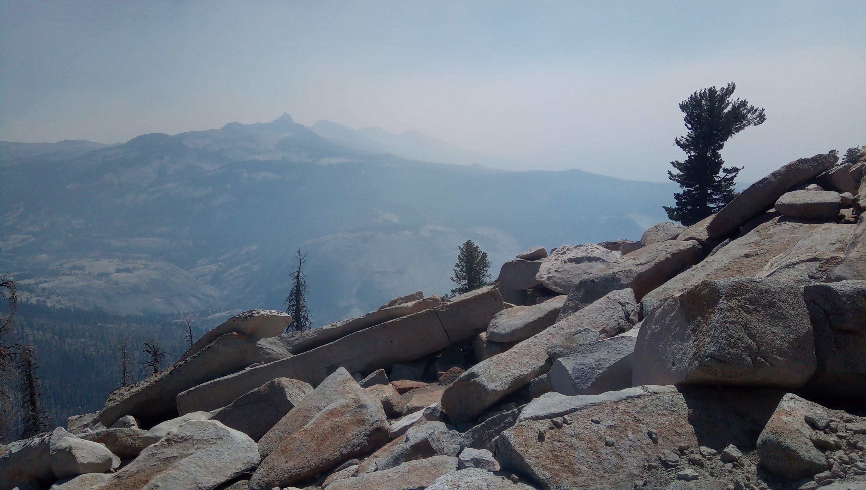
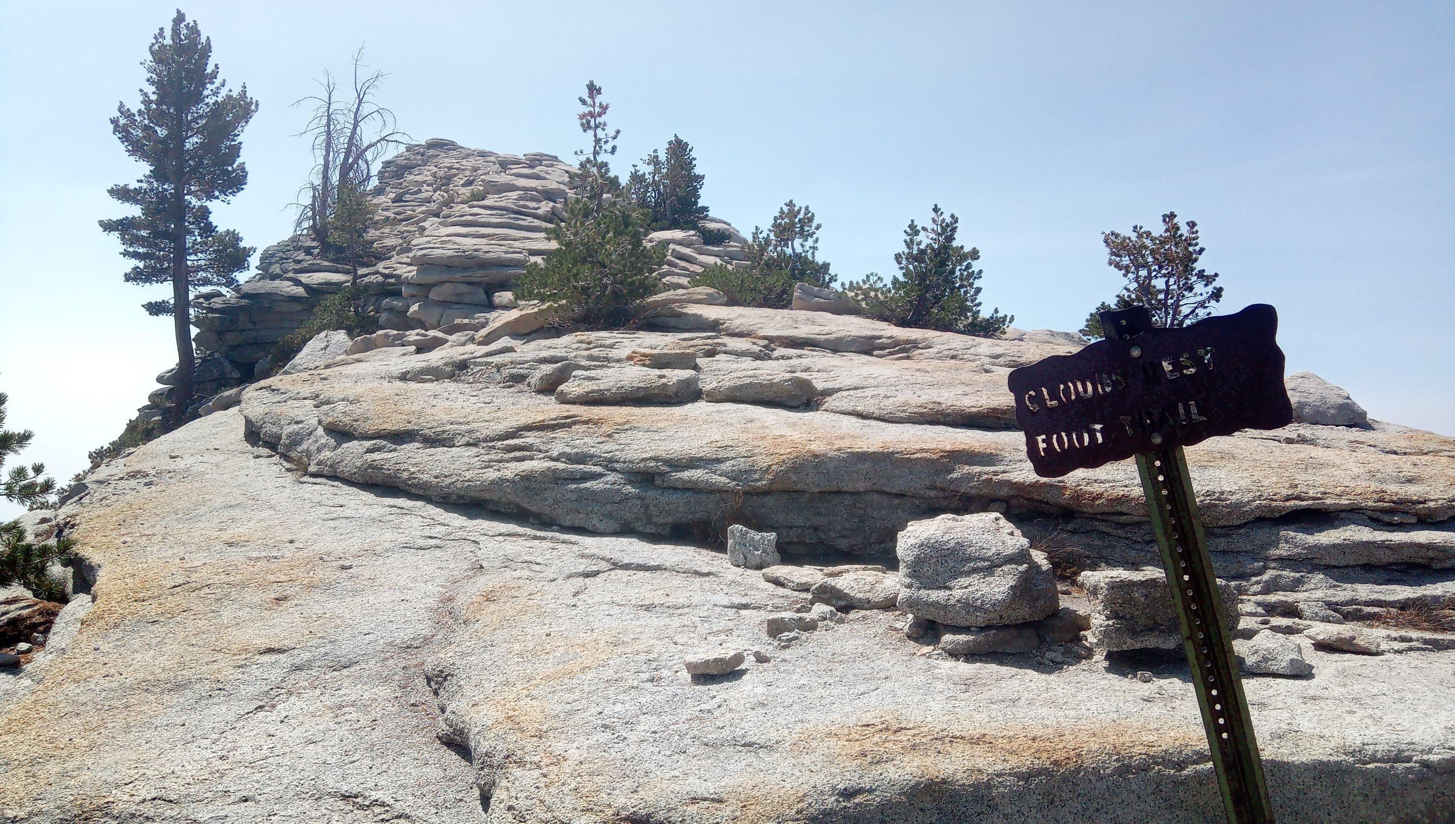
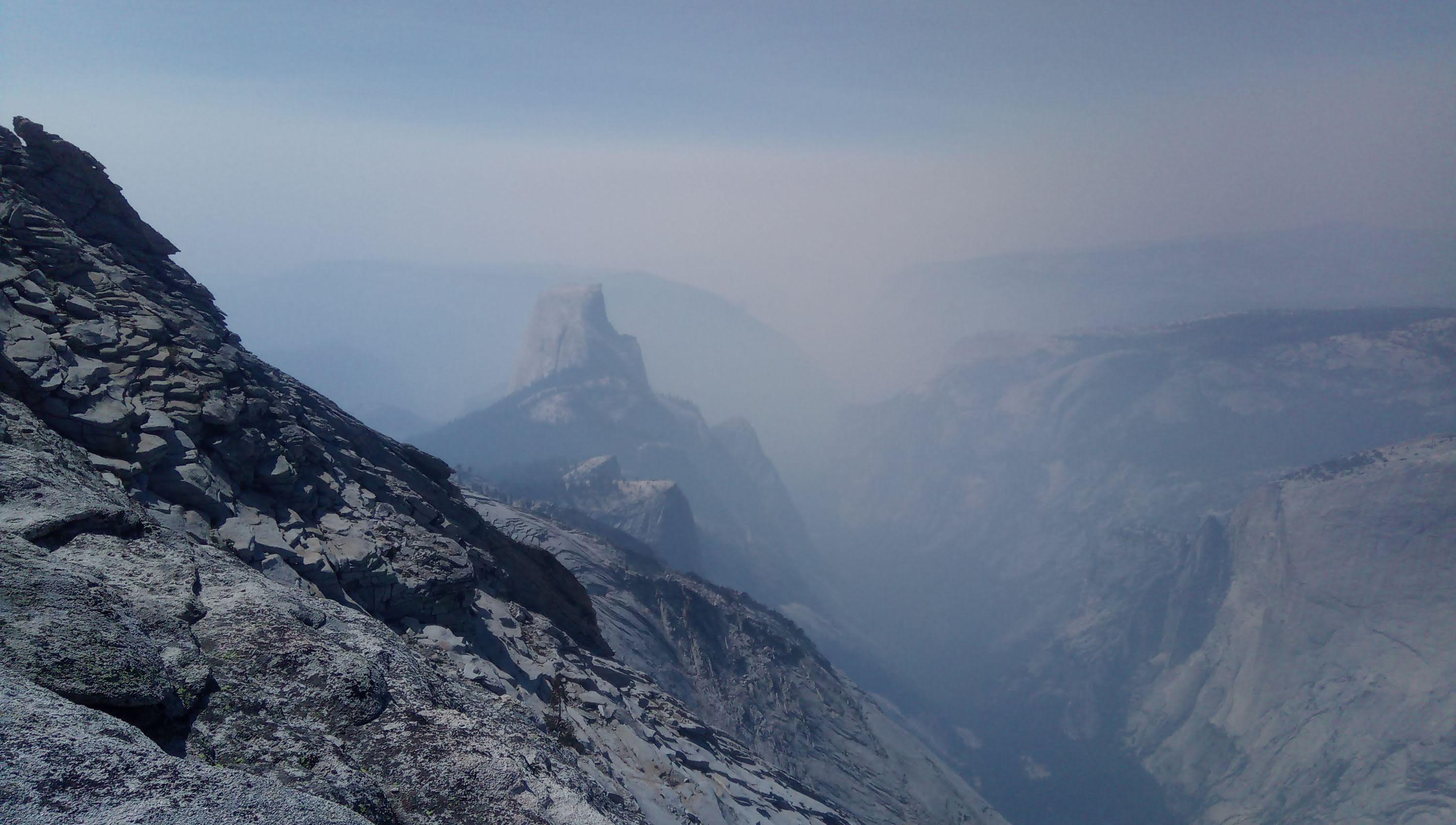
Lake on the bottom of the valley Mount Starr King on the left, Clouds Rest on the right. Smog starts to show up Upper Yosemite valley and Smith Peak in the background. View from Clouds Rest crest Top of the crest scarred by glacier Wildlife Rock chaos and Mt. Lyell (I believe) in the background Foot trail Ta-dah! Half Dome as seen from the East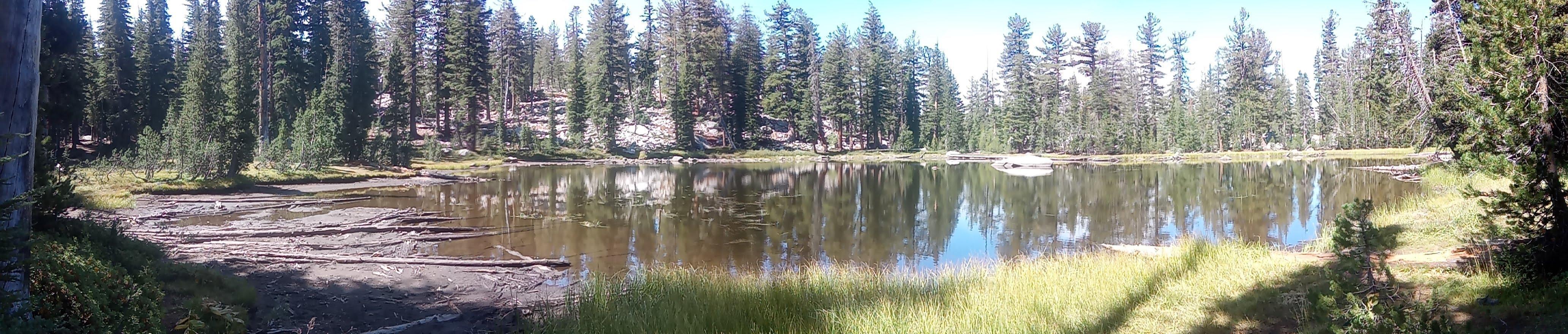
Clouds Rest SOTA activation
Had QCX+ rig with amplifier with me. With 13V battery the rigs pumps about 14W into an antenna. Also had GPS kit with me and tried to send WSPR signals but no signals from me were reported. Need to double check I use the right settings. 14.062, usual frequency I work, was busy, faint QRM, couldn’t read and didn’t want to interfere. I’ve moved up to 14.063 and activated the summit within 30 minutes.
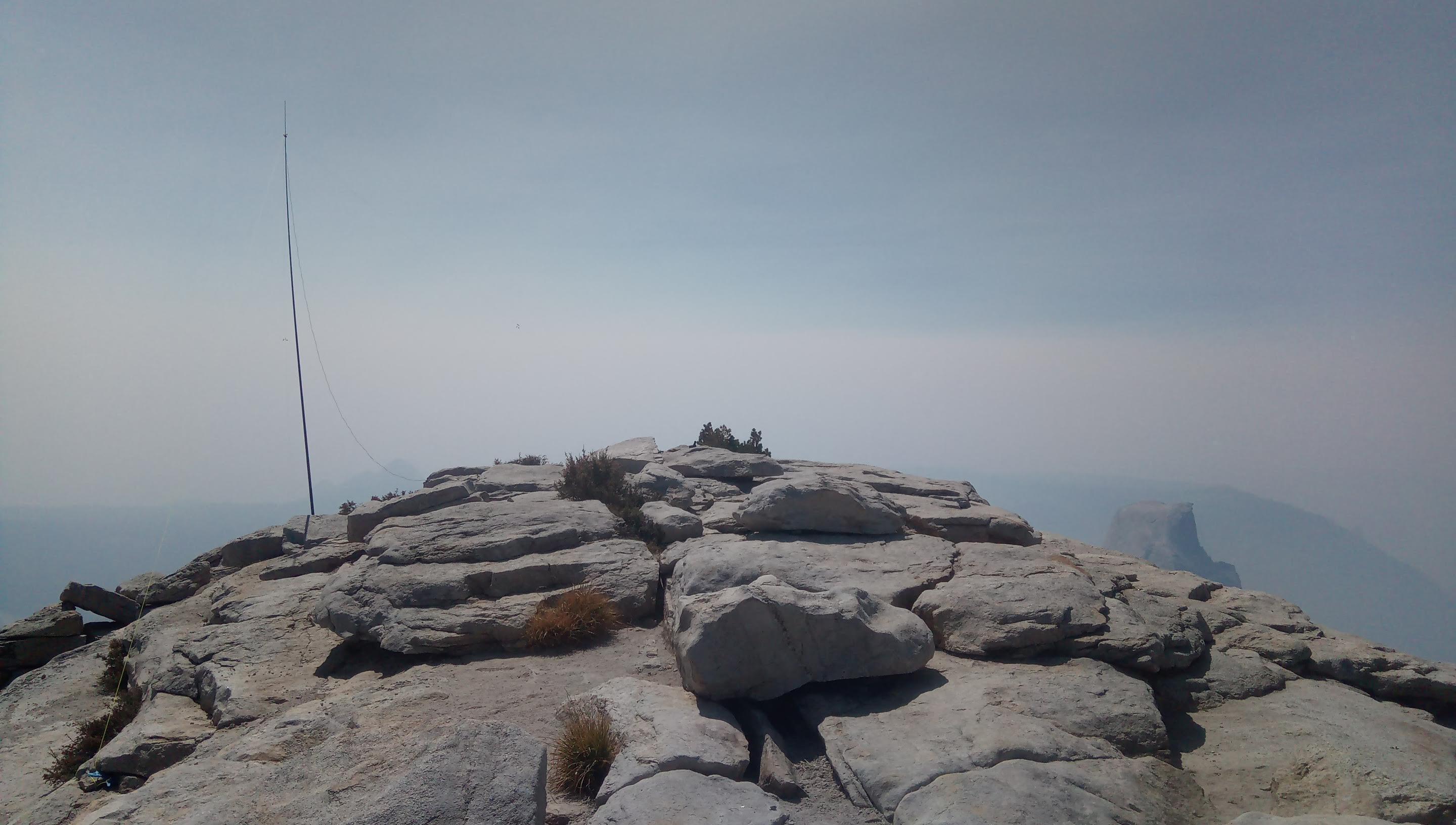
Dipole deployed on the top. Time to activate
Stations worked from W6/SS-257
As always great to hear you folks again! Randy K9VD, Gary N2ESE thanks for helping me to activate!
| Time UTC | Call sign | RST sent | RST received | Frequency | Mode | Location |
|---|---|---|---|---|---|---|
| 20:30 | AB6SO | 599 | 559 | 14.063 | CW | CM87 |
| 20:35 | N2ESE | 599 | 559 | 14.063 | CW | FN20 |
| 20:40 | WD8KDB | 499 | 449 | 14.063 | CW | EN85 |
| 20:41 | K9VD | 599 | 559 | 14.063 | CW | CN87 |
| 20:45 | KE9AJ | 599 | 559 | 14.063 | CW | EN50 |
| 20:55 | K0LAF | 599 | 559 | 14.063 | CW | EM37 |
Hiking back
Return leg of the hike was quite uneventful. Smog was getting thicker and thicker and I wanted to get back as soon as possible.
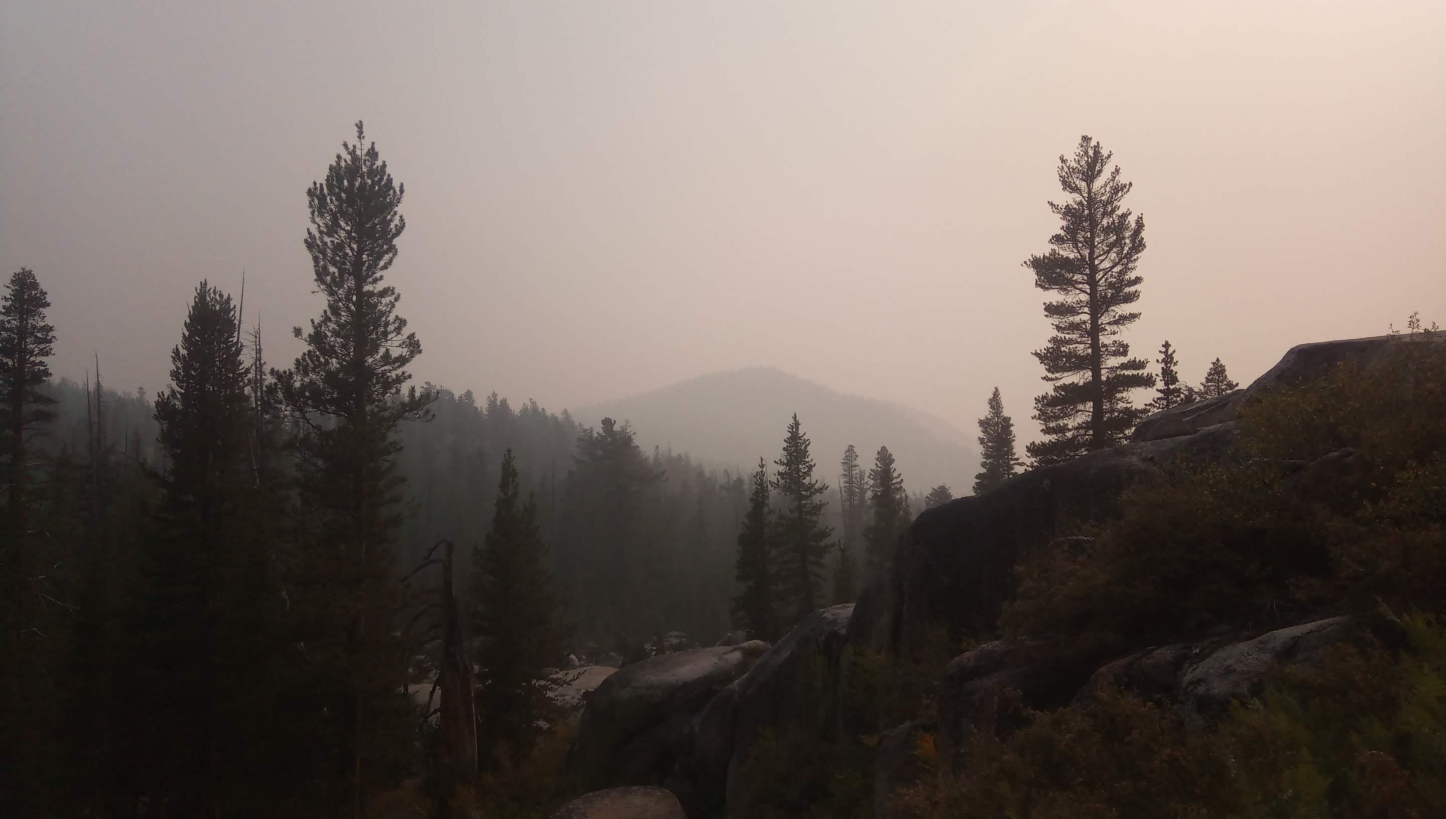
On the way back, smog gets thicker and thicker
One of my favorite hikes in Yosemite, even fires could not poison the experience. Stay tuned for more, K0SSK out 73.