Scarper peak SOTA (non)activation 2021-01-17
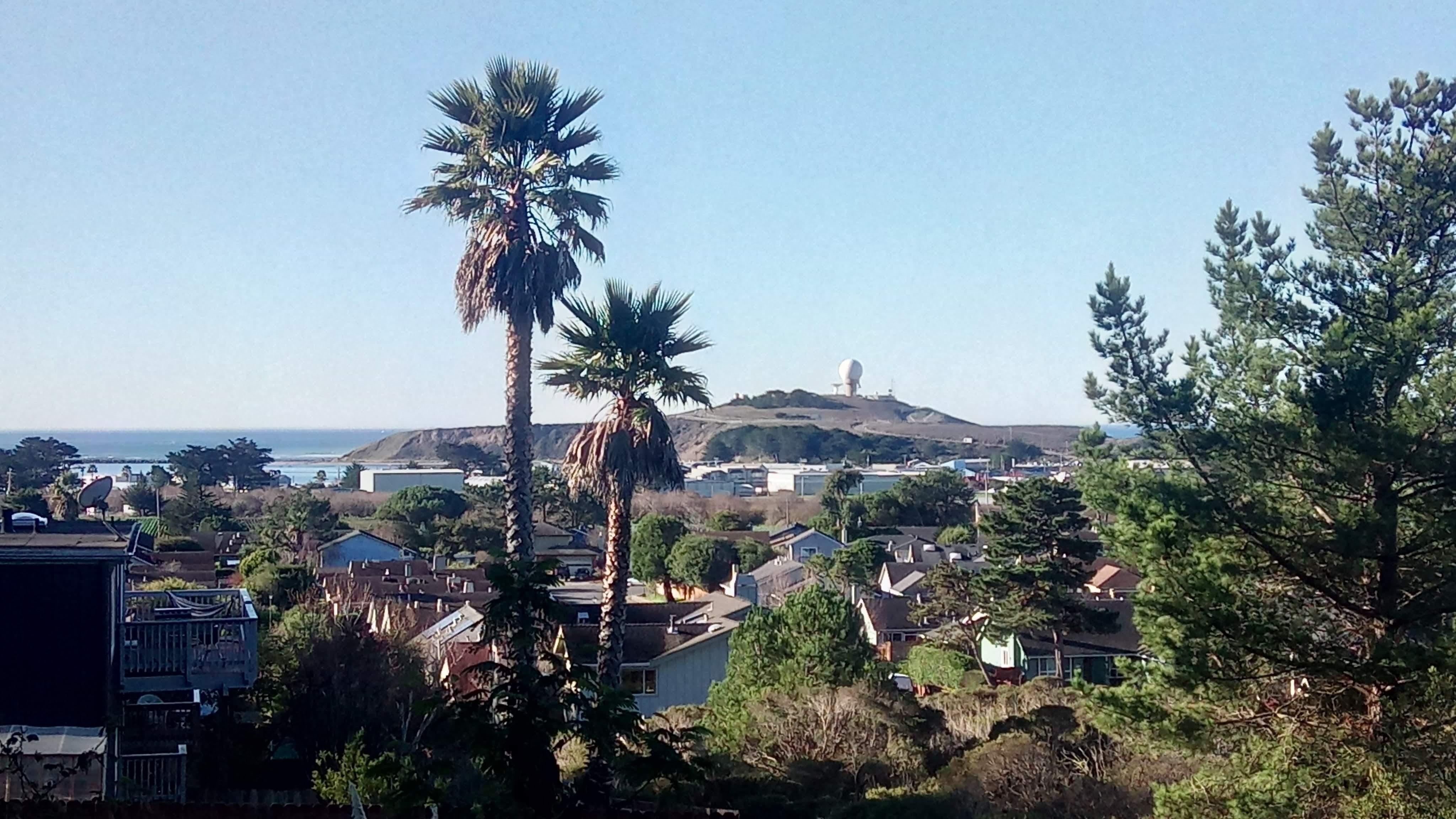
And yet another SOTA report from the Bay Area - this time it is about Montara mountain with its highest point - Scarper peak also known as W6/NC-288.
It may be of a surprise to you but european explorers were oblivious of San Francisco bay existence for quite a while. For example Sir Francis Drake most likely stopped to careen his ships in what is now called Drakes bay during his 1579 circumnavigation voyage and search for a North-west passage. English later were trying to use his landing to dispute Spanish and American claims on California.
Only in 1769 Juan Gaspar de Portola and his companions discovered the Bay. The monument commemorating this event is located on the Sweeney ridge trail hugging Montara mountain from the north.
There are other trails on the mountain I frequently hike because they provide a decent exercise and stunning views of both Pacific Ocean coast and the Bay. I recommend North peak trail / loop.
Getting to the summit is sketchy at best
SOTA activation is a tad problematic though because Scarper peak is sandwiched between private land and San Francisco watershed land closed to the public. On top of that (pun intended) there is an operational FAA radar on the peak and I would rather not risk interfering with it even with a pesky 10W rig.
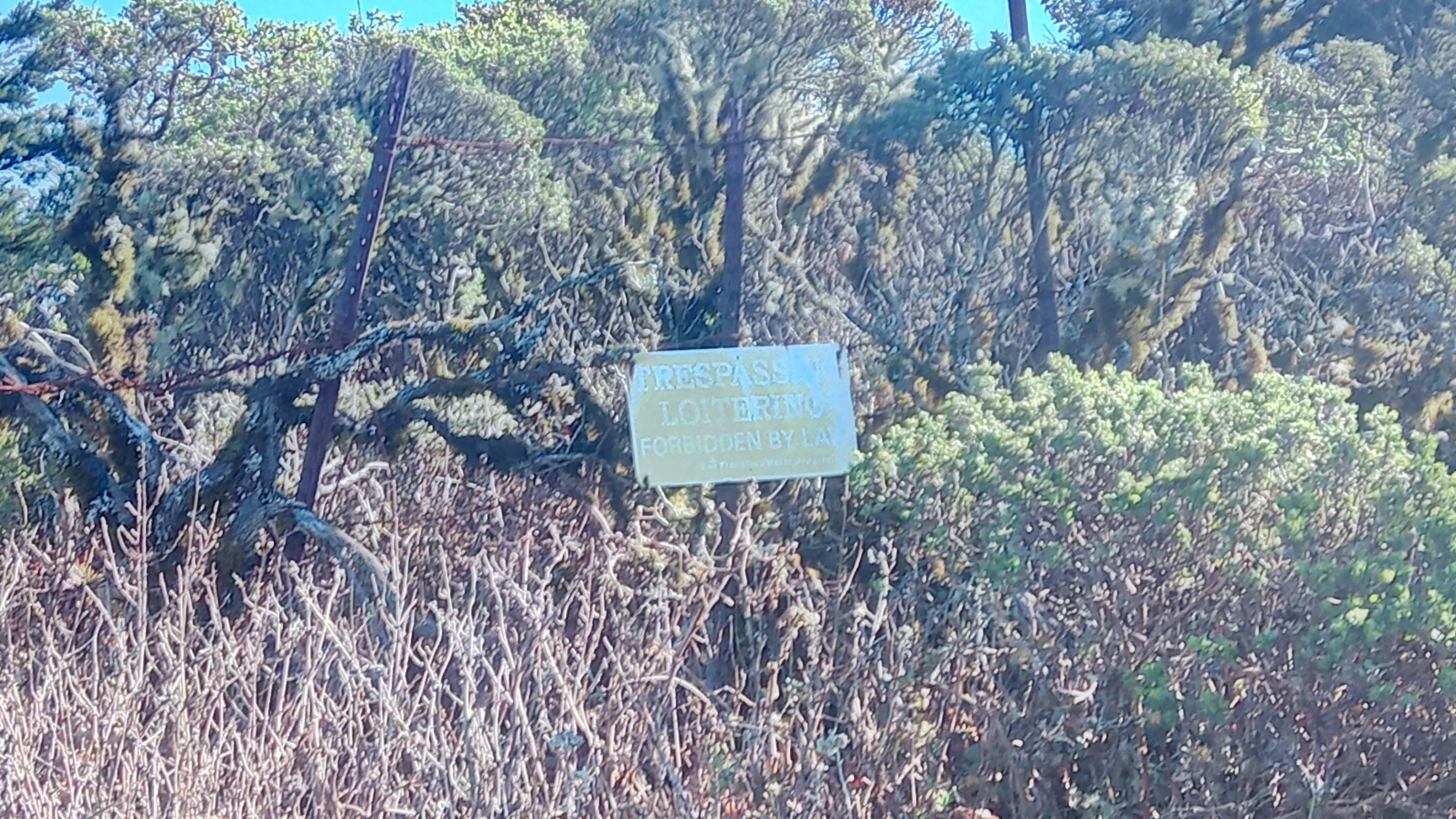
San Francisco watershed - no trespassing allowed
Scarper peak trail page on All Trails seems to be out of date. Apparently the peak was reachable but at some point since 2018 another gate had been added here blocking direct summit access. When Brian N6IZ heard in the SOTA Slack channel I’m planning to activate Scarper he shared his post with information on how to get to the summit without getting onto private land.
Having considered all pro- and contra- I chose this place to work other HAMs from. This point is below 25 meters from the summit vertically so I didn’t activate the mountain technically and didn’t add points to my record. At the same time it is high enough to make line-of-sight contacts with most of the Bay Area. Also you don’t not need to do any bushwhacking, there is a road all the way to the top.
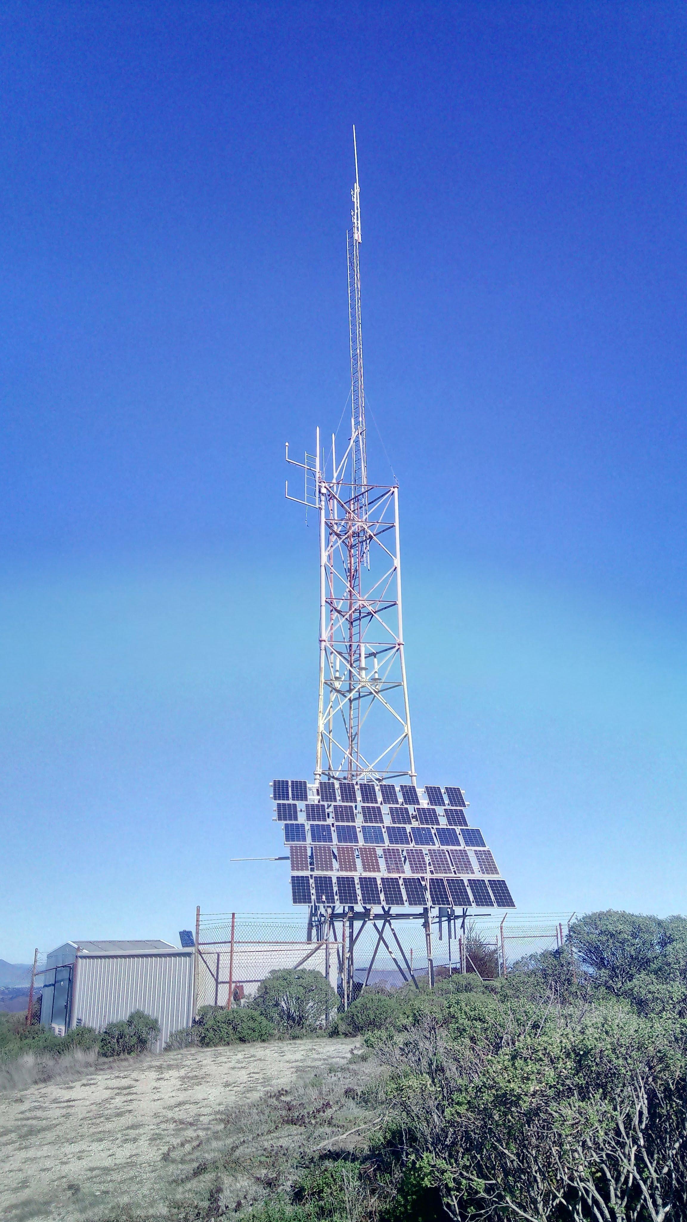
An installation on the ridge - will be activating from here
If you feel like you absolutely have to get to the peak I believe you can use an abandoned tractor as a landmark and then bushwhack up a wash to a service road and the activation zone. Once again I do not recommend doing that.
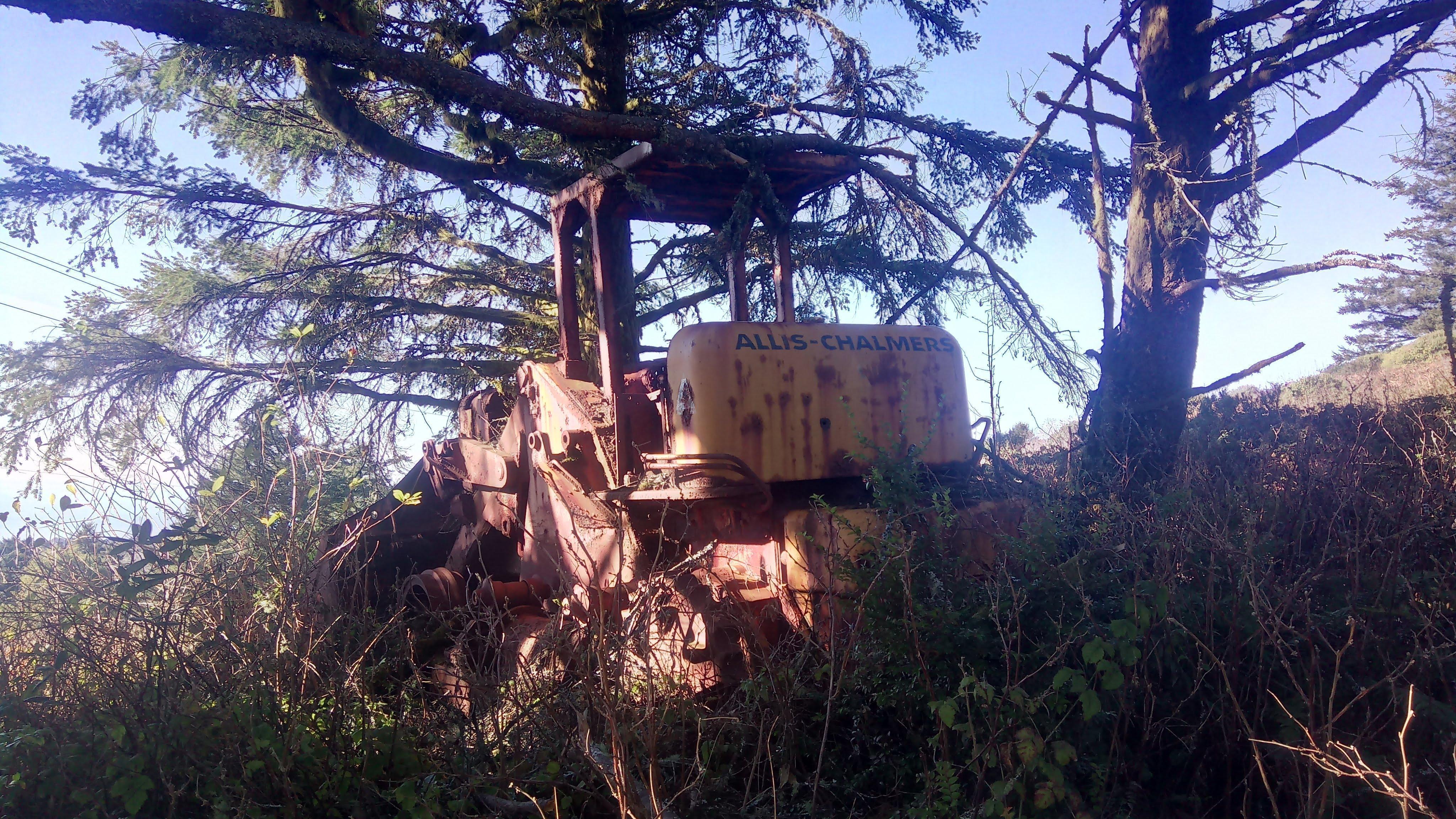
An abandoned tractor
Here is the map I’ve made.
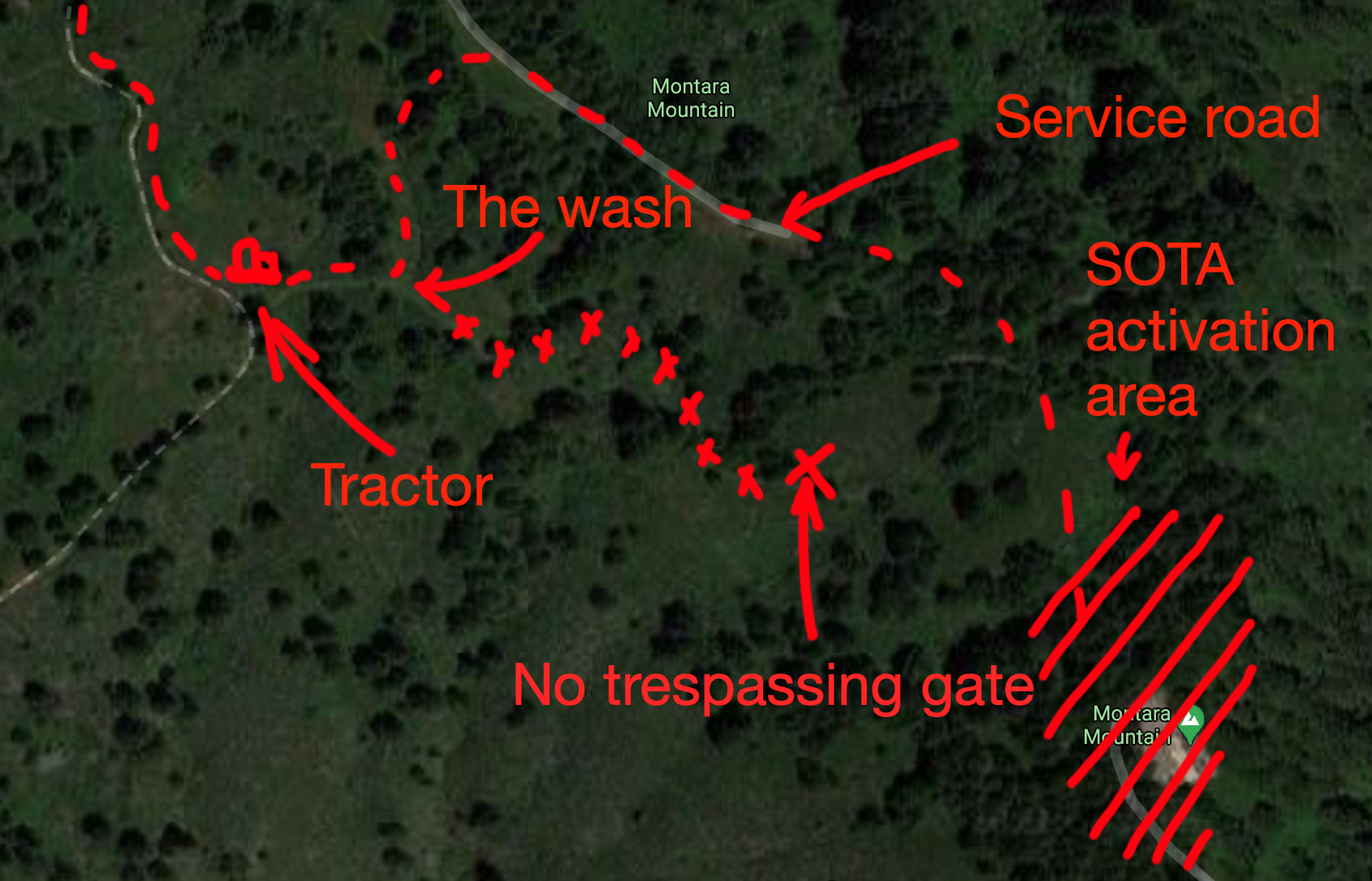
Ye Olde Pyrate map
Getting there
The trailhead and parking is located here in El Granada. I don’t think you’ll have any problem finding a parking spot - the trail does not seem to be too popular outside of the local community and locals don’t need to drive there.
As you hike up, vistas of El Granada and Pillar point start to open up. Further up you’ll have a great view of the local airfield and harbor.
El Granada and Pillar point Eddie Andreini Sr. Airfield Pillar point harbor

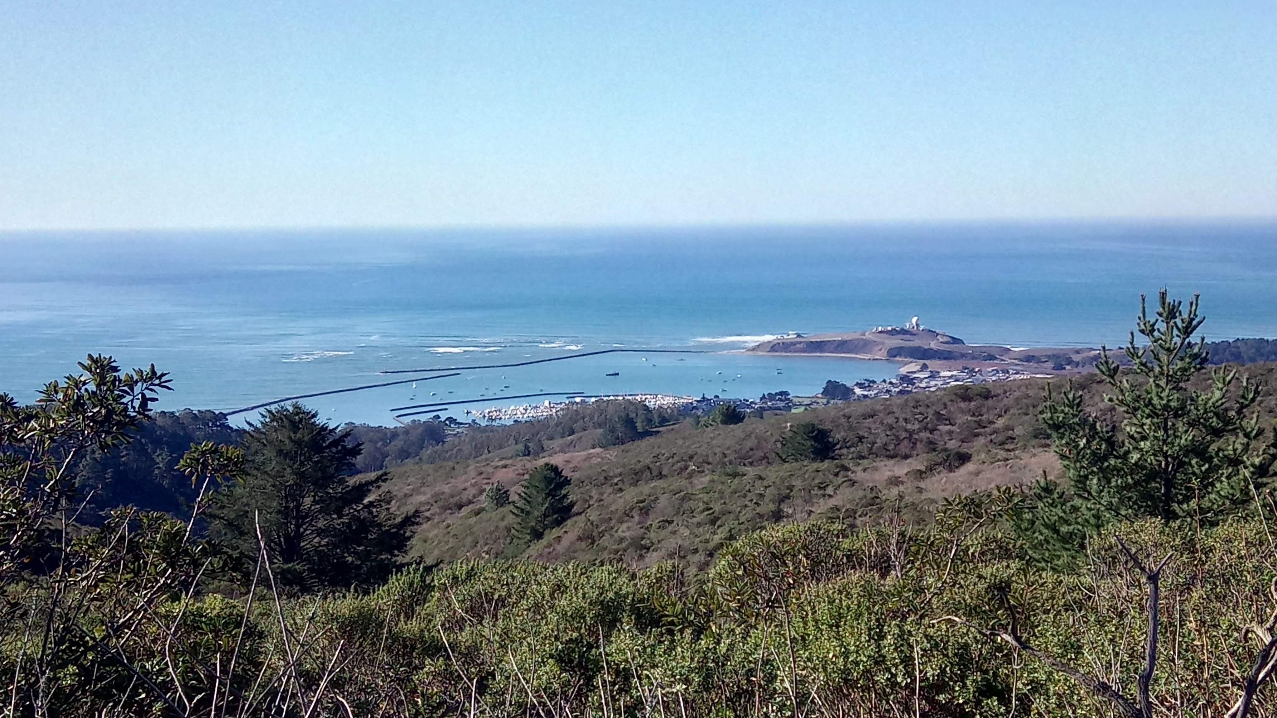
Most of the trail is exposed and when I hiked it the temperature reached 80F (27C). IN JANUARY. Have plenty of water, sunscreen and a head cover! There are some trees on the ridge though.
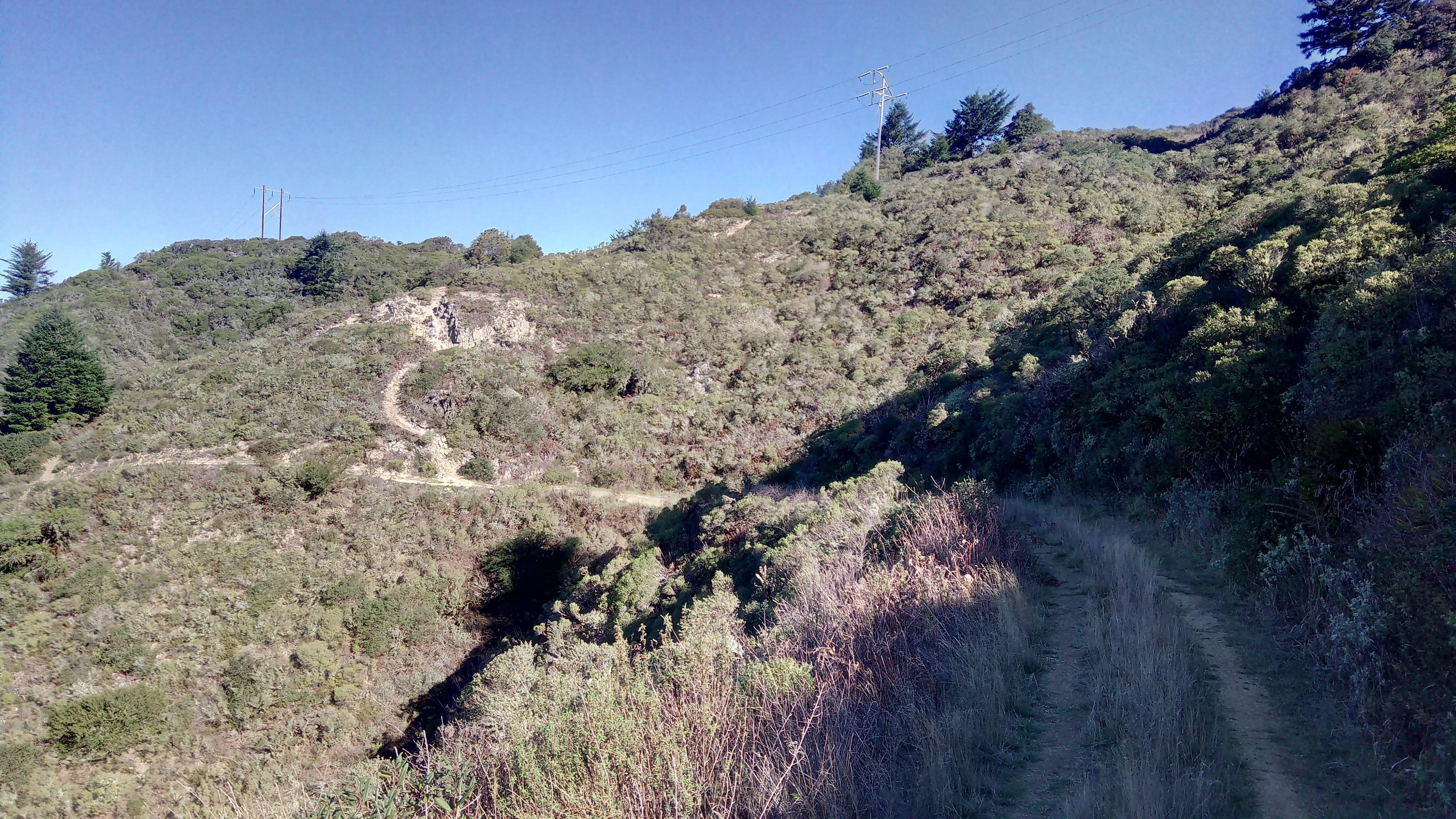
Spine ridge trail
Scarper peak SOTA (non)activation
If you read my previous reports you know I activate on HF. Never had any success trying to activate on VHF and it was the time to fix that. Usually I hear some folks calling SOTA or operating mobile but they don’t seem to pick the signal from my 5-10W handhelds and a short antenna. Activating during a week long VHF contest boosted my chances as well as did my new Arrow II yagi antenna. Brent KB1LQD was planning to activate Mt. Umunhum and we coordinated.
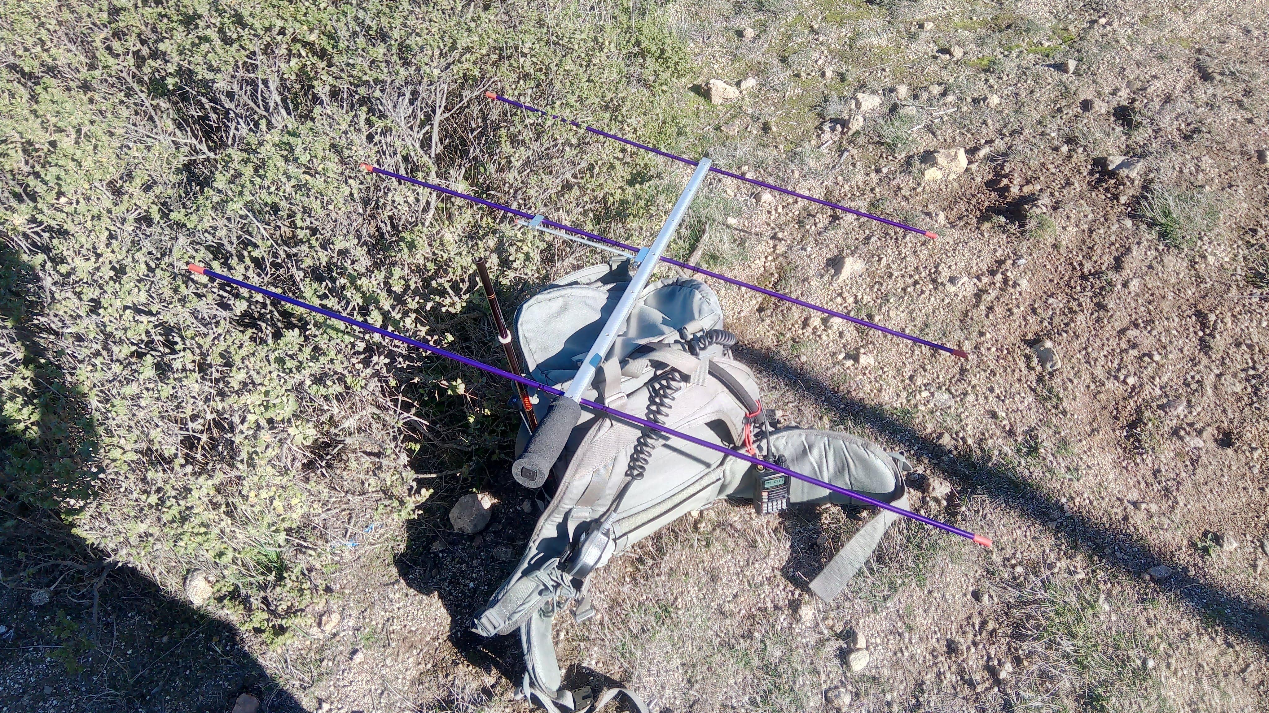
Yaesu VX-6 and Arrow II antenna
Stations worked from W6/NC-288
I was able to make QSOs with KB1LQD, K6TJ, K6EL, N6JSO, KN6ETI and K2GMY. Thanks folks I had a lot of fun!
See you next time! 73 K0SSK out.