Lost coast 4x4 trail and Chamisal Mountain SOTA activation
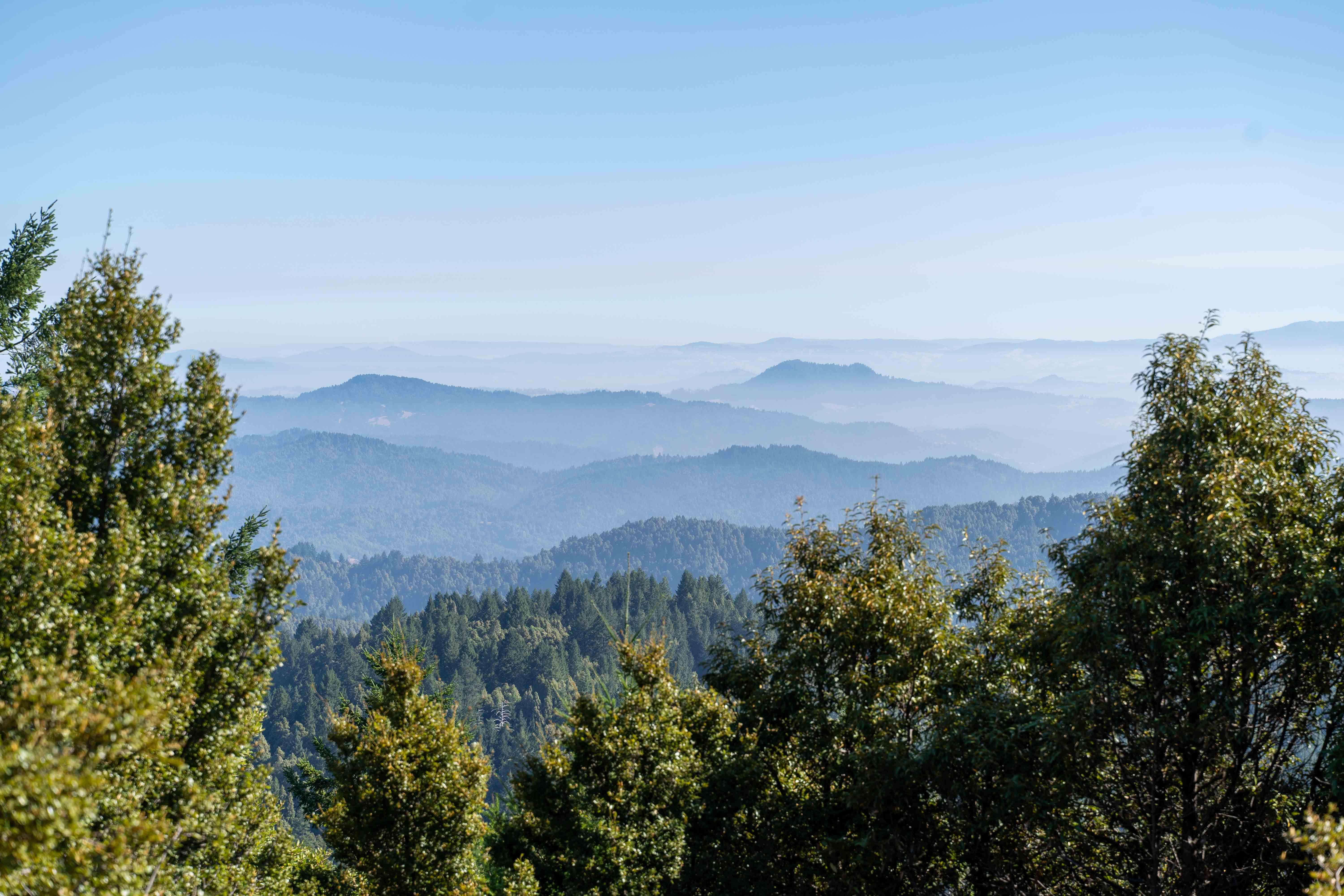
Hello, friends and welcome back! Finally found some time to spare and write about Chamisal Mountain W6/NC-187 activation and my trip along the Lost Coast 4x4 trail.
The King Range Conservation Area in Northern California had been on my radar for what felt like forever. Here, Highway 1 veers away from the ocean, leaving the rugged shoreline to hikers and the occasional black bear. Other than some logging operations in the late 19th and early 20th centuries, this remote area remains largely undeveloped.
The jewel crown of the King Range is the Lost Coast hike - two-to-four days track along the shore. For detailed preparation tips, I recommend checking out HikingGuy blog post. Personally, I’ve always struggled with permits: only 60 hikers are allowed on the trail daily during the peak season (May 15–September 15), and just 30 in the off-season. Being a busy (and quite spontaneous) person I never managed to get the permit.
Well, the good thing is that there is a hack for the lazy people with a 4x4 vehicle: Lost Coast 4x4 trail! I wouldn’t say it is a one-to-one substitution, but you get to see most of the cool stuff and even squeeze a SOTA activation into your trip.
Lost Coast 4x4 trail
- Before you depart, make sure Usal road is open - it is closed between November and April-May. Check the Mendocino county road closures and delays page.
- Be black bear safe - I saw more bear poop in one day hiking Chamisal mountain than during my whole life before.
- Do note: since the Usal road is quite overgrown and narrow at times it is a common agreement to ride it from south to north so no one has to backtrack yielding to the opposite traffic.
- The trail is not too technical, I saw people do it in Sprinter vans and Outbacks. There can be quite a bit of mud early in the season though. The best time to visit is July to September.
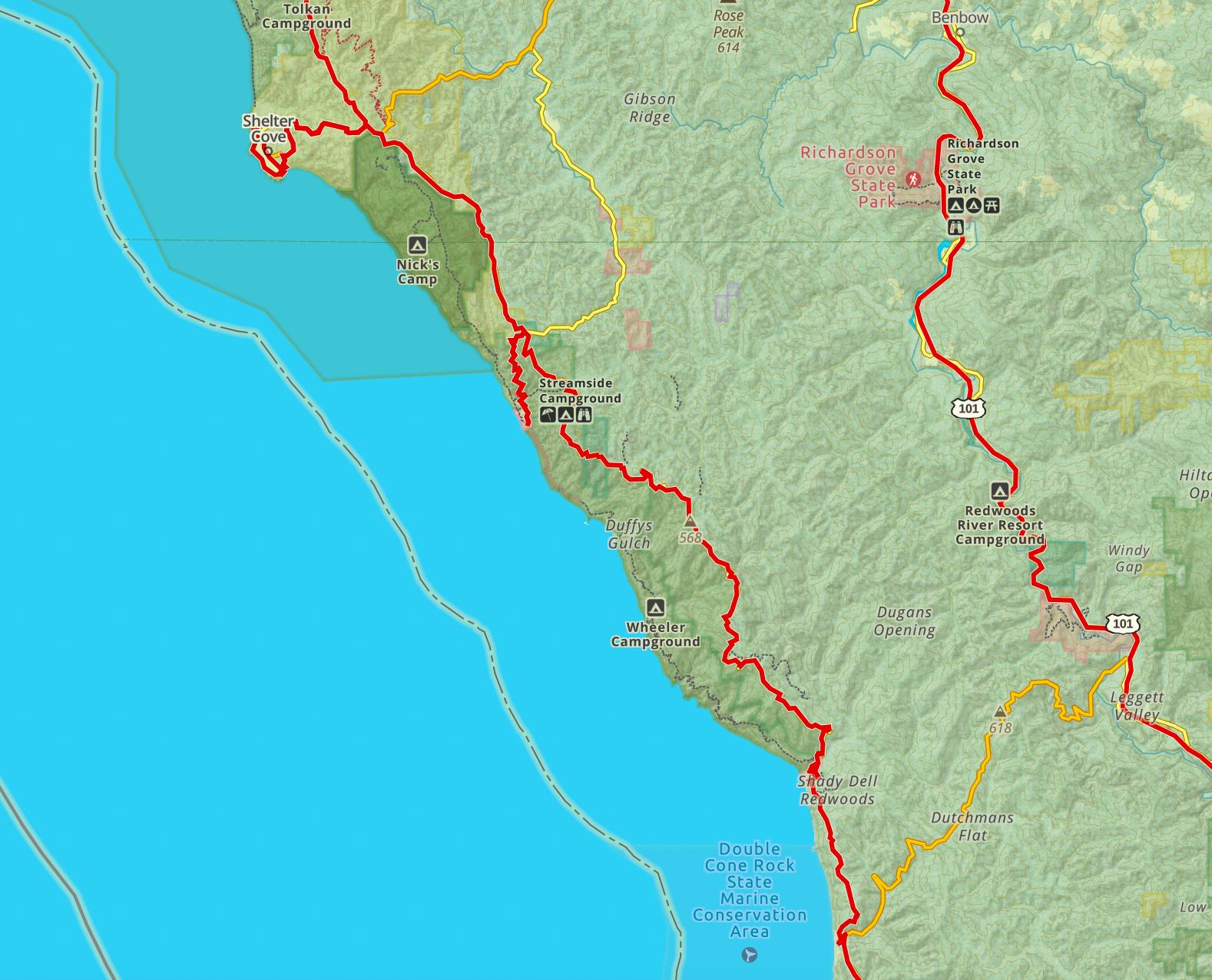
Lost coast 4x4 trail map south
I would expect to be on the trail for 2-4 full days.
My itinerary
- I was at the southern terminus on Friday evening, spent the night camping at Usal beach.
- Saturday morning I did Usal road, visited Needle Rock, hiked in King Range Wilderness and spent the night camping at Wailaki campground.
- On Sunday in the morning I activated the Chamisal mountain, visited Shelter Cove and rode north on King Peak road. I was in Punta Gorda, the northern terminus, in the evening, and hiked to the Punta Gorda lighthouse.
- After that I scrambled and left for SF. As you may imagine Sunday felt somewhat rushed and long. I should have camped at A. W. Way county park campground and spent some time in Humboldt Redwoods Park on Monday.
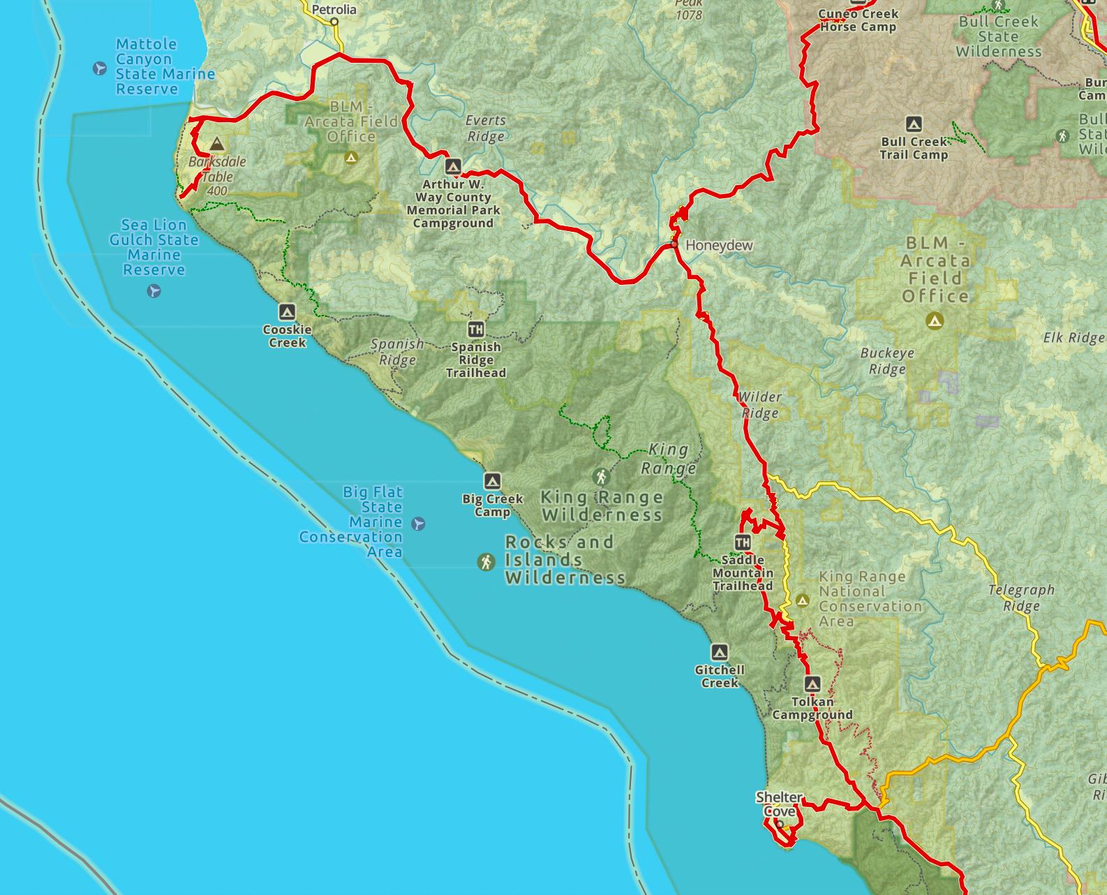
Lost coast 4x4 trail map north
Friday
The trail branches off HWY1 between Rockport and Hales Grove as Usal road. Do note, there are no gas stations in the immediate vicinity of the trail starting point. Closest gas stations are in Legett, about 15 miles to the north-east and Fort Bragg, about 30 miles to the south. On my way in I overshot and lost about forty minutes returning to Legett.
It was already evening, and the haze of low clouds made the ocean, fir, and pine look somber, mysterious, and beautiful.
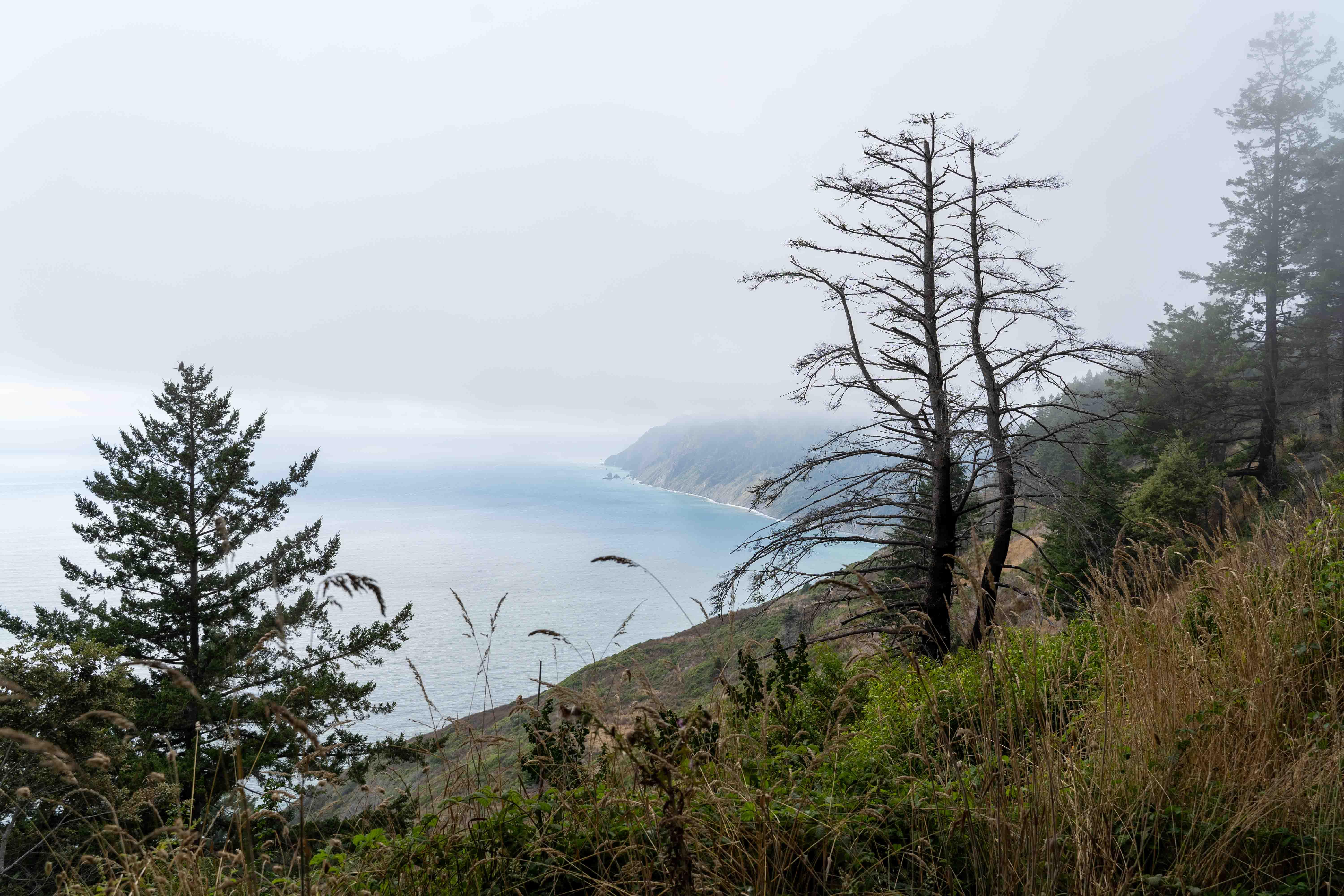
Usal beach as seen from above
Usal beach campground is ok. Facilities… Exist. If you’re (un)lucky enough, neighbors will be raving and setting off fireworks. Beach itself is off-limits for camping and wheeled vehicles. At least in theory. And, anyway, no one denies it is gorgeous.
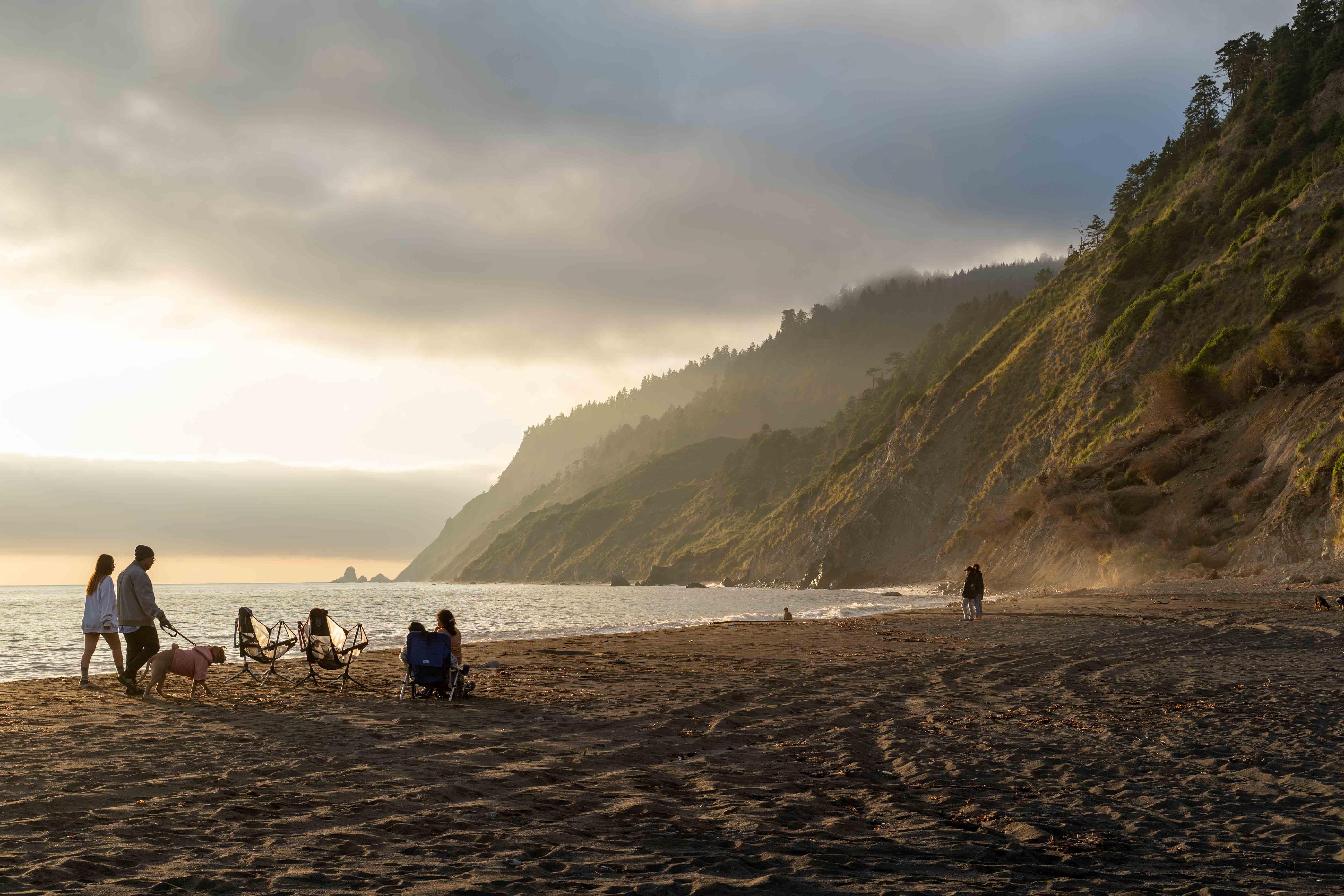
Usal beach during a golden hour
Saturday
Usal Road to the north from Usal beach was pure magic in August - see for yourself.
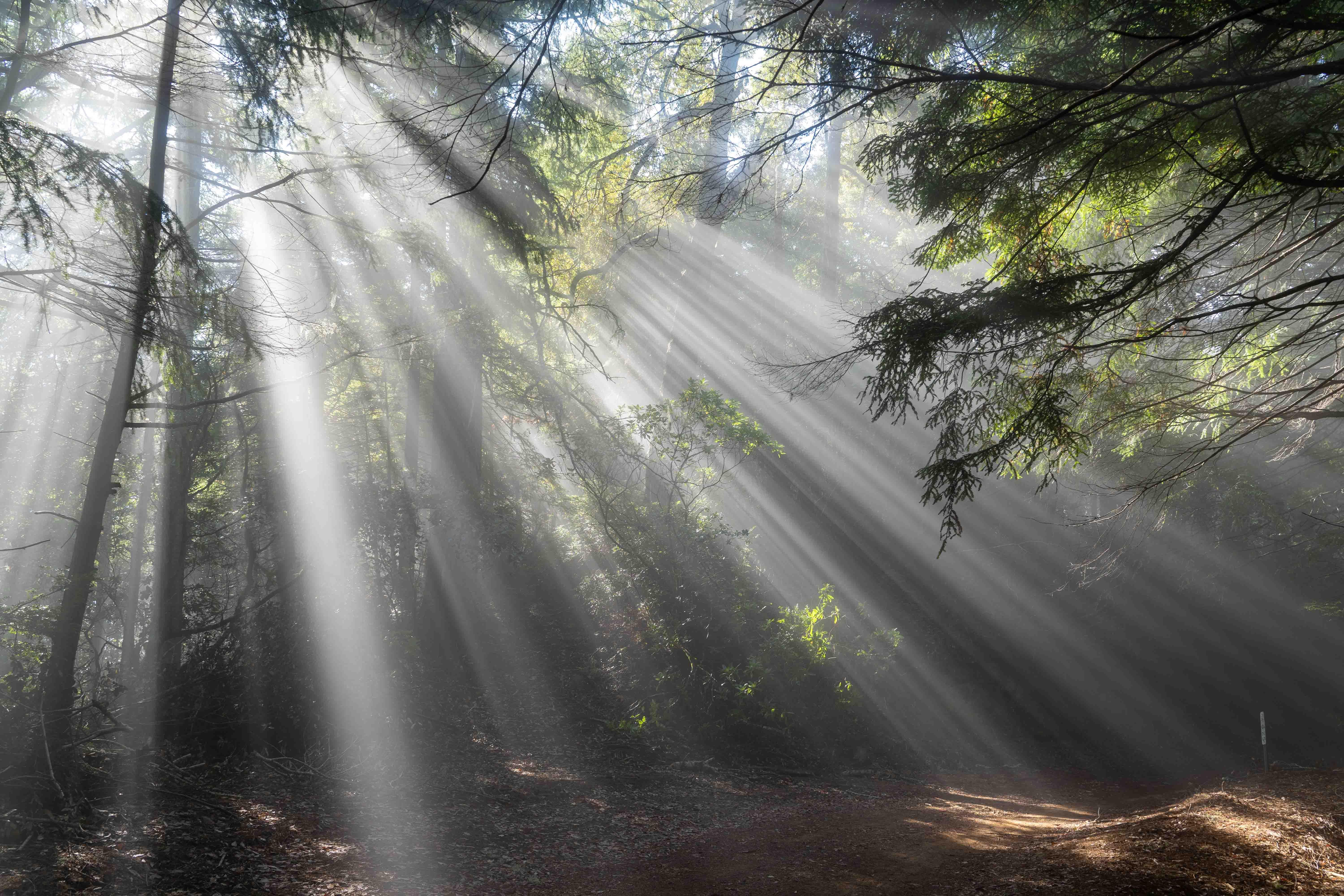
Magical forest
At Four corners pavement begins. I turned left toward Needle Rock. There is a small visitor center where the ranger lives and where you can get some potable water. The center has a tiny museum and a “bone room”: quite a few animals fall off a cliff or wash out from the ocean and end up here. Be careful not to fall off a cliff yourself - as the ranger put it, “this month isn’t called Fog-ust here for no reason”.
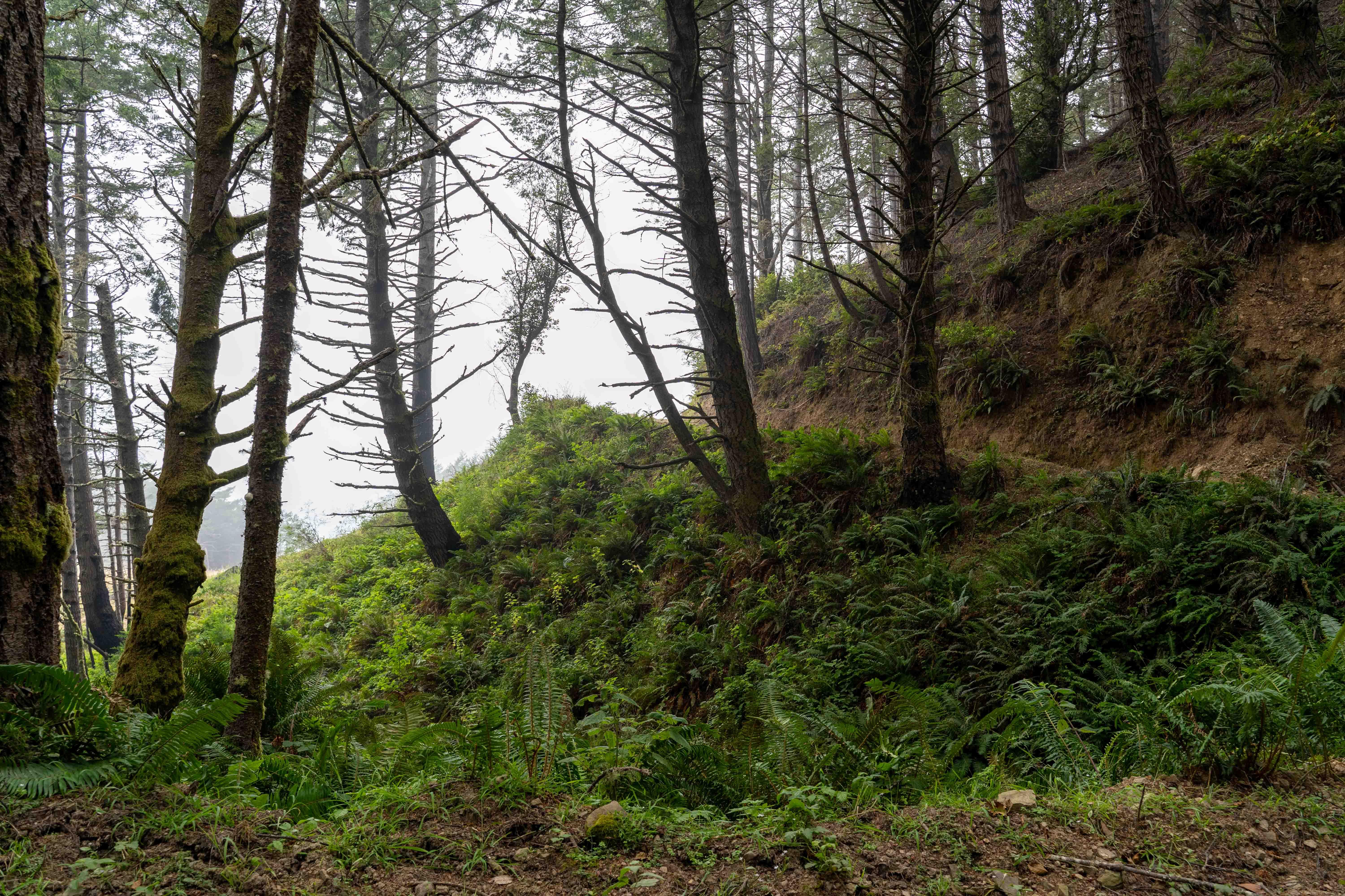
On the Birceland road
There is also a small, old cabin, available on a first-come, first-serve basis. It only fits about four people and I would rather leave it to the Lost Coast hikers.
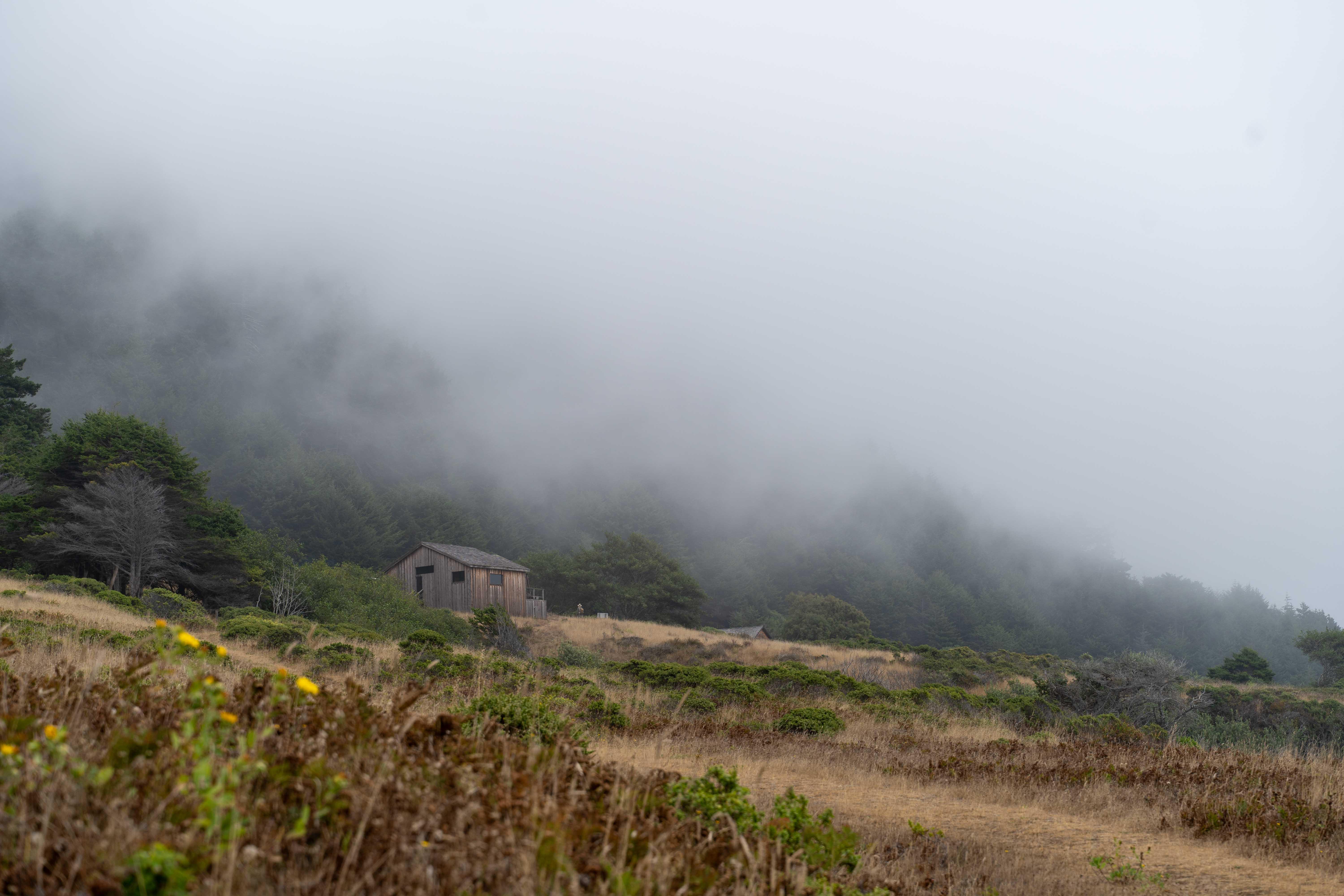
(A very) Lone Ranger
After a short hike to take photos of the Needle Rock proper I hit the trail again. Quite a good pavement road all the way to the Wailaki campground.
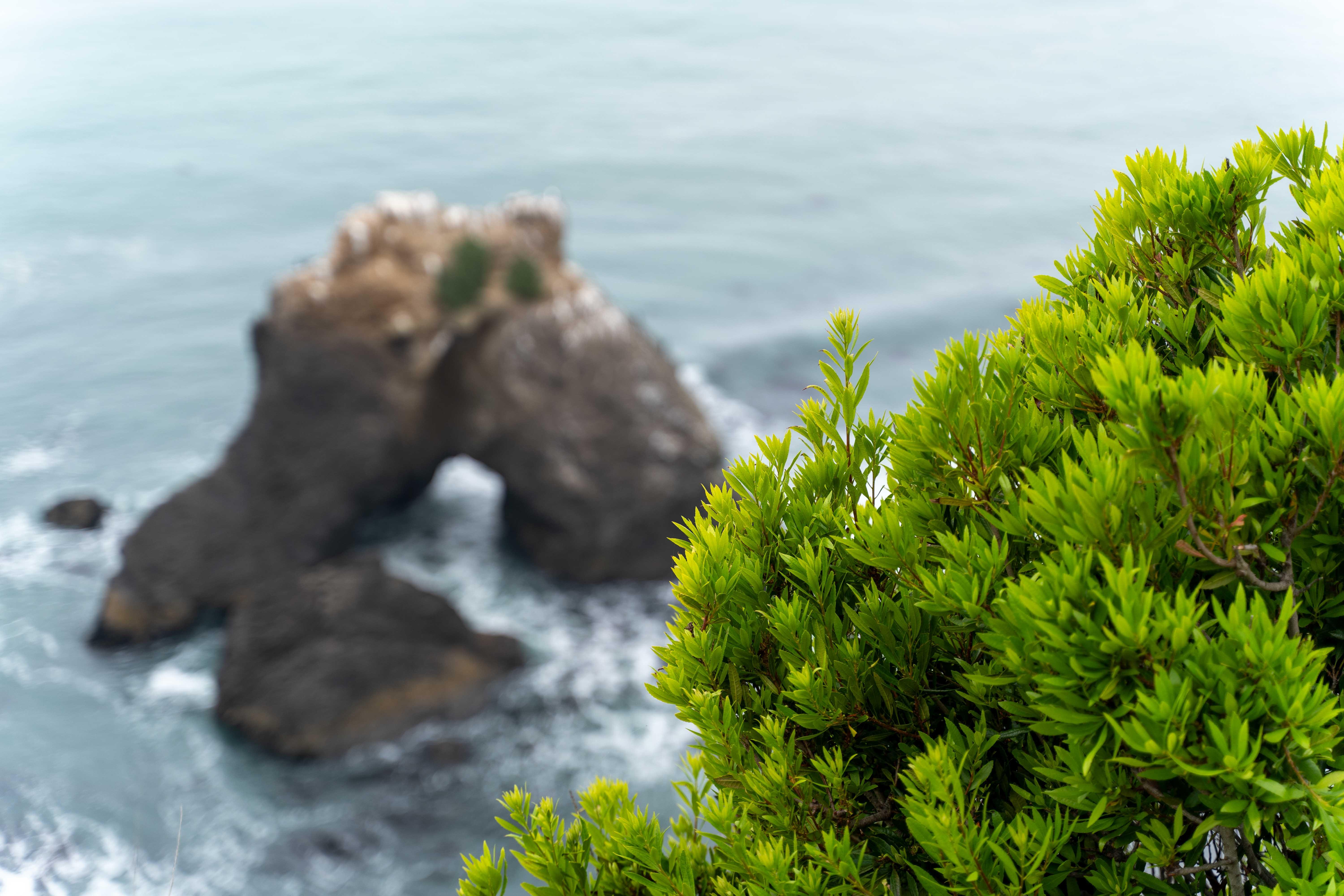
The Rock
After setting up a tent I hiked the Chamisal mountain loop - both to figure out how much time I’ll need on Sunday to get to the top to activate it and to see what’s up. You hike under the dense canopy mostly, but there are couple of clearings near Nick’s camp allowing you to see the ocean of fog from above.
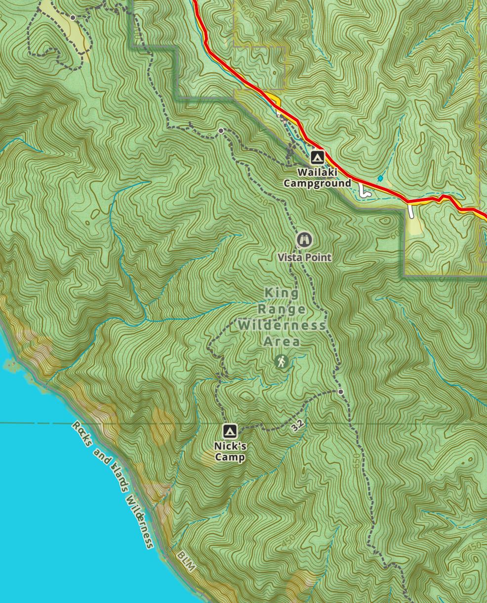
Chamisal mountain loop hike map
Saw a lot of bear poop on the trail. Also, met a cheerful doggo. Looped back, prepared a supper and called it a day.
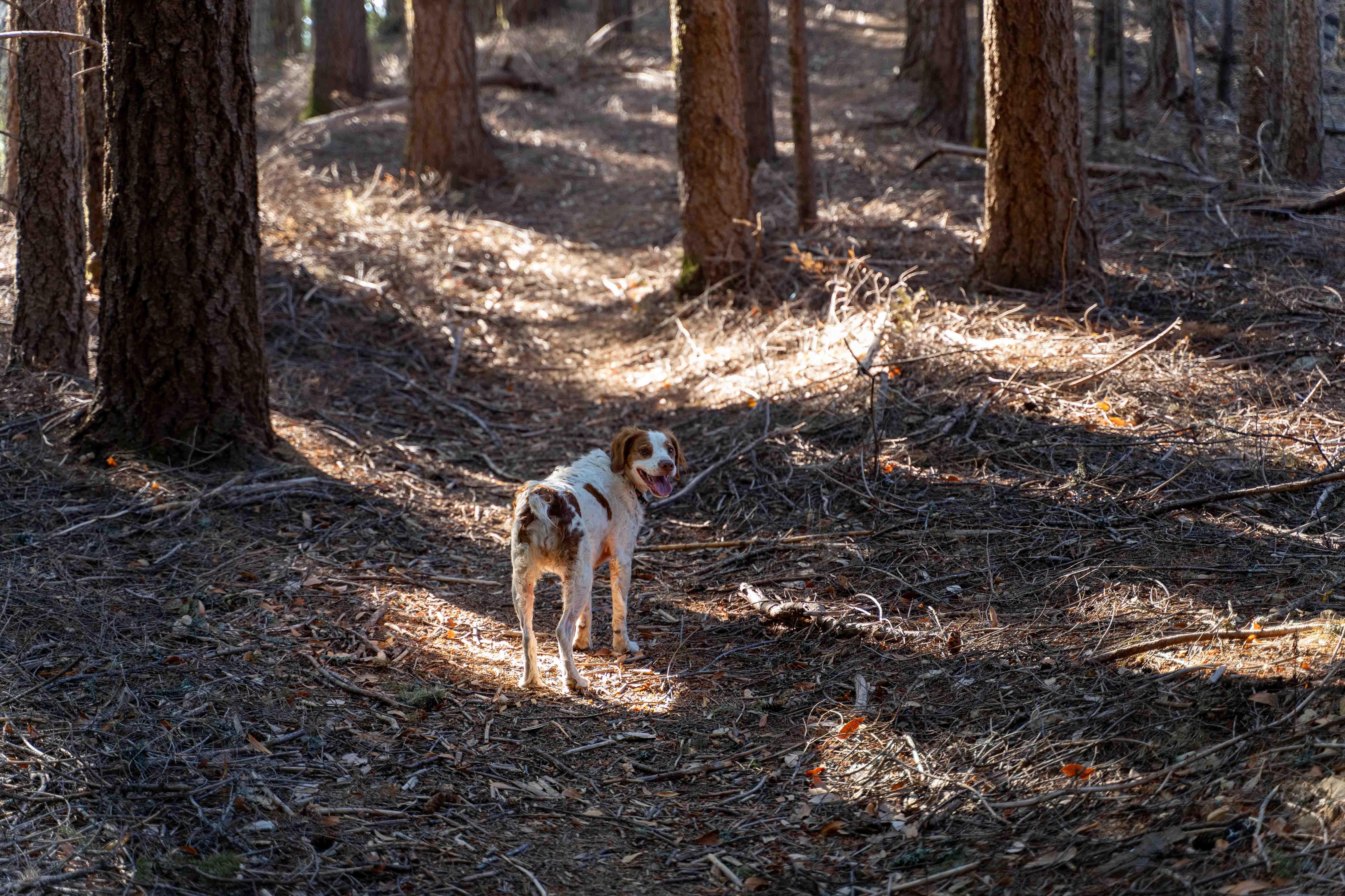
The doggo
Sunday
Hiking up from Wailaki campground took me about 45-50 minutes. Not too impressed with my activation - only four contacts, but I had little time to spare.
Descended and set off to Shelter Cove. The small town has general store with a gas pump, an airfield, restaurants and breweries. After having a lunch and a brief walk I was back on the road: now on the King Peak Road. You can either ride it all the way to the Wilder Ridge Road or, if you feel like spicing things up a bit, you can turn to the Saddle Mountain road. It is not very technical, but it is rocky, with some fairly steep sections.
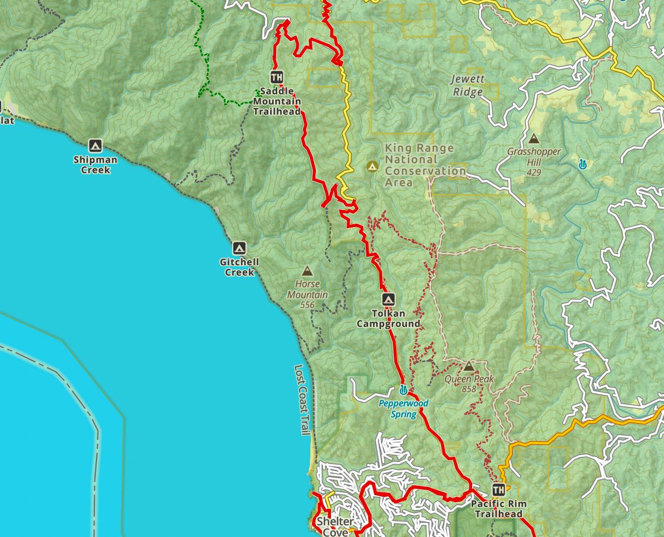
Wilder Ridge map
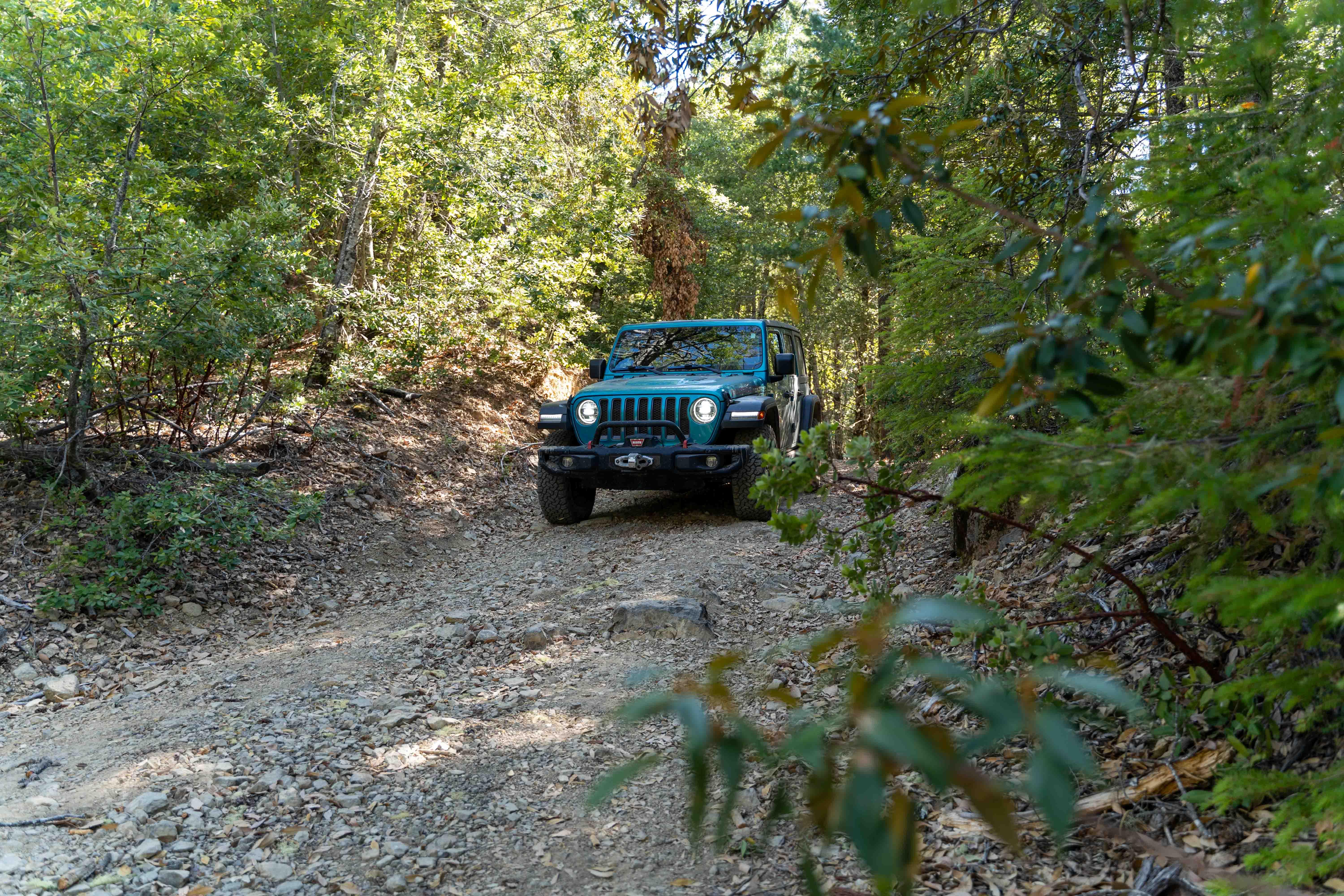
On the Saddle Mountain Road
Wilder Ridge road, a good quality paved road, brings you to a hamlet of Honeydew, where you take left to Mattole Road and further to Lighthouse Road. Mattole campground is the northern terminus of the Lost Coast trail.
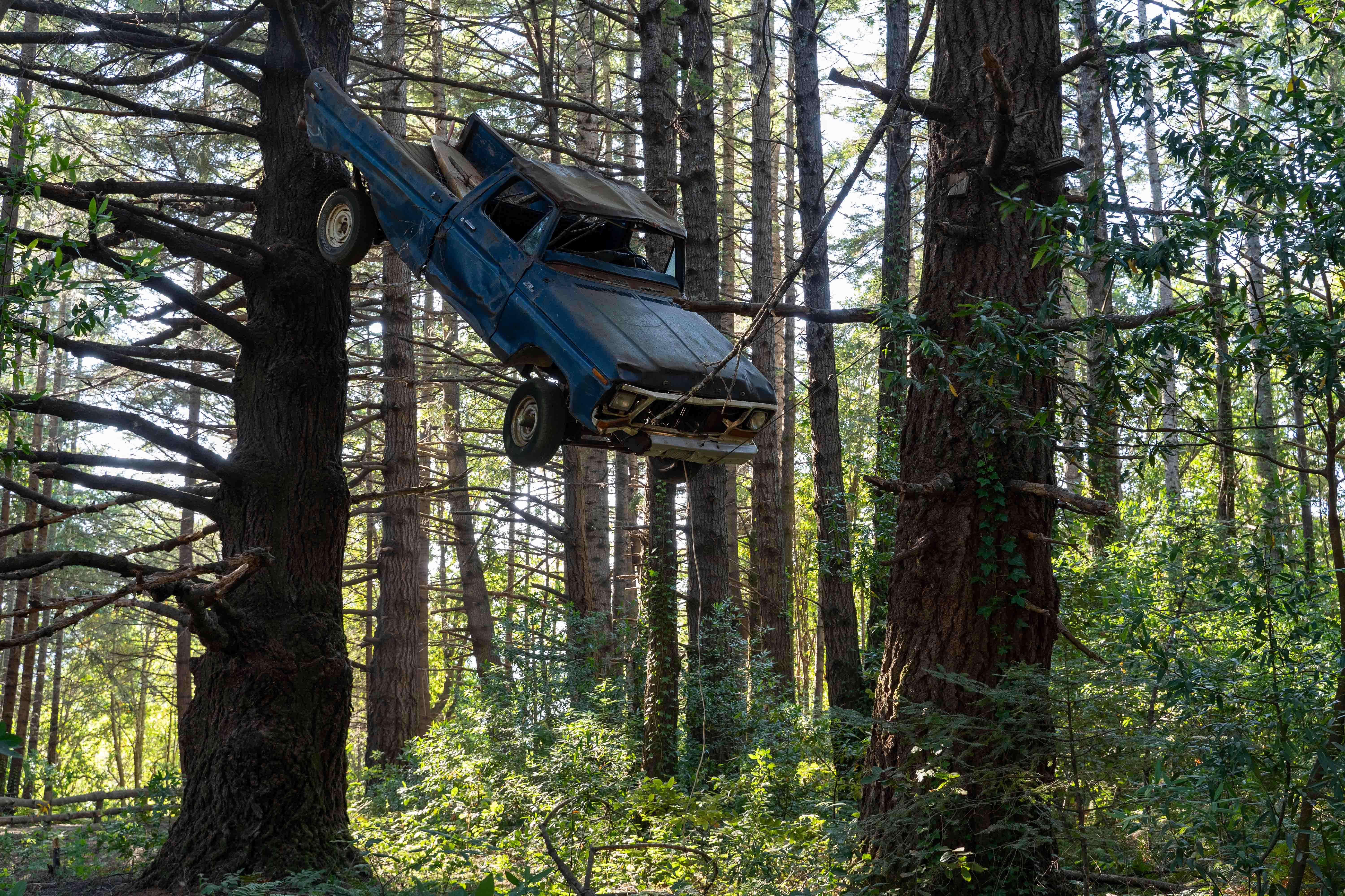
Truck-in-a-tree on the Lighthouse Road
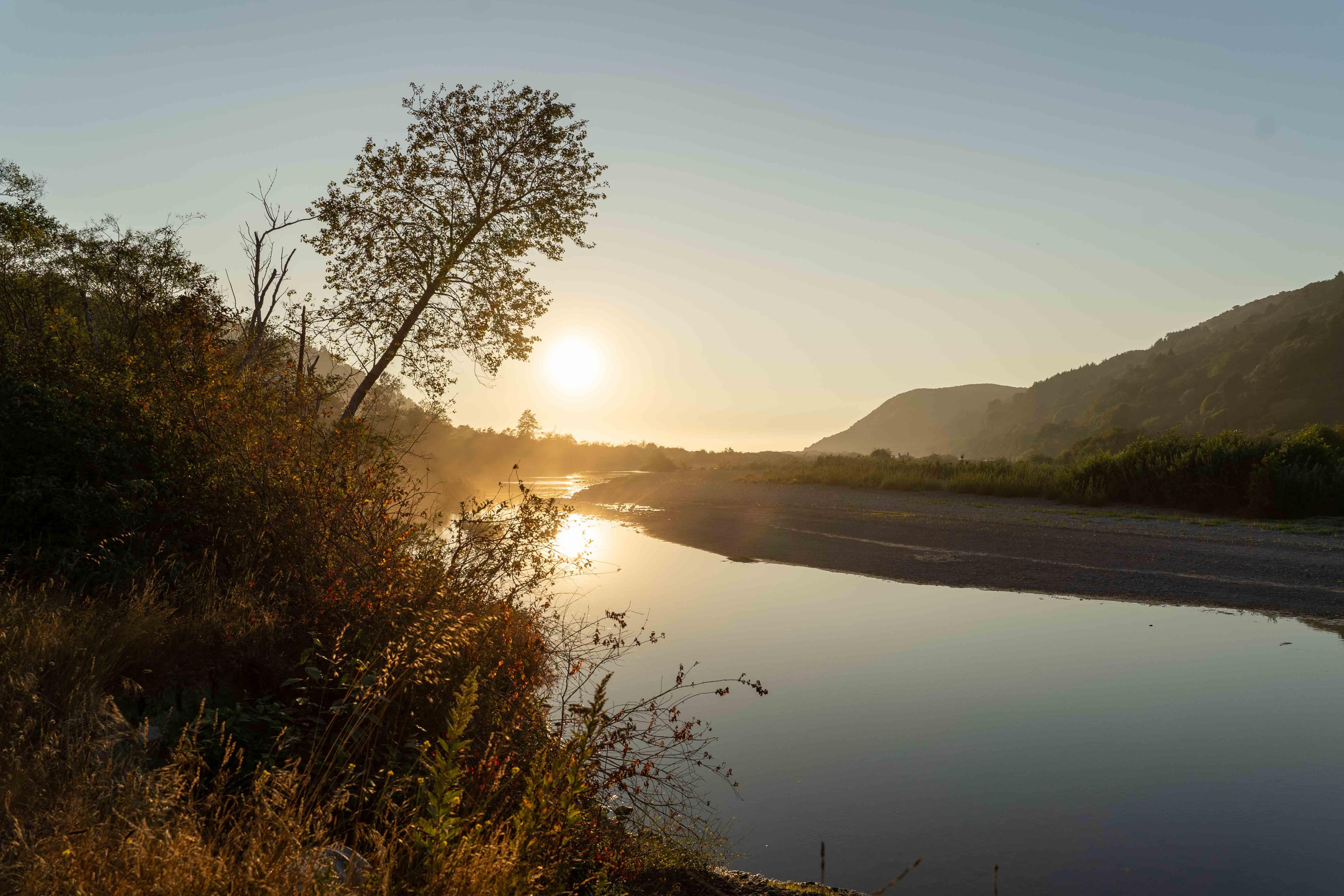
Mattole river gorge
I recommend taking the Prosper Ridge / Windy Point dirt roads up to Punta Gorda, a cliff above the shore, a very windy place indeed. There I parked and hiked the remaining two miles to the lighthouse. Totally worth it: gave me a chance to experience the Lost Coast trail without having to commit for multiple days.
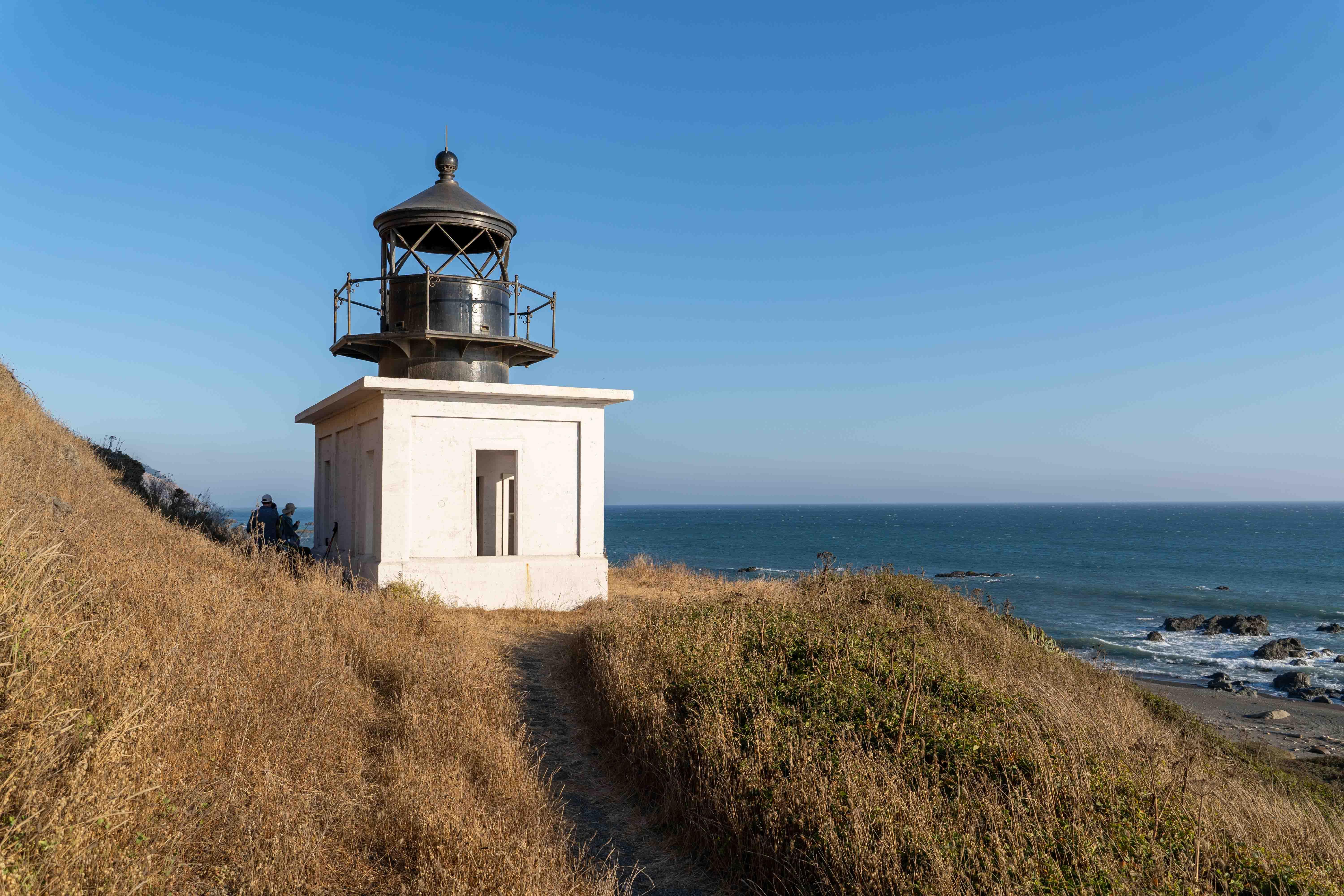
Punta Gorda lighthouse
After enjoying the sunset and having a dinner I was on my way home - through the Humboldt Redwoods State Park and looping south on hwy 101.
Chamisal Mountain W6/NC-187 SOTA activation
The summit is covered with wood and dense underbrush. I saw a bench on the photos made by people hiking there couple of years ago. The bench is gone now, so you’re free to improvise. My dipole was clearly not the best fit for the environment - the legs were pressed down by branches and this squeezed-down setup ended up having high SWR. Would much prefer to have a vertical antenna. The “portable shack” with a hiking chair and a table is really comfortable. I’m certain the chair is going to accompany me to most activations, still on the fence about table.
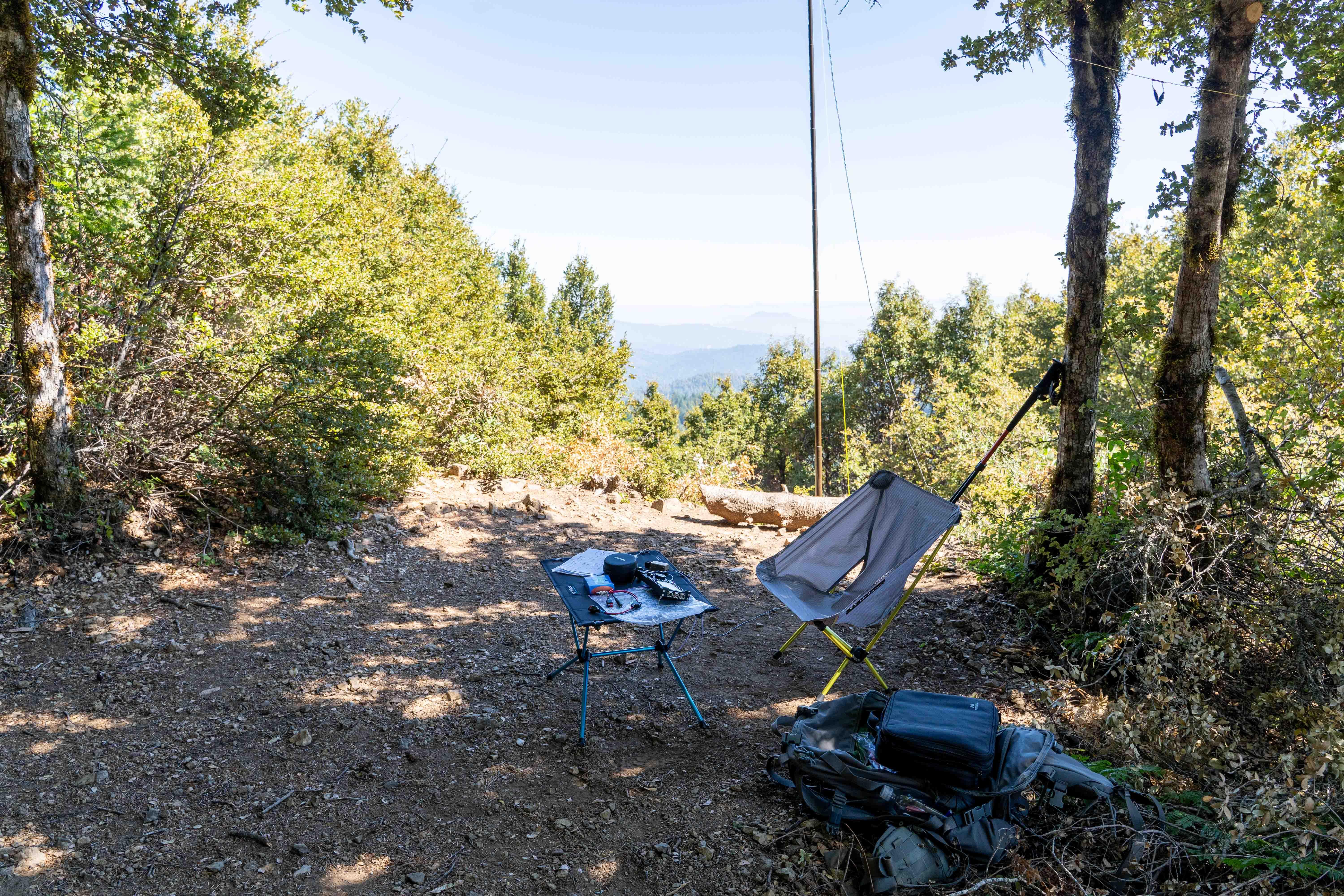
Station on the summit. The bench is gone
Stations worked from W6/NC-187
Only five contacts, but three of them were summit-to-summit and one of them with George KX0R! I am always glad to hear Darryl WW7D as well as all the chasers who help with the activation. Thank you very much folks.
| Time UTC | Call sign | RST sent | RST received | Frequency | Mode | Summit-to-Summit |
|---|---|---|---|---|---|---|
| 17:22 | KX0R | 559 | 559 | 14.063 | CW | w0c/sr-052 Thorodin Mountain |
| 17:24 | WU7H | 559 | 549 | 14.063 | CW | w7w/CW-085 Snooze Peak |
| 17:30 | WW7D | 449 | 529 | 14.063 | CW | w7w/CW-085 Snooze Peak |
| 18:05 | K0TTW | 559 | 539 | 14.063 | CW | |
| 18:10 | NK9G | 559 | 559 | 14.063 | CW |
This is it for now. 73, K0SSK out.